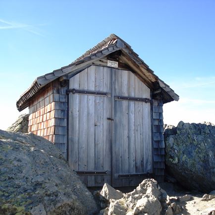
Neue Bamberger Hütte

Open todayKelchsau
favorite_borderfavorite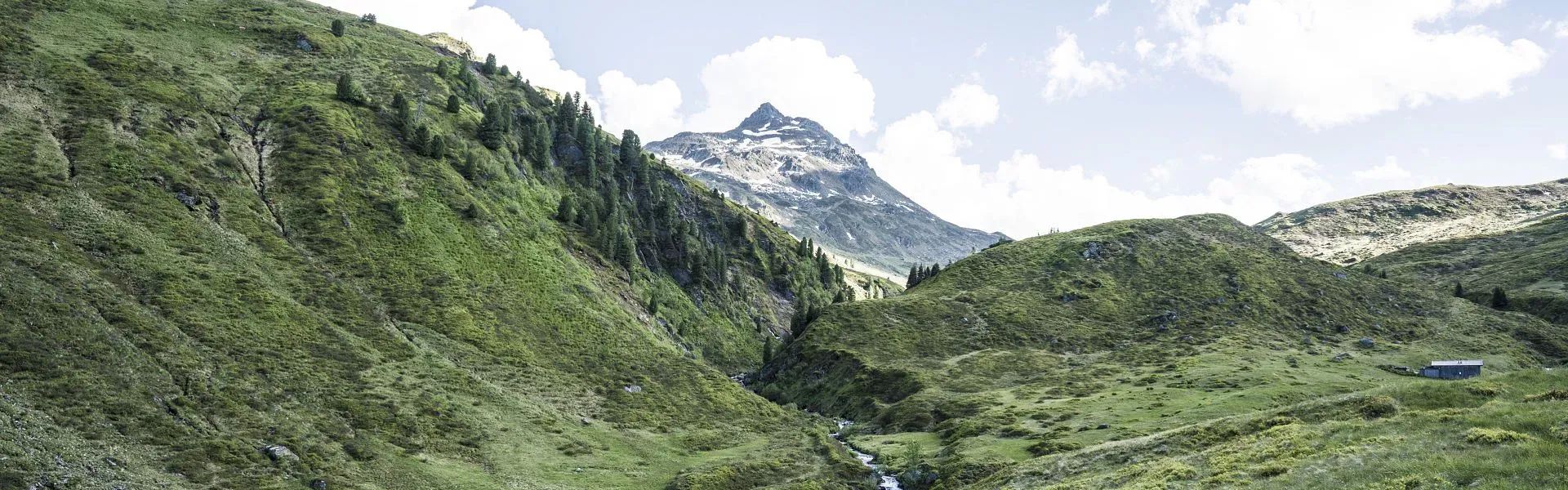
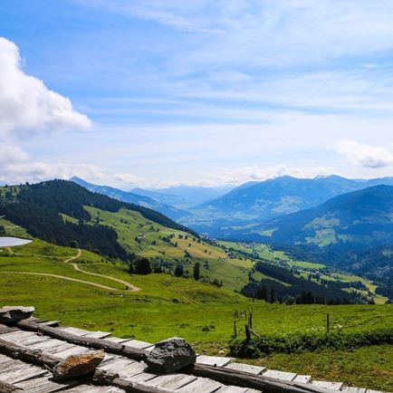
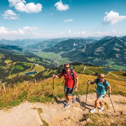
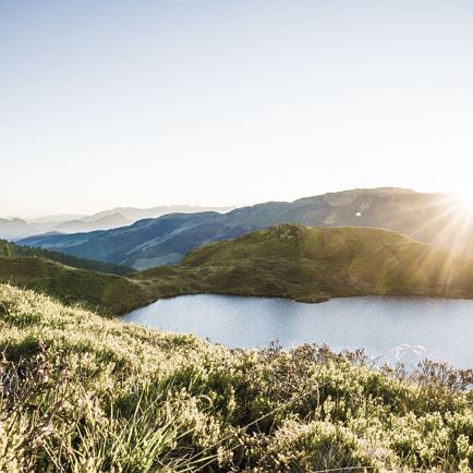
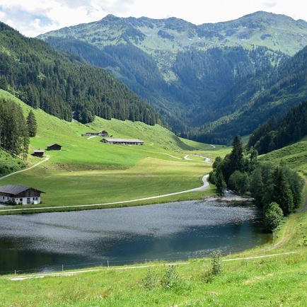
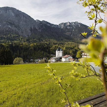
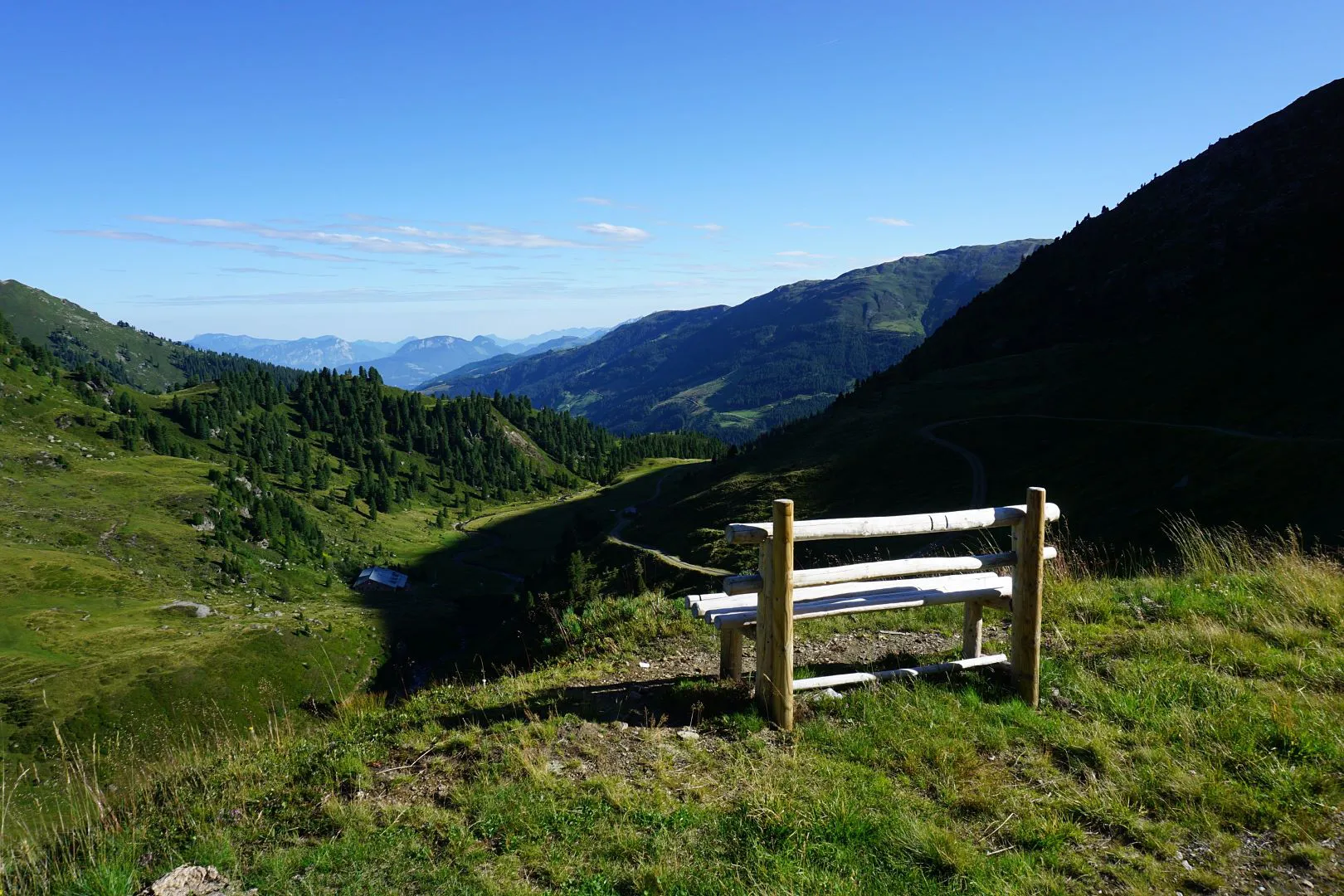
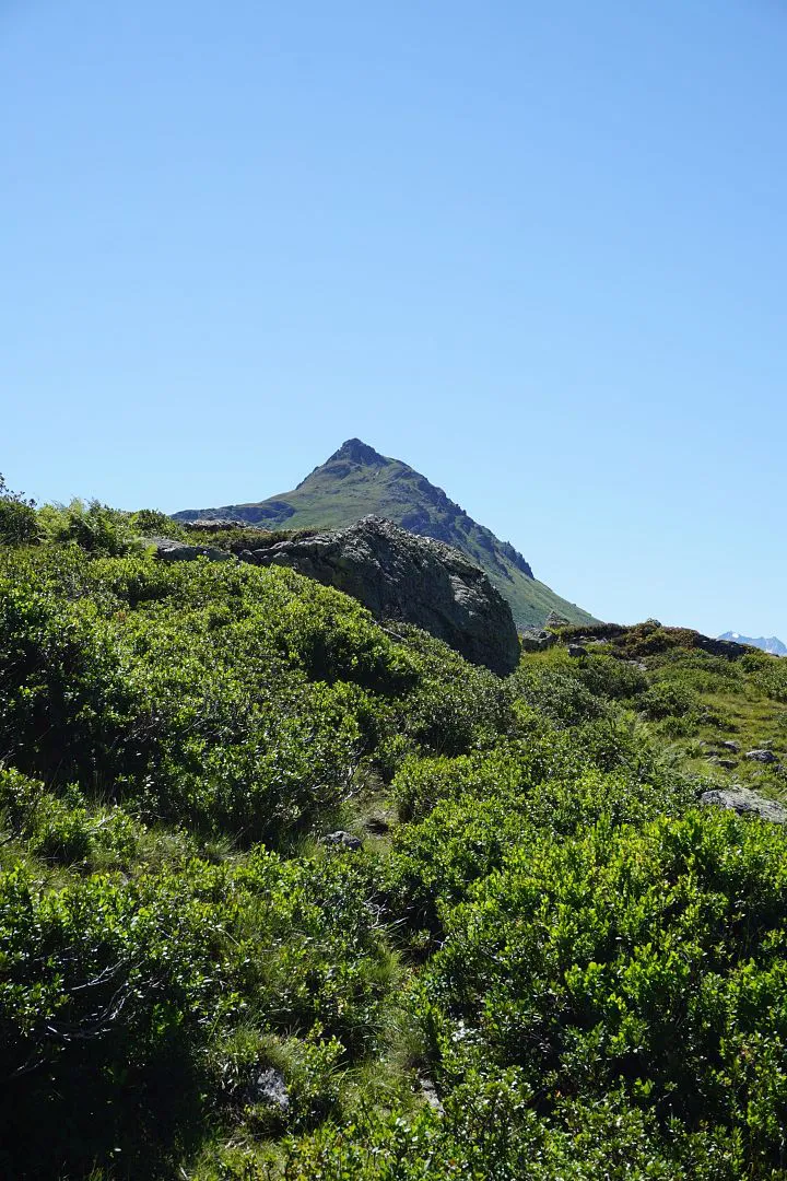
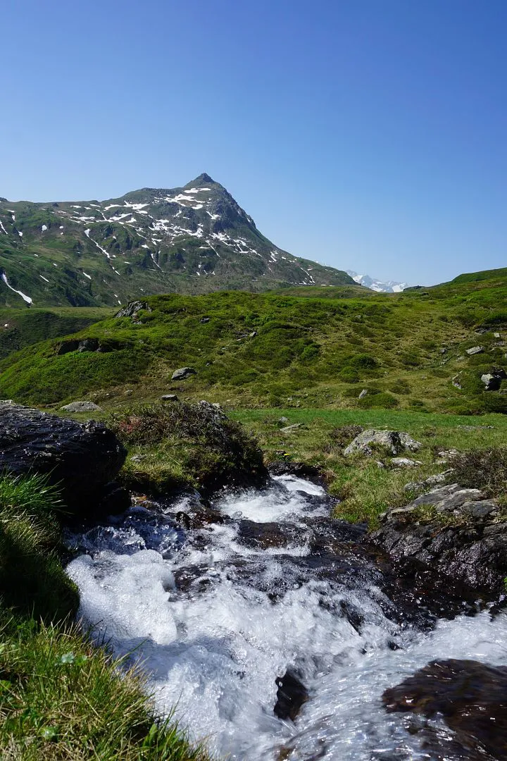
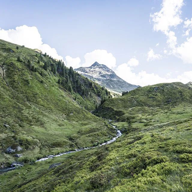
The Tristkopf can be seen from quite a distance thanks to its impressive peak . As a mountain that marks the border between Tirol and Salzburg, it is well-known in particular for its stunning panoramic views, which extend from the well-known peaks of the Hohe Tauern to the Hohe Salve and the Wilder Kaiser. The breath-taking panorama and the scenery in the natural gem of Kelchsau make this hike a real highlight. On the descent there is the option of visiting the little chapel Markkirchl on the Salzburg border. By way of a reward for the challenging ascent, a trip to the Neue Bamberger Hütte is worthwhile. The landlord serve traditional Tirol fare and refreshing drinks.


checkDuration: approx. 6 1/2 hours
checkDistance: approx. 7.7 km
checkHighest point: 2361 m
checkMetres climbing: 1230 m
checkLevel: Medium / Red throughout
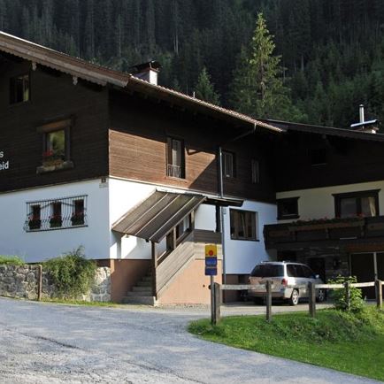
checkStart point: Car park at Gasthof Wegscheid in Kurzer Grund, Kelchsau
Special points on the route: Neue Bamberger Hütte (snack stop and overnight stay option), Streitfeldenalm (traditional Alpine lodge - no snack stop available)
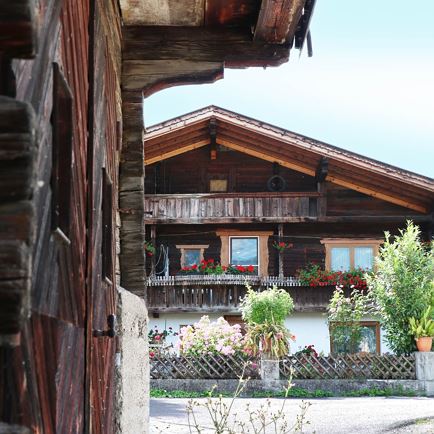
At the start and end point for the hike: Alpengasthof Wegscheid. Neue Bamberger Hütte is situated at the foot of the Tristkopf and has delicious Tirol dishes as well as the option to enjoy an overnight stay.
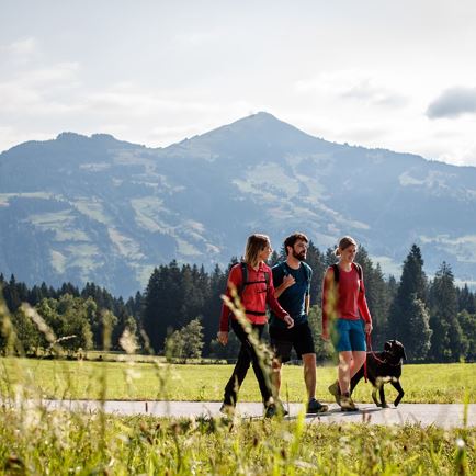
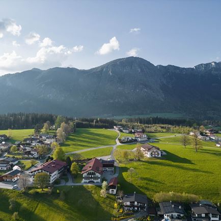
Hiking paradise of Kelchsau
Today 2026-06-23
Tomorrow 2026-06-24
Tomorrow 2026-06-25
Tomorrow 2026-06-26