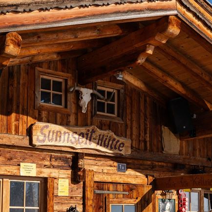
Alm Inn Möslalm
Closed todayWörgl
favorite_borderfavorite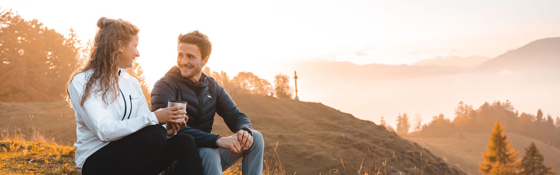
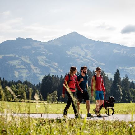
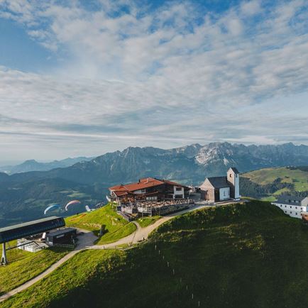
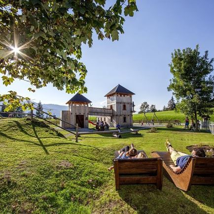
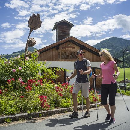
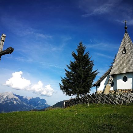
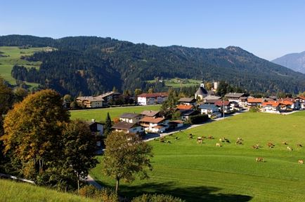
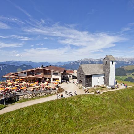
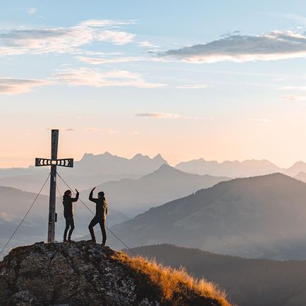
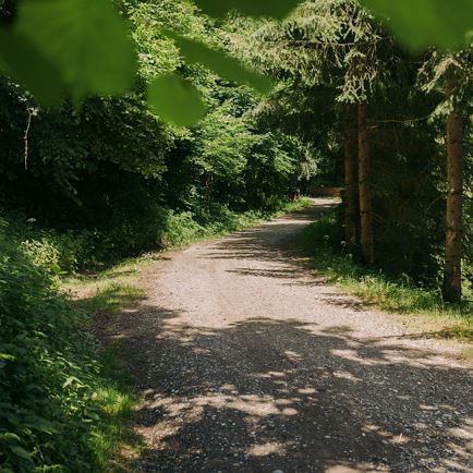
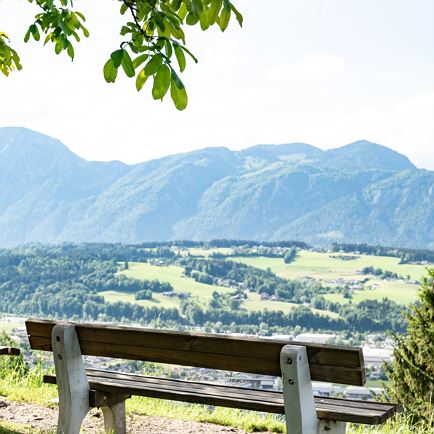
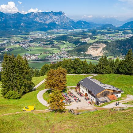
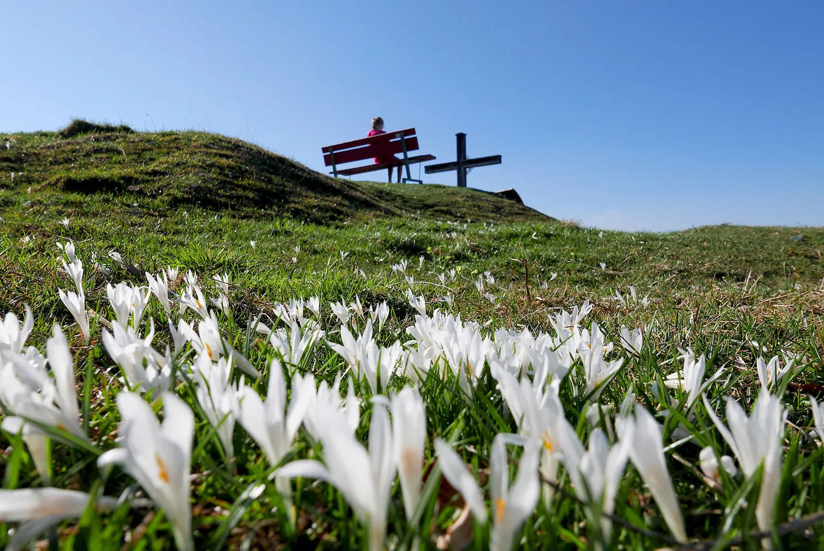
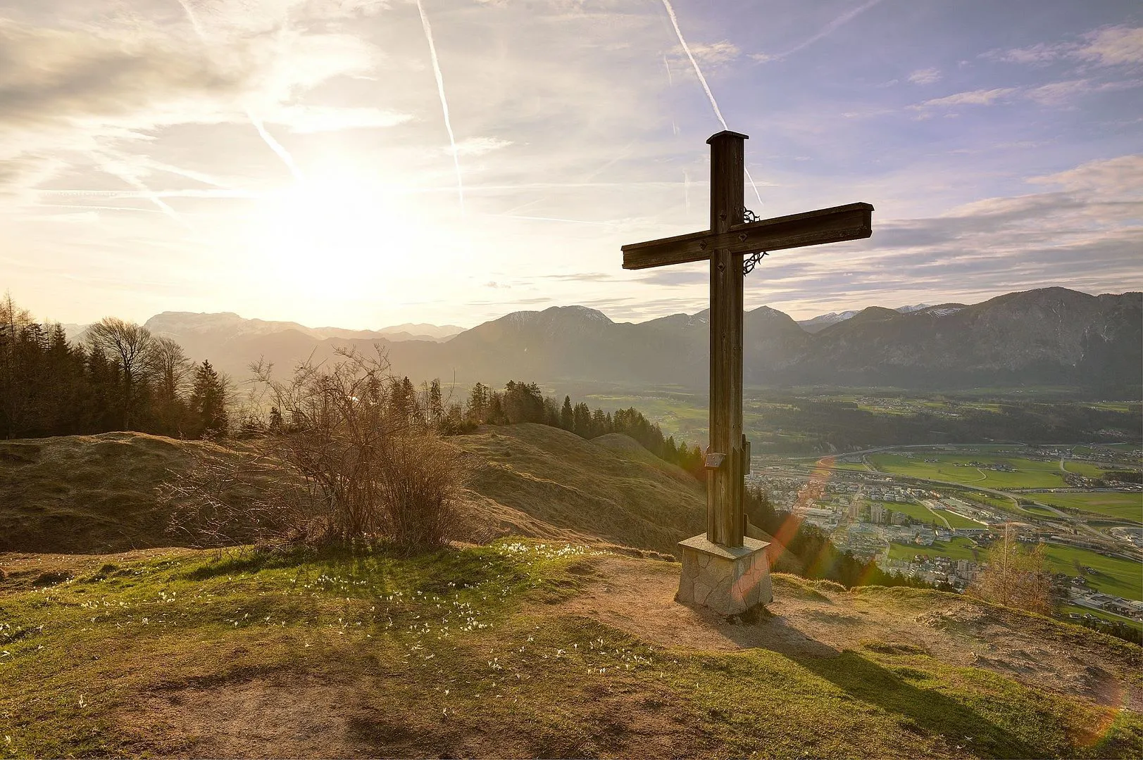
Cuisine, summit fun and views - in every event these are the highlights of a hike to the Möslalm and to the Möslalmkogel in Wörgl. High above the town, families are well catered for, just as much as pleasure-oriented sports fans and hikers. The summit is easily accessible and provides an extra special mountain adventure, whether it is in spring, summer or late autumn. As well as hikers, there are also lots of mountain bikers and E-bikers up on the Möslalm. The wide forest trail is an official cycle route up to the Alpine inn. In winter the hiking trail becomes a snow track, delighting winter hikers and tobogganing fans. Explore this pleasure-oriented mountain in the town of Wörgl and find out more about the hiking trail and the snack stop options available via this site.


checkDuration: depending on the hiking trail, approx. 2 - 3 hours
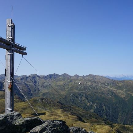
checkHighest point: 1109 m
checkMetres ascent: depending on the hiking trail, 440 - 550 m
checkLevel: Medium / Red throughout
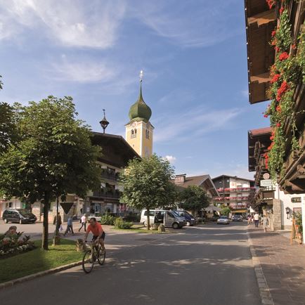
checkStart point: Wörgl parish church or Hopfgarten information office
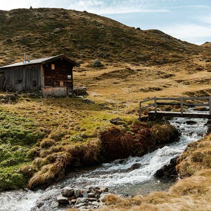
Special points on the route: Möslalm (snack stop option)
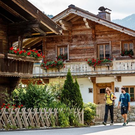
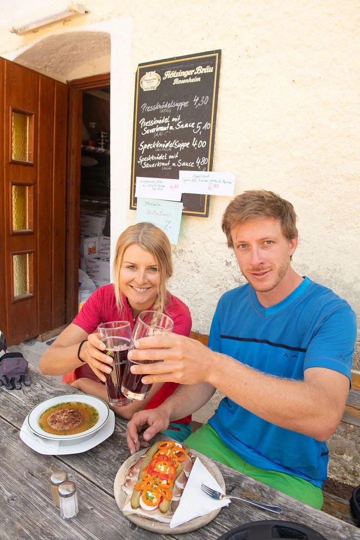
After a hike, Alpengasthof Möslalm tempts you in to enjoy a leisurely snack stop. High above Wörgl you get to enjoy delicious meals and refreshing drinks on the sun terrace. The city of Wörgl and town of Hopfgarten have lots of additional snack stop options at hike start points.
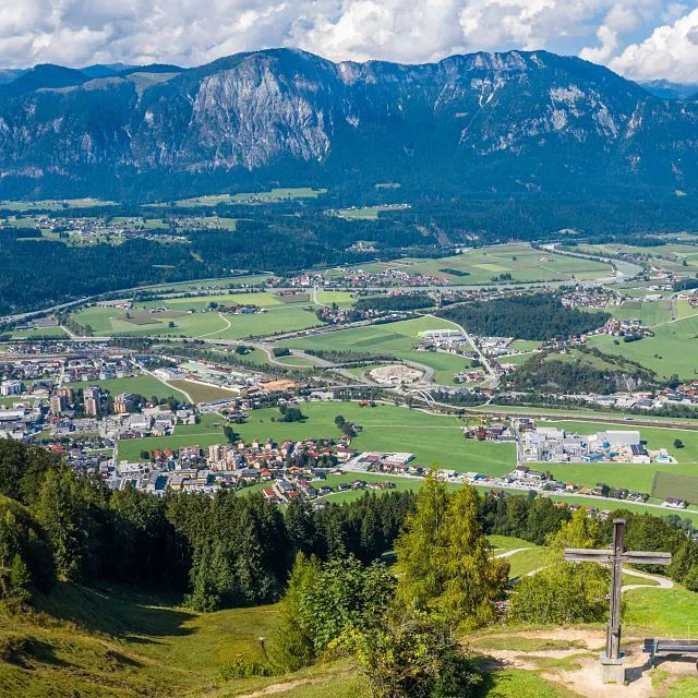
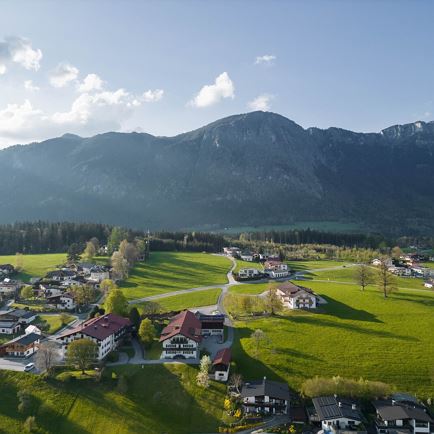
From the city into the middle of nature
Today 2026-07-14
Tomorrow 2026-07-15
Tomorrow 2026-07-16
Tomorrow 2026-07-17