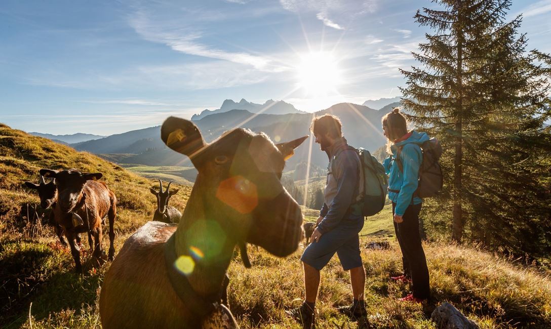
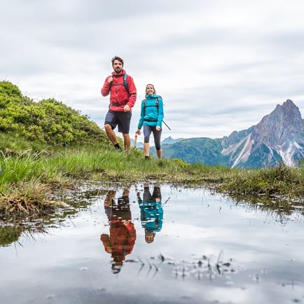
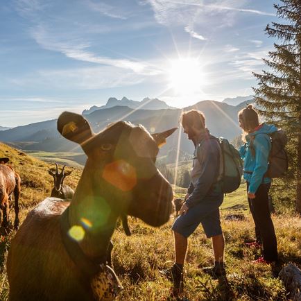
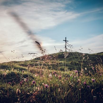
Variety-packed hike to asecluded plateau with various karst formations and dry alpine pastures. Areas of mountain pine, lots of areas of mixed forest and yet again extensive views to all four points of the compass complete this mountain adventure. The route proceeds over steep paths, pastureland paths and normal paths and is classified as medium difficulty level. In the final third of the tour there is also the option to enjoy a refreshment stop in the traditional Winterstelleralm.
Preliminary notes: With the
Okto Hiking Bus to the hiking start Baumooskogel at the hamlet Scheffau, the
KAT Walk Compact stage 5 is reduced to 16 km, 6 hours duration and 740 m elevation gain. The Okto Hiking Bus runs from Monday to Friday. Information and timetable:
Okto Hiking Bus From the town centre in
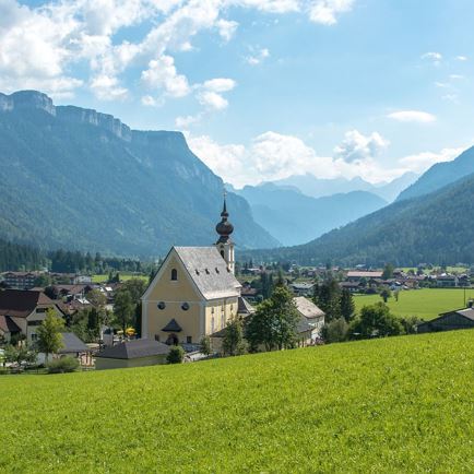
St. Johann in Tirol hike past the front section of the
Dekanatspfarrkirche (church) heading for the hamlet of
Oberhofen. Once you come to
Wieshoferbridge – shortly after the statue of St. Nepomuk – bear right on to a side street to then get to Achendamm. The first section to the left proceeds from Achendamm to the farming hamlet of
Oberhofen. Impressive
Unterinntal farmsteads line the route.
If you follow the
signposts for
Kalkstein, you will pass a
trotting track and then come to the highest
hamlet in St. Johann in Tirol. At around 900 metres altitude, at the hamlet of
Scheffau, take a
right at a
gate and follow a
forest path to
Kalkstein,
Adlerspoint. Continue straight up on this, via several
bends, until the path dips into the
forest. After
two bends, you come to a
junction at around 1,120m, where you then take a
left on a
steep path heading for
Adlerspoint. Now head up the
ridge, following the
red-white-red ground markings through alternating
forest and
pasture terrain, up to the
saddle beneath the
Baumooskogel. At the
junction for the
Baumooskogel bear
right, continuing down to
Baumoosalm.
From the inn, head
down on the normal
path for a short section, then
climb to Bruggwirtsalm (1,356 m). Keep following the
signposts for Adlerspoint, hiking through the
Alpine area until you get to a
former mountain guesthouse (1,419 m, 3 hrs 30 mins from St. Johann i. T. town centre). After a short section continue on a
forest trail, until a
steep path bears
left, heading for Kirchberg.
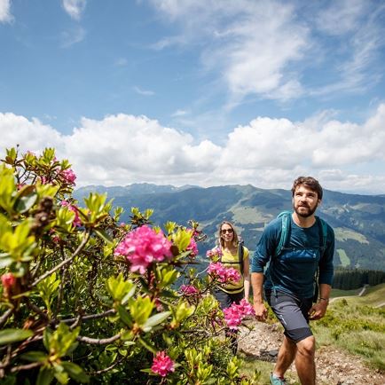
This proceeds initially through an area of
mountain pine and later into open
Alpine landscape, where you then come to the
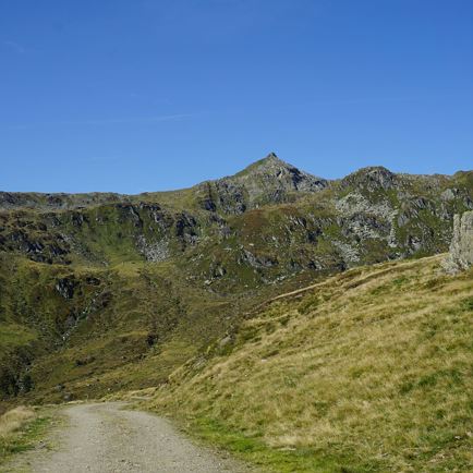
highest point of the tour at around 1,550 metres altitude.
Again follow this path which goes slightly
downhill and then becomes a
pasture path, leading down to the Gerstbergalm (1,501 m).
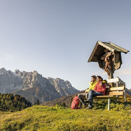
Behind the
inn go straight on through a little
valley, continuing to Winterstelleralm.
The route proceeds, with no ascent worthy of mention, up to the
saddle above
Winterstelleralm (refreshments available).On the path down to the Alm, where a
refreshment stop is worthwhile (1,423 m, 1 hr 15 mins from Adlerspoint).
After Winterstelleralm follow the
forest road into the valley to Lindtalalm /St. Ulrich. At Lindtalalm take a right turn, heading
left to Latschenbad / St. Ulrich.
Cross over
mountain slope/ Alpine pasture, with the path initially heading slightly uphill and then
down to
St. Ulrich am Pillersee.
The
hiking path merges into an old
forest road. Follow this until you come to an
asphalt road (heading to
MACK mountain pine oil distillery). Go
left here, following the road for around 100 m, before bearing
right on to a
pasture trail to the
centre of
St. Ulrich a. P.
Pass the
church and you will come to the
centre of the village and the
finish of the KAT Walk, outside Raiffeisenbank
St. Ulrich am Pillersee.From the inn, head
down on the normal
path for a short section, then
climb to Bruggwirtsalm (1,356 m). Keep following the
signposts for Adlerspoint, hiking through the
Alpine area until you get to a
former mountain guesthouse (1,419 m, 3 hrs 30 mins from St. Johann i. T. town centre). After a short section continue on a
forest trail, until a
steep path bears
left, heading for Kirchberg.
This proceeds initially through an area of
mountain pine and later into open
Alpine landscape, where you then come to the
highest point of the tour at around 1,550 metres altitude.
Again follow this path which goes slightly
downhill and then becomes a
pasture path, leading down to the Gerstbergalm (1,501 m).
Behind the
inn go straight on through a little
valley, continuing to Winterstelleralm.
The route proceeds, with no ascent worthy of mention, up to the
saddle above
Winterstelleralm (refreshments available).On the path down to the Alm, where a
refreshment stop is worthwhile (1,423 m, 1 hr 15 mins from Adlerspoint).
After Winterstelleralm follow the
forest road into the valley to Lindtalalm /St. Ulrich. At Lindtalalm take a right turn, heading
left to Latschenbad / St. Ulrich.
Cross over
mountain slope/ Alpine pasture, with the path initially heading slightly uphill and then
down to
St. Ulrich am Pillersee.
The
hiking path merges into an old
forest road. Follow this until you come to an
asphalt road (heading to
MACK mountain pine oil distillery). Go
left here, following the road for around 100 m, before bearing
right on to a
pasture trail to the
centre of
St. Ulrich a. P.
Pass the
church and you will come to the
centre of the village and the
finish of the KAT Walk, outside Raiffeisenbank
St. Ulrich am Pillersee.