View-packed Alpine hike.
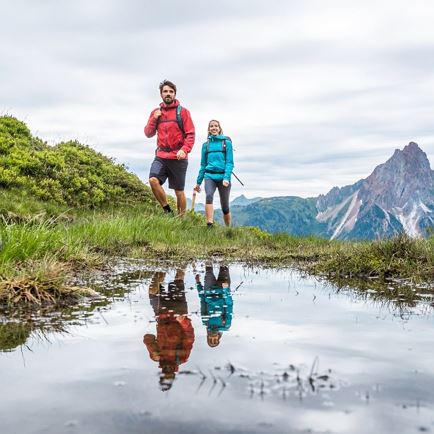
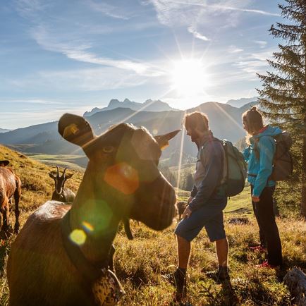
Alpine pasture hike with great views. ...
The route leads along easy to moderately difficult paths and forest tracks, the ascents are moderate and only a little steeper on short sections. However, with around 1,200 metres of altitude difference, you do need to be in good physical condition.
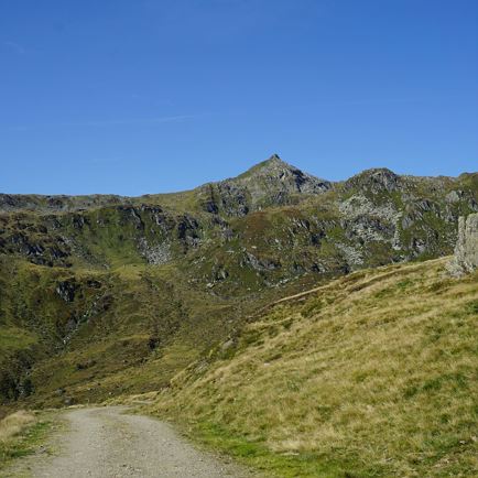
The highest point of the tour: the Lodron is one of the best panoramic mountains in the Kitzbühel Alps with a 360° view - from the glacier-covered Hohe Tauern to the Wilder Kaiser.
The stage starts at the Groder farm shop in the centre of Kelchsau. First follow the signposts towards Lodron, trail number 79. The tarmac road leads downhill for a short distance to the Kelchsauer Ache. Now follow the road uphill past beautiful farms. Soon a narrow path leads somewhat steeper across meadows and forests before you reach the Vordere Ölbankalm (1296). Follow the signs for Lodron along the forest track until you reach the Untere Lodronalm (1557 m).
Through wooded terrain, later on open alpine meadows, you hike directly to the Obere Lodronalm (approx. 1,700 m). Shortly before the alpine pasture, continue right along the path to the Lodronjoch (1,914 m). On this section, you must pay close attention to the ground markings (partly painted on stones or wooden stakes painted red-white-red). Due to the many cattle tracks, it is often difficult to recognise the course of the path.
From the Lodronjoch it is only a short distance to the summit of the same name (1,925 m) with its distinctive cross.
Due to storm damage at the end of June 2024 - an alternative route leads to Gasthof Steinberghaus.
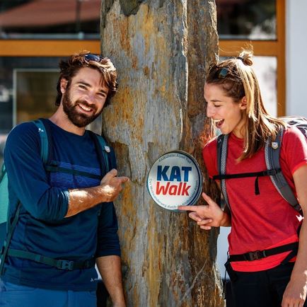
From the Lodron summit cross, hike north along the ridge on hiking trail no. 89 towards Hundskopf and continue via a path to the Hartkaserjoch and the Hartkaseralmen. From there, a fort road leads past some mountain pastures and down the valley to the Windautal/Rettenbach toll station. From there you hike approx. 2 km along the Windauache to the Steinberghaus inn.After you have strengthened yourself, follow the signs for the KAT Walk towards the valley. Past the Oberkaralm and the Lärchenbergalmen, hike steeply downhill over the so-called 'Sauwegl' through the mountain forest to the destination of the stage - the Gasthaus Steinberg.
Read more
 Medium