The hike starts at the Hotel Reitlwirt, or at the railway station in Brixen im Thale.
We follow the path (97) to the left as far as the small bridge. Here we turn right, after approx. three metres turn left again, past the Huberbauer farm to the Krautleit farm.
We follow the hiking trail uphill to the next signpost, turn right and follow the path until we reach the next farm.
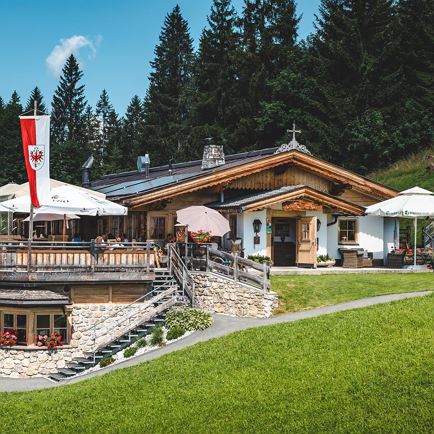
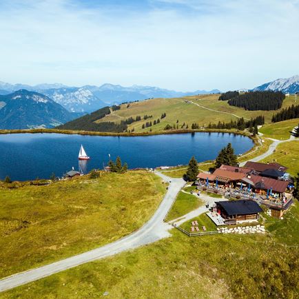
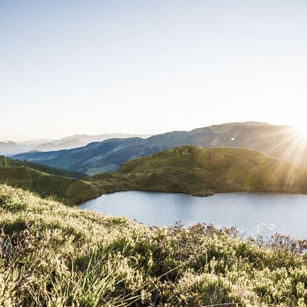
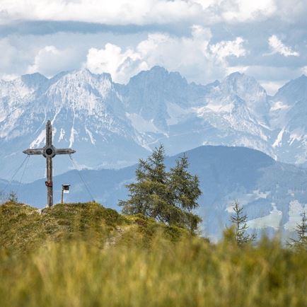
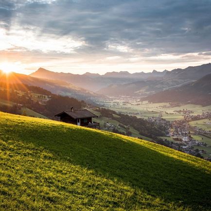
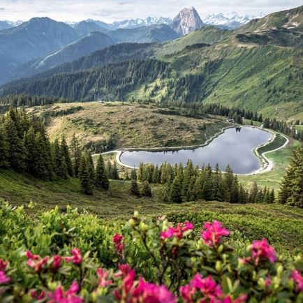
Continue straight on towards the edge of the forest. Here we follow the newly created hiking trail. When we reach the tarmac road, we can turn left to Gasthof Nieding and continue to the mountain station of the Hoch Brixen cable car or Filzalmsee, Brantlalm with its newly built lake, or we can cross the road and follow hiking trail no. 97 towards Jochstubensee. On the way back, we first follow the forest road where we turn left at the signpost, continue along an alpine path until we reach the forest road, which we follow to the Bodenalm fork, keeping left along an alpine path to the next track, which we follow to the next signpost Seiblschwend. A meadow path (on the right) leads us to the transformer station, after approx. 3 metres we keep right and walk along the Lindenweg to Haus Waldegg and turn right onto the forest path. We follow this to the Hotel Alpenhof, continue to the Hirzinger bakery, then bear right to the Hotel Reitlwirt.
Read more