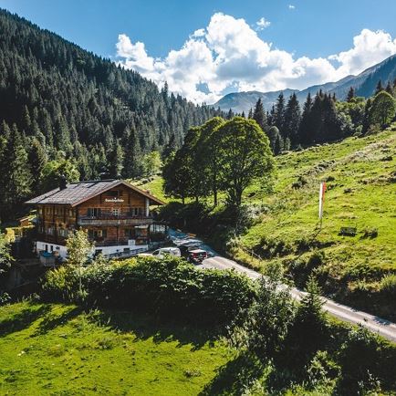
IMGP2536-Bearbeitet

Goasberg Joch

Panorama and pasture trail

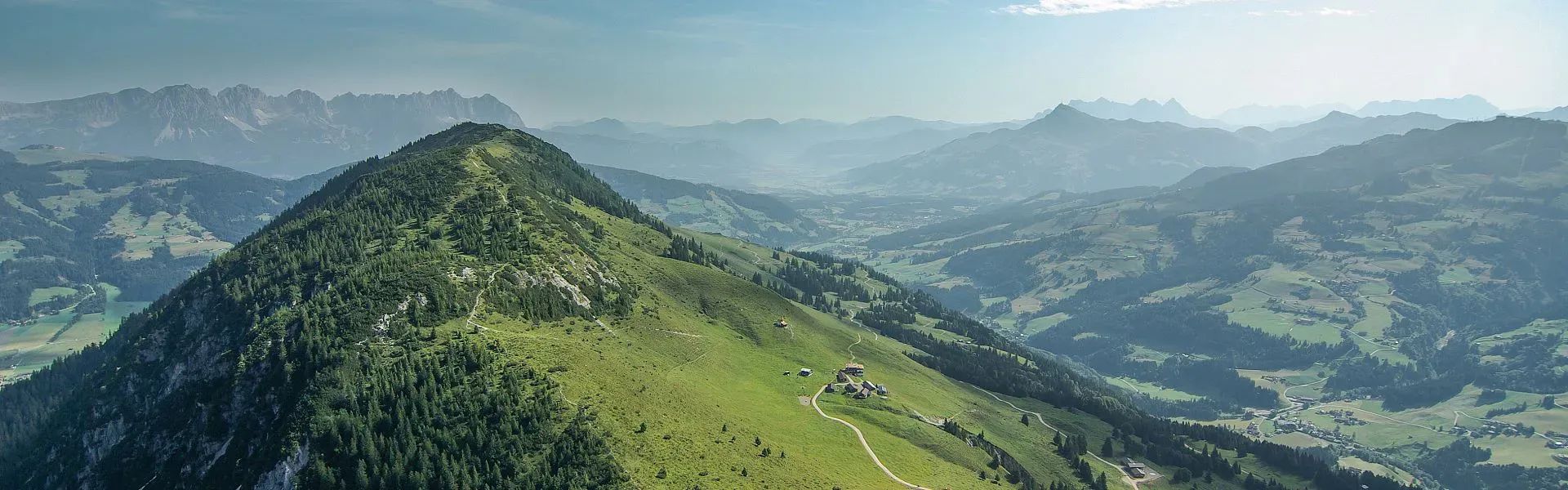
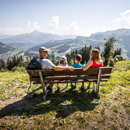
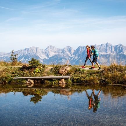
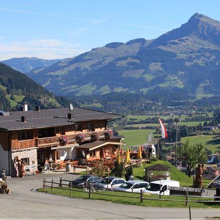
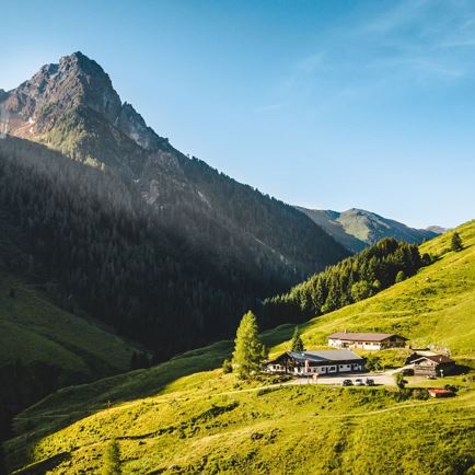
Gaisberg is known as the sports mountain in the Kitzbühel Alps. In winter, the options range from skiing and tobogganing all the way to ski touring and ice climbing. But in summer, too, Kirchberg’s local mountain has plenty to offer. Such as the Lisi Osl Trail, a lightning downhill run, as well as many additional mountain bike routes. The best way to discover the attractions of Gaisberg Mountain is on foot.

Data & Facts

  • checkType: Half-day tour

  • checkDuration: 2-3 hours

  • checkDistance: 9 km

  • checkHighest point: approx. 500

  • checkElevation gain: approx. 500

  • checkElevation drop downhill: 246 m

  • checkEquipment: good footwear

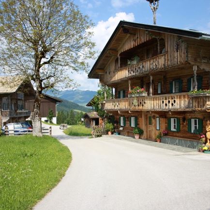
  • checkStarting point: Gaisberglift Kirchberg in Tirol

Special waypoints: Pilgrimage church Harlassanger Cross, Harlassangerkreuz Cross, Bärstättkreuz

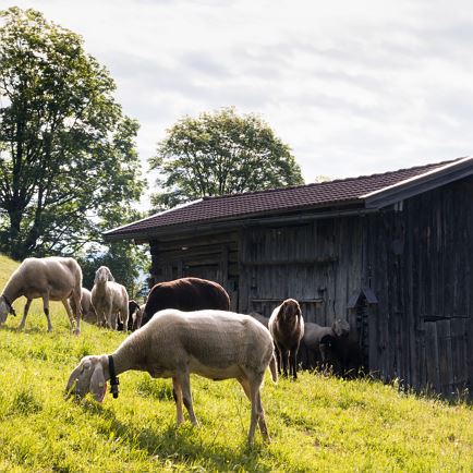
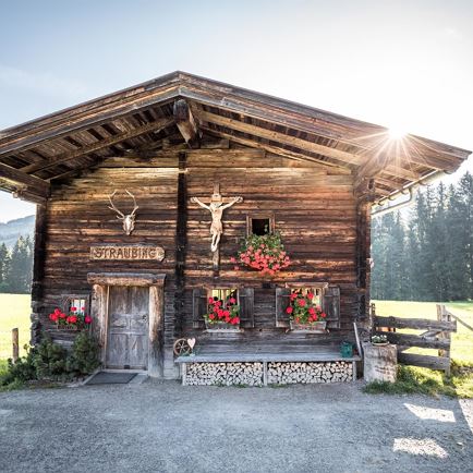
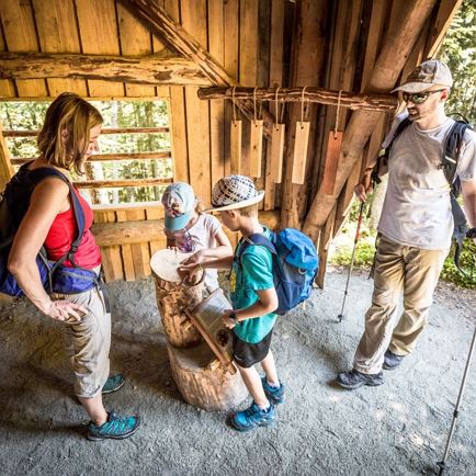
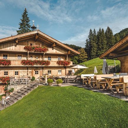
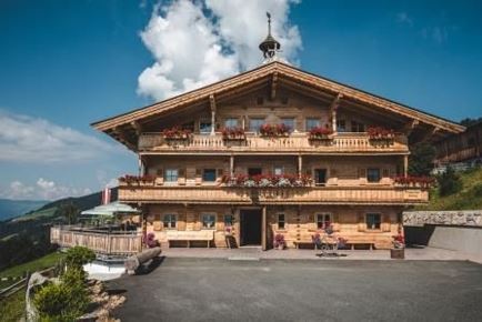
Snack stops: Gaisbergstüberl, Bärstättalm, Kobingerhütte, Wiegalm

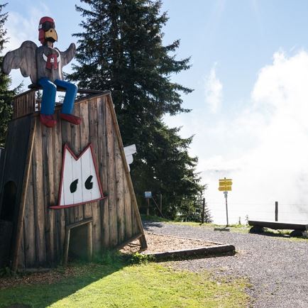
Tip: On the circular route you’ll find panoramic boards with the names of all the summits!

Fauna and flora

“Gais” (in Brixental dialect “Goas”) means a goat or a female chamois. The name of the mountain can probably be traced back to these animals. The inaccessible mountain pine slopes and rockfalls on the west side are the ideal habitat for chamois.
Rarities such as black grouse and hazel grouse are very shy and thus difficult to spot. Common raven, but also raptors can almost always be spotted somewhere along the circular hike, and frequently golden eagles also come to visit here from Rettenstein Mountain.

Thanks to this geological situation, you can also experience on this circular trail the lovely shift of
limestone and silicate flora, as beautiful as hardly found anywhere else. Around Wiegalm Lodge, for example,
the trail runs exactly along this border and with just a few steps you can traverse 200 million years!
Especially in spring and early summer the slopes of Gaisberg with their many orchids, gentian, auricula and quite a few other floral
rarities make for a splendid sea of flowers.

Interactive map

Plan your tour to the Gaisberg Joch with our interactive map. In addition to the specific data and facts about the tour, you will find further, specific route information, an altitude profile of the tour and GPS data to download. Directions as a PDF are also waiting for you.

More

Further easy hiking tours

Gamskogelhütte

GamskogelhütteEasy
Gamskogelhütteaccess_time3:30 harrow_right_alt28,5 kmfavorite_borderfavorite

Obwiesen

ObwiesenEasy
Obwiesenaccess_time1:30 harrow_right_alt5,7 kmfavorite_borderfavorite

Naturlehrpfad

NaturlehrpfadEasy
Naturlehrpfadaccess_time3:00 harrow_right_alt8,0 kmfavorite_borderfavorite

Brixner Gangl

Brixner GanglEasy
Brixner Ganglaccess_time2:30 harrow_right_alt7,1 kmfavorite_borderfavorite