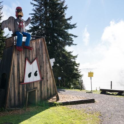
Almrosen auf dem Gamsbeil

Gamsbeil Mountain

A beautiful summit between Windautal and Spertental valleys

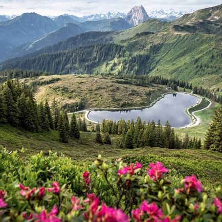
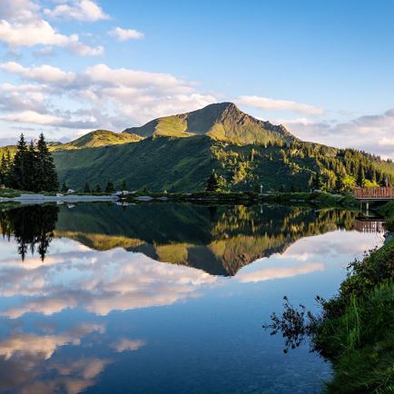
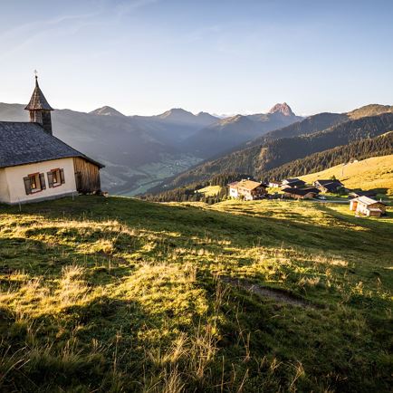
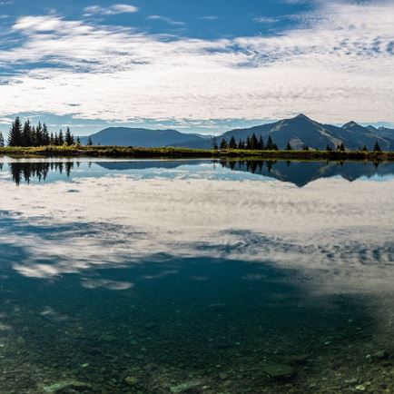
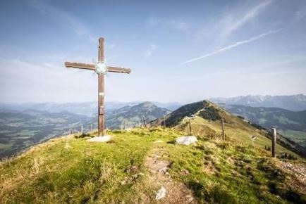
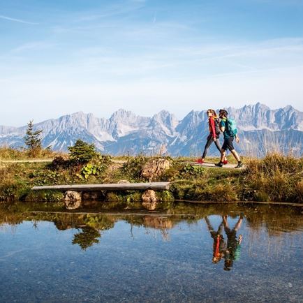
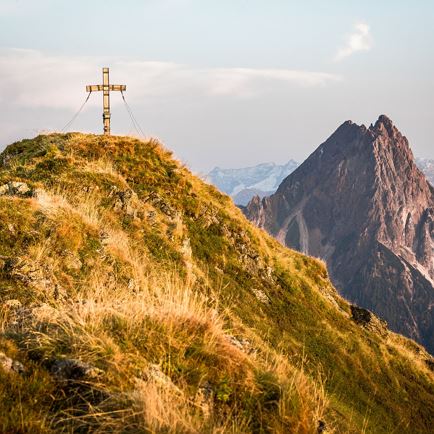
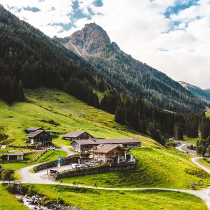
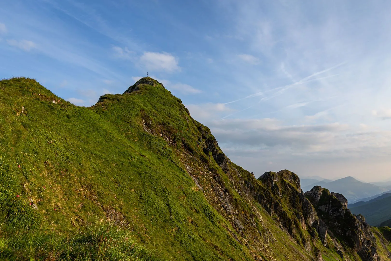
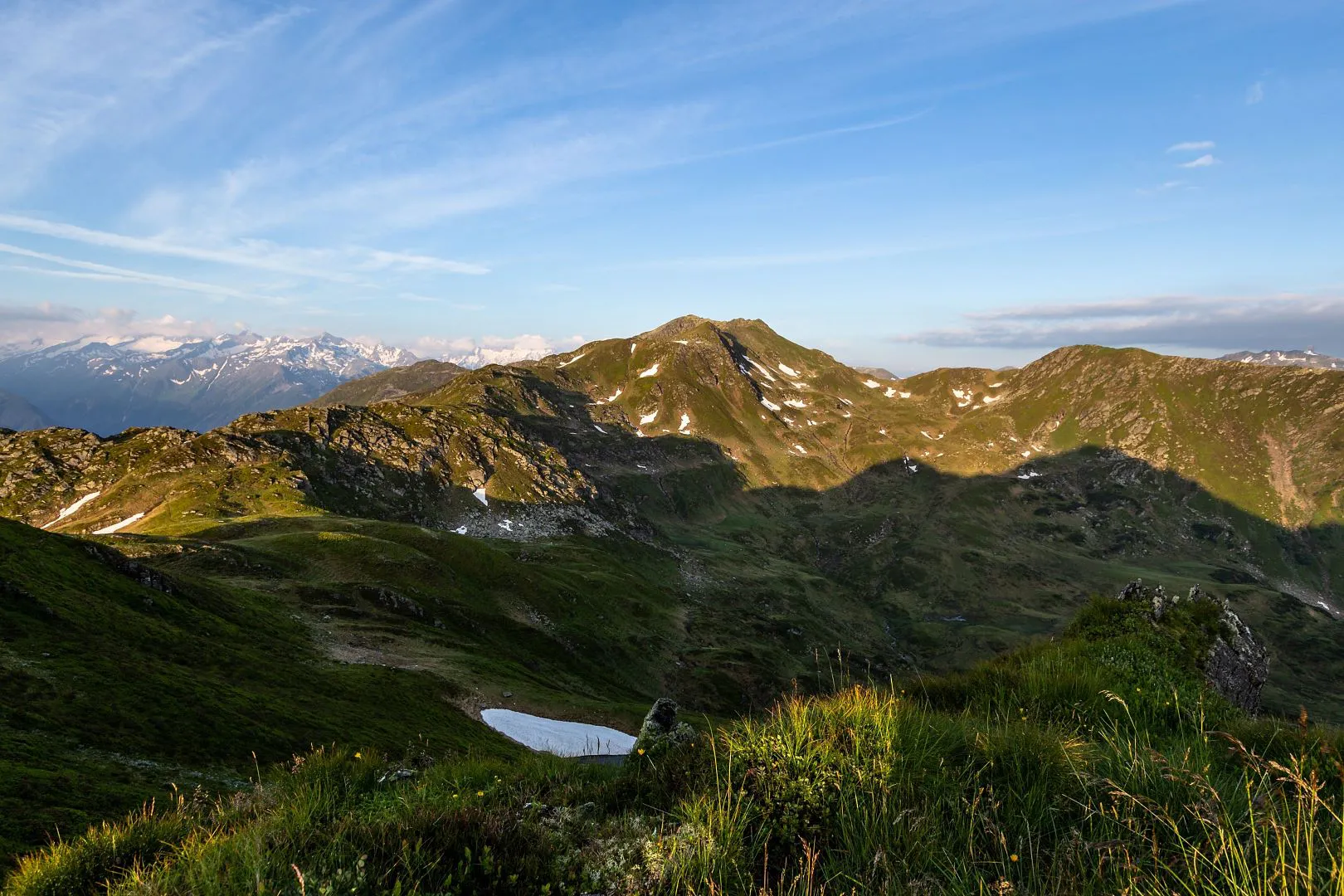
Gamsbeil is 2,169 m high and can be reached along a scenic hiking trail from Windautal Valley. It is very popular in particular with hikers who appreciate peacefulness and freedom. The start of the hike is in Windautal Valley, the side valley of Westendorf.

Data & Facts

  • checkDuration: 3.5 hours

  • checkDistance: 6.5 km

  • checkHighest point: 2,169 m

  • checkElevation gain uphill: 1,100 m

  • checkLevel: medium-difficult / red mountain path

  • checkEquipment: alpine mountain equipment

  • checkStarting point: Windautal - hunting cabin Ahornau

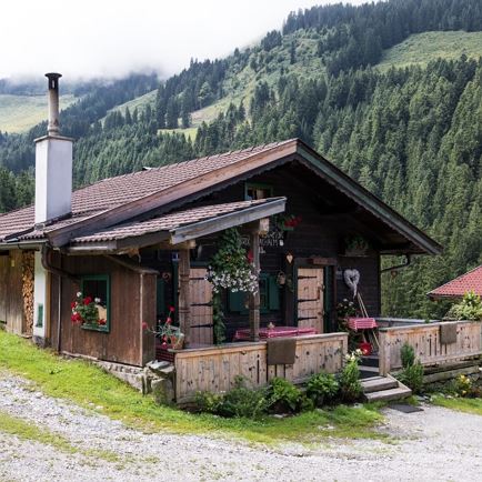
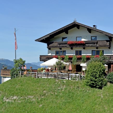
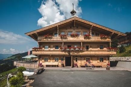
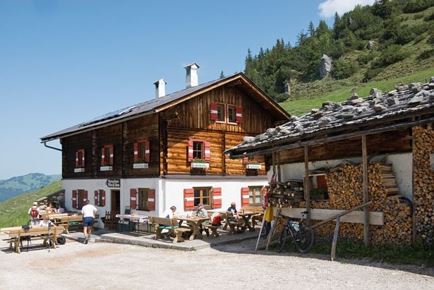
Snack stops: Gamskogelhütte, Gasthof Jagerhäusl and Gasthaus Steinberg --> snack stops only possible at the beginning or end of the hike

Summit hike to Gamsbeil

  • directions_walkMediumLevel
  • arrow_right_alt6,5 kmDistance
  • terrain2169 mHighest point
  • trending_up1100 mUphill
  • Details
  • Summit already in view
    The summit of Gamsbeil is already within sight
  • Small mountain lake
    Coming upon small mountain lakes while hiking is not uncommon. This lake is located on the way up to Gamsbeil.
  • Summit cross on Gamsbeil
    This summit cross is located on Gamsbeil in the Kitzbühel Alps. The view shows that the climb up is worth it.
  • Great view of mountains
    Great views can be had on a hike up to Gamsbeil.
  • Hiking trail up to Gamsbeil
    The hiking trail up to Gamsbeil leads past wonderful spots.
  • Sunset on the way to Gamsbeil
    Sunset in the mountains makes for a wonderful photo backdrop.
  • Pig on the hiking trail
    In the mountains it can happen at times that you come upon animals. In this case, a pig crosses the trail on the way to Gamsbeil.

Interactive map

Plan your tour to the Gamsbeil with our interactive map. In addition to the specific data and facts about the tour, you will find further, specific route information, an altitude profile of the tour and GPS data to download. Directions as a PDF are also waiting for you.

More

Further tour suggestions

Urzeitweg

UrzeitwegMedium
UrzeitwegClosedaccess_time6:00 harrow_right_alt15,5 kmfavorite_borderfavorite

Brixner Gangl

Brixner GanglEasy
Brixner Ganglaccess_time2:30 harrow_right_alt7,1 kmfavorite_borderfavorite

Wappenweg

WappenwegMedium
Wappenwegaccess_time6:00 harrow_right_alt15,5 kmfavorite_borderfavorite

Kröndlhorn

KröndlhornMedium
Kröndlhornaccess_time7:00 harrow_right_alt13,5 kmfavorite_borderfavorite

Silberweg

SilberwegMedium
Silberwegaccess_time5:30 harrow_right_alt15,6 kmfavorite_borderfavorite