©Gartner_Mathäus_-3351

Brixner Gangl

The "Balcony of Brixen im Thale"

The "Balcony of Brixen im Thale" - the Brixner Gangl - passed all the qualification criteria and was awarded the Austrian Hiking Seal of Quality. The certified hiking trail in Brixen im Thale takes you on a leisurely tour around the holiday resort of Brixen im Thale.

play_arrow

Brixner Gangl

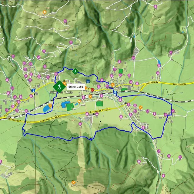
This certified hiking trail in Brixen im Thale takes you on a leisurely 7.0 km circuit hike around the holiday resorts

Details

  • checkType: Short tour

  • checkDuration: 2.5 hours

  • checkDistance: 7 km

  • checkHighest point: 889 m

  • checkElevation gain: 247 m

  • checkElevation loss: 246 m

  • checkEquipment: Sturdy hiking boots

  • checkStarting point: Brixen im Thale village

Special waypoints: Schneckgasse, the hamlet of Feuring with its alpine charm, the Brixen im Thale Parish Church

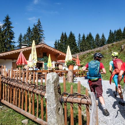
Refreshment stops: Brixnerwirt, Reitlwirt and Fischerstadl.
Brixner Gangl

  • EasyLevel
  • access_time2:30 hDuration
  • arrow_right_alt7,1 kmDistance
  • terrain890 mHighest point
  • trending_up150 mUphill
  • trending_down150 mDownhill
  • Details
  • Gemütliche Runde
  • ©Gartner_Mathäus_-3351
  • ©Gartner_Mathäus_-0474
  • ©Gartner_Mathäus_-3334
  • ©Gartner_Mathäus_-3406
  • Ausgezeichnet mit dem Österreichischen Wandergütesiegel

Enjoy the beautiful view from the Schneckgasse, the "Balcony of Brixen".

Through the forest
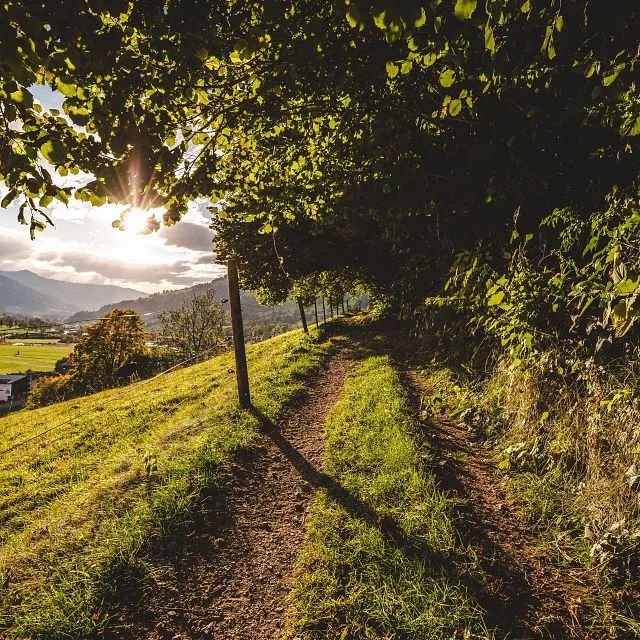
From the town centre, follow the short, somewhat steep path into the so-called Schneckgasse. On this atmospheric section of the route, heading past ancient trees and alpine meadows filled with flowers, it's not just the village which is in your line of sight. The entire Upper Brixental Valley from Kirchberg to Westendorf unfolds before your eyes. Hiking information panels provide you with fascinating facts about the region and its people. Hazel, hawthorn and many other branches create arbor-like passages, above the stone walls on the mountain side, alpine pastures filled with flowers are at eye level. The descent into the valley is initially lined with mighty ash trees, many of which have been hollowed out by the decaying of the heartwood.

From Lauterbach, the path proceeds down into the valley bottom to the hamlet of Feuring, which still retains much of its traditional alpine charm. You'll then come to the shadiest section of the trail lined spruce and fir trees of a large forest. As you approach the village again, heading along Brixental Ache river, you'll pass the "Werkstatt Natur" (Nature Workshop). As part of the by-pass and restoration of the village, a section of pastureland is being restored to blend in with the natural surroundings. Alder and willow trees form a green corridor above the brook, through which the sunlight manages to shine now and then.
Brixen im Thale vicarage

Brixen im Thale vicarage

The landmark of Brixen village is the twin-towered church. It is one of the most beautiful classicist sacred buildings in Tirol. The relatively young age of the church does not tell the full story, since beneath it lie the foundations of no fewer than four previous churches. In fact, the deepest ruins indicate that a secular building (probably Roman) stood on this site in Late Antiquity! This remarkable fact was discovered during archaeological excavations in 1978. You can find a document about this at the back of the church.

Of all the holiday resorts in the Brixental Valley, Brixen has by far the earliest record in the annals, in the Indiculus Arnonis dated 788 (one of the oldest goods lists of its kind in the world) - with signature by Charlemagne. One would not have guessed that in such a small village printed books existed only a few years after the invention of typography, and that they still are in good condition. The stately vicarage, with church and the forecourt form a characterful ensemble. This place is the starting point for the Anlassritt, a traditional procession on horseback.

Interactive map

Our interactive map provides many more details about the hike on the Brixner Gangl. Click on "more" and you will get the altitude profile, exact details and even GPS data. You are guaranteed to find your way around!

More

More easy tours

Naturlehrpfad

NaturlehrpfadEasy
Naturlehrpfadaccess_time3:00 harrow_right_alt8,0 kmfavorite_borderfavorite

Brixner Gangl

Brixner GanglEasy
Brixner Ganglaccess_time2:30 harrow_right_alt7,1 kmfavorite_borderfavorite

Panorama-Runde

Panorama-RundeEasy
Panorama-Rundeaccess_time1:30 harrow_right_alt7,8 kmfavorite_borderfavorite

The Auner Trail

The Auner TrailEasy
The Auner Trailaccess_time2:00 harrow_right_alt8,0 kmfavorite_borderfavorite