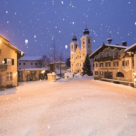
From Lofer you follow the Mozart cycle path along the Loferbach stream. The Way of St. James over the Strub Pass and through the picturesque fortress ruins is historically documented. After the Strubwirt, continue along the local road for a bit before turning left onto a forest path. The Kneipp facility Seisenbacher Quelle offers a pleasant cooling on hot pilgrimage days. The path continues via the hamlet of Unterwasser to the center of Waidring. The pretty Waidring parish church is visible from afar. Follow the village street. At the Brandtner schnapps distillery, keep to the left. A gravel path leads idyllically and partly in the forest to Erpfendorf. The parish church in Erpfendorf was built according to plans by Prof. Clemens Holzmeister from 1954 to 1957 and is emphatically simple, but fits impressively into the village landscape. At the church, continue walking along the village road. An underpass brings you to the other side of the main road and onto the hiking and biking trail along the Großache River. The river now accompanies you on your further pilgrimage via Kirchdorf to St. Johann in Tirol. Arriving in baroque St. Johann in Tirol, the sight of the mighty parish church on the main square is impressive. In the vicarage opposite you will receive your Way of St. James stamp for this stage.
Read more
