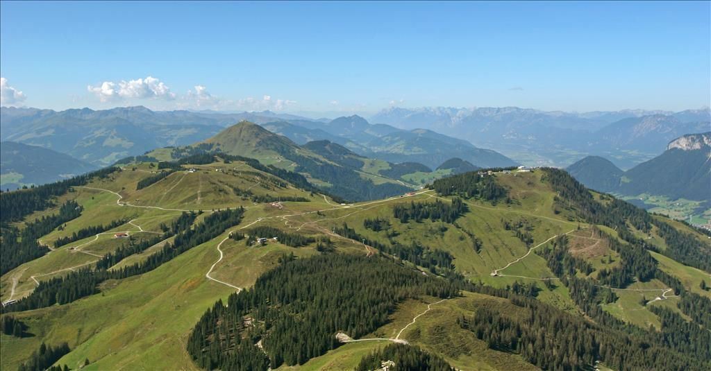
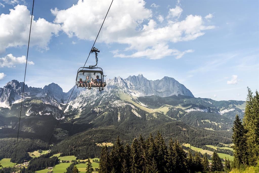
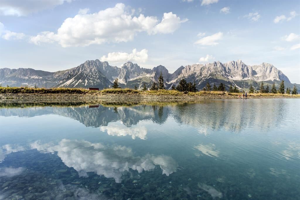
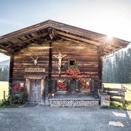
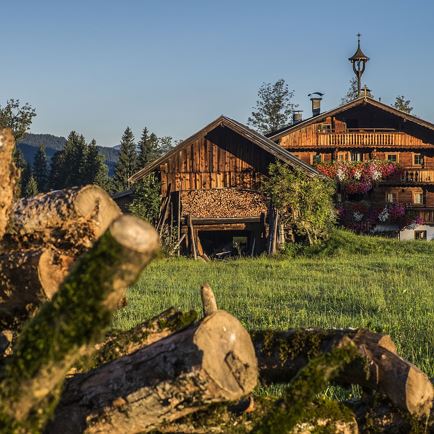
The tour is mostly on easy hiking trails with only a short section of moderate difficulty. The numerous refreshment stops serving regional delicacies, the glorious scenery of the Kitzbühel Alps with stunning views of the imposing Wilder Kaiser to the north and the main ridge of the Alps to the south make the hike a truly wonderful experience you’ll never forget.
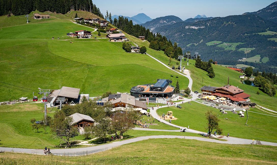
The SkiWelt Panoramic Trail can be hiked in many different ways. Access points and means of ascent and descent on the Bergbahnen Wilder Kaiser – Brixental summer cable cars are to be found in all four of the villages of the Kaiser region: Ellmau, Going, Scheffau and Söll. The Bergbahn Erlebnis-Card gives you unlimited use of all the cable cars as well as entry to the Adventure Worlds.
And the KaiserJet brings you back to your starting point.
Full course of the trail
Astberg – Hochsöll:
20 km / 840 hm ascent / 940 m descent / ca. 6 h (actual walking time)
Hochsöll – Astberg:
20 km / 940 hm ascent / 840 m descent / ca. 6 h (actual walking time)
Variations
Astberg – Hartkaiser:
13,6 km / 640 m ascent / 360 m descent / 4h 30 min
Astberg – Brandstadl:
12,6 km / 650 m ascent / 260 m descent / 4h 15 min
Hartkaiser – Astberg:
13,6 km / 360 m ascent / 640 m descent / 4h 30 min
Hartkaiser – Brandstadl:
2,8 km / 160 m ascent / 40 m descent / 1h
Hartkaiser – Hochsöll:
12,2 km / 260 m ascent / 650 m descent / 4h
8,2 km / 260 m ascent / 250 m descent / 3h *
Brandstadl – Hochsöll:
11 km / 180 m ascent / 660 m ab / 3h 45 min
6,9 km / 170 m ascent / 280 m ab / 2h 45 min *
Brandstadl – Hartkaiser:
2,8 km / 40 m ascent / 160 m descent / 1h
Brandstadl – Astberg:
12,6 km / 260 m ascent / 650 m descent / 4h 15 min
Hochsöll – Brandstadl:
11 km / 660 m ascent / 180 m descent / 3h 45 min
6,9 km / 280 m ascent / 170 m descent / 2h 30 min *
Hochsöll – Hartkaiser:
12,2 km / 650 m ascent / 260 m descent / 4h
8,2 km / 250 m ascent / 260 m descent / 3h *
* information when using Zinsberg cable car
Read more
 Easy
Easy