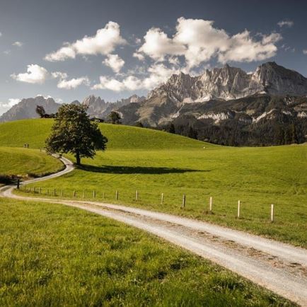
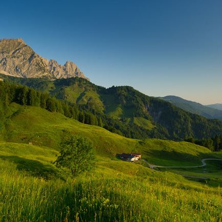
The starting point of this beautiful valley hike through the Hohe Salve region is the subway at the Strasserhof in Itter. There you follow the signs in the direction of Ittererdörfl. Once at the Dörfl, follow the signs towards Wörgl (no. 7). A gently sloping forest path leads to the Itterer district of 'Nasen'. Follow the signs to Bruckhäusl and continue along the road in the direction of Wörgl. Follow the road in the direction of Wörgl and cycle along the Brixentaler Ache through Bruckhäusl until you reach the energy and shopping metropolis of Wörgl. In Wörgl you cross the Inn River and then hike up a few metres to the plateau of the Angerberg. There you cross the centre of the village and follow the signs to Mariastein, passing wonderful farms and small settlements until you reach Mariastein, a small community with a great past. The shining white pilgrimage church, which should definitely be visited, still bears witness to this today.
More details about the Way of St. James in Tyrol & GPS data can be found on the homepage http://www.jakobsweg-tirol.net.
Way of St.James - one stage
Hiking
favorite_borderfavoriteplay_arrowpause
- Open
- EasyLevel
- access_time5:45 hDuration
- arrow_right_alt19,4 kmDistance
- trending_up353 mUphill
- trending_down191 mDownhill
Info
Way of St.James - one stage
Features
- check easy / hiking trail
- Asphalt, forest path, footpath
- outdoor clothing
Sturdy shoes
sufficient food and drinks
First aid kit
Mobile phone with full battery & charger
Hiking map & guide literature
Possibly a GPS device or download the GPS data to your mobile phone
Sun protection (sunglasses, sunscreen & cap)
rainwear, cash - Coming from Innsbruck/Munich: A12 exit Wörgl Ost - feeder road B178 direction St. Johann i. T. & Kitzbühel - after the tunnel stay on the B178 for approx. 3km (drive under the roundabout) - follow Luechstraße onto Loferer Straße - at the large crossroads (left Itter industrial estate) turn right onto Itterer Straße - after a slight road climb you will reach your destination after approx. 1.5km.
Coming from Kitzbühel: B170 Brixentalstraße in the direction of Wörgl - drive through Hopfgarten until shortly before the town exit (Hopfgarten railway station) - approx. 100m after Hopfgarten railway station, follow the signs to the right to Itter - on Itterer Straße approx. 2km up the mountain until you reach the finish. - bus: Itter Dorfplatz
Guest card = travel ticket - bus & train included!
Online timetables:
www.vvt.at
www.oebb.at
- free parking at the Dorfplatz Itter
More information about the tour
Arrival to starting point
Plan routeHöhenprofil
GPX Download