Federboden

Hiking

favorite_borderfavorite
play_arrowpause
  • MediumLevel
  • access_time2:00 hDuration
  • arrow_right_alt5,0 kmDistance
  • terrain1000 mHighest point
  • trending_up250 mUphill
  • trending_down250 mDownhill
  • Show map
025-14_franzgerdl__reg-st.johann_6025.jpg

Tour information

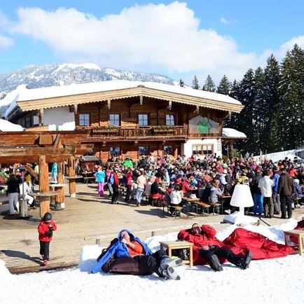
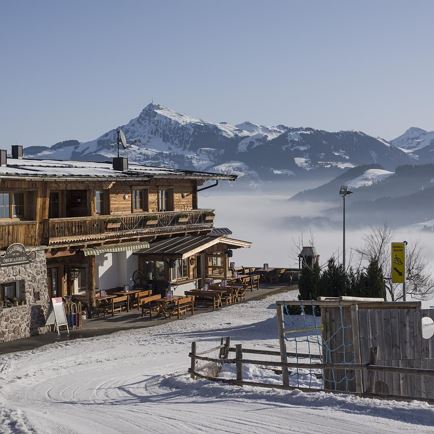
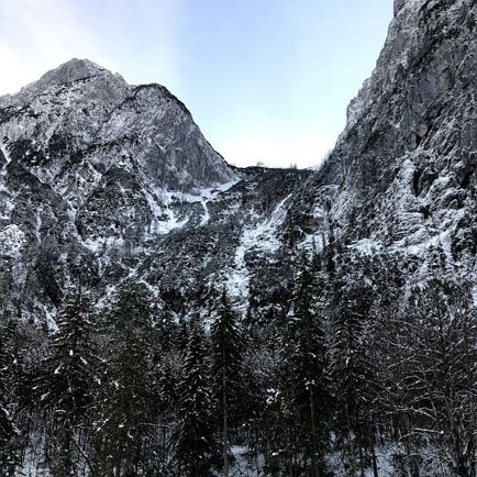
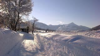
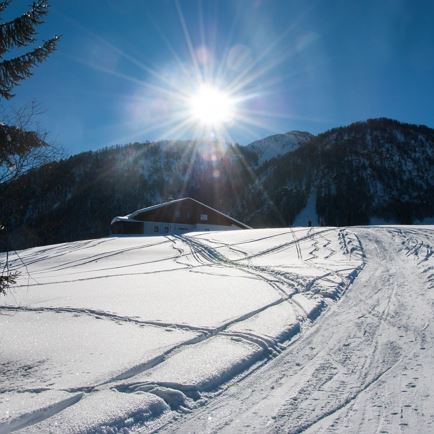
This hike starts at Kramerhof in Gasteig. Walk to the back of the stables and head through the meadows towards the Kaiser mountains. After reaching a little knoll the trail wind its way through a glittering and pristine forest to a small plateau. Occasionally you’ll be able to catch a glimpse of the Wilder Kaiser, the Loferer Steinberge or the front of Niederkaiserkamm range. The trail down enjoys a southern exposure and offers some nice and sunny spots to relax. 
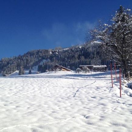
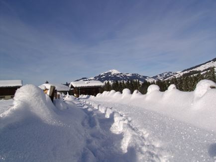
The route for this snowshoe hike is laid out and controlled by the Kirchdorf Avalanche Commission. For your own safety, always stay on the path marked by signs and poles.
Do NOT enter if the route is closed off!

Read more

Info

Federboden

Features

  • check medium difficulty / red mountain path
  • check
  • Snow-covered hiking and forest trails, as well as meadows
  • Snowshoes and ski touring poles, sturdy pair of shoes with grip sole, clothing suitable for the temperatures in winter (warm, breathable, …), first-aid kit, mobile phone with fully charged battery, hiking map and guide, sun protection (sun cream and glasses, hat), thermos flask with hot tea and food
  • Take national road B176 in the direction of Kössen as far as the hamlet of Gasteig. After the Wilder Käser cheese dairy, keep left to reach the Kramerhof hiking parking lot.
  • Postbus line 4000 Kitzbühel - St. Johann i. T. - Schwendt - Kössen - Reit i. W.

    Bus stop: Gasteig
  • Kramerhof hiking parking lot

Restaurants & infrastructure

Similar