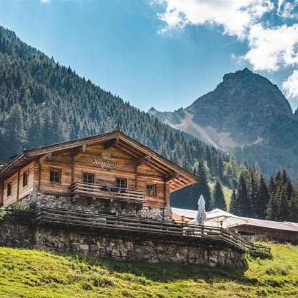
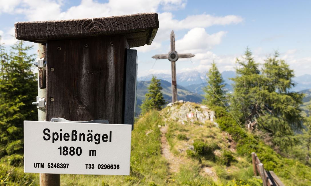
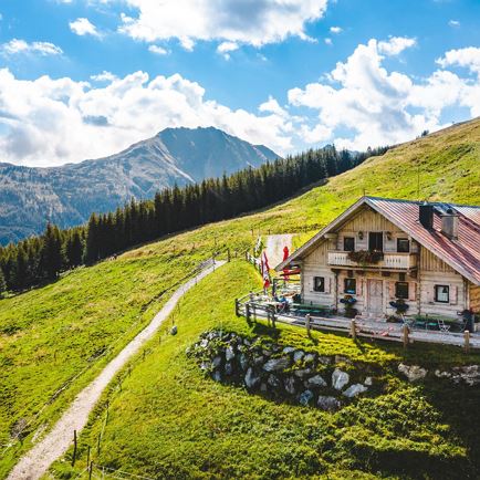
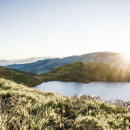
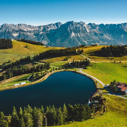
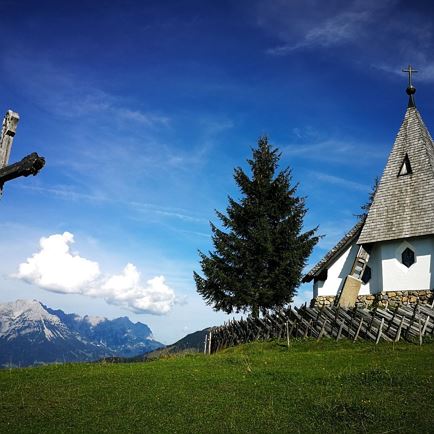
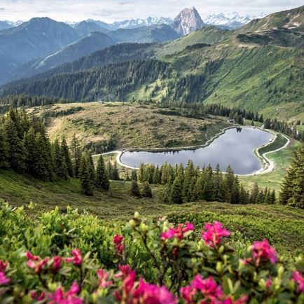
The hike begins in Aschau and leads along the cattle path in the “Oberen Grund”. After crossing the Oberen-Grund-Ache (stream), continue to the Alpine pastures deeper in the mountain valley. Having passed the Grundalm we arrive at the junction for Hirzeggalm / Spießnägel. We branch off to the right and find ourselves on a pleasant, winding route through the forest to the Hirzeggalm. “There, a cheerful dairy-maid awaits us and serves up hearty refreshments to give us strength for the climb to the summit!” laughs Fritz. The summit route is captivating with rhodedendrons, meadow flowers and slopes of Alpine blossoms. We arrive at a plateau at the base of the incline, with an idyllic mountain lake. From this point it’s just a few minutes from the highest point of the Spießnägel where an entry in the summit book is compulsory! The descent takes us southerly along the ridge of the summit to the Hirzegglacke. Just below, there’s a junction and winding track leading downhill to the Hirzeggalm. Passing the cosy Hirzeggalm, the forest road continues to the Sonnwendalm. From here there are two possibilities: the easier option takes us on the forest road to the Kasplatzl and onwards to the Unteren Grund Ache and to our original departure point. The more challenging option takes us from the Sonnwendalm by way of an ascent to the Ebenau car park.
Read more