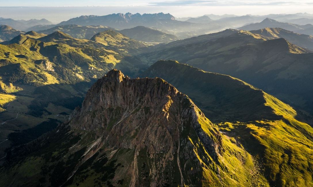
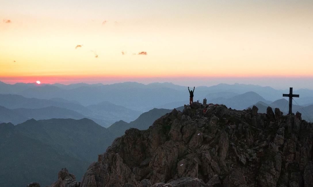
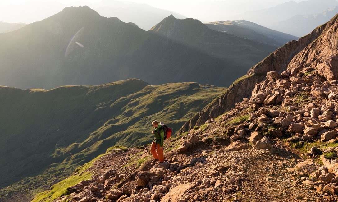
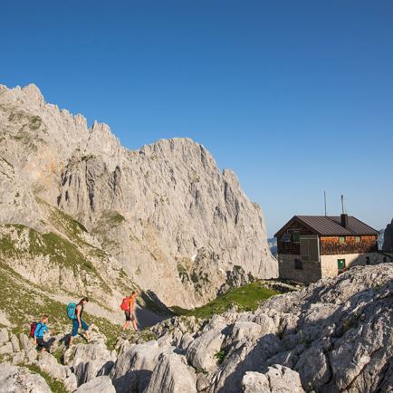
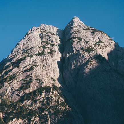
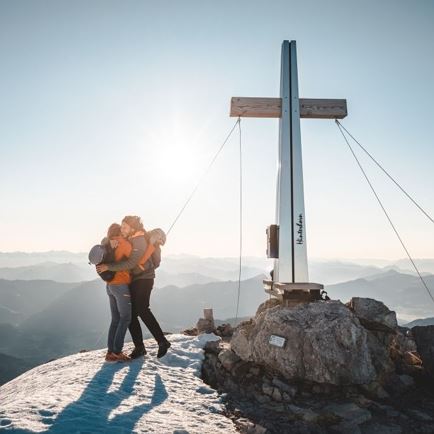
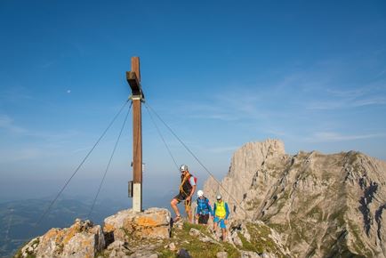
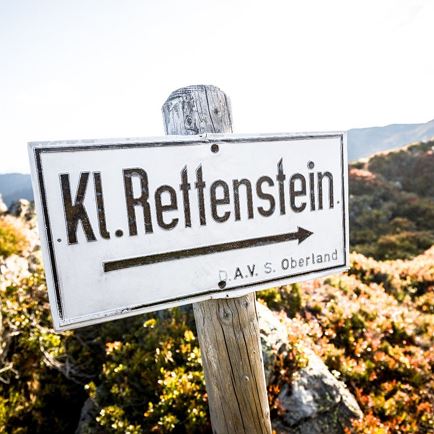
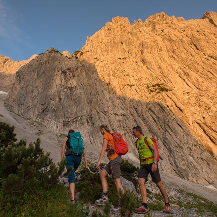
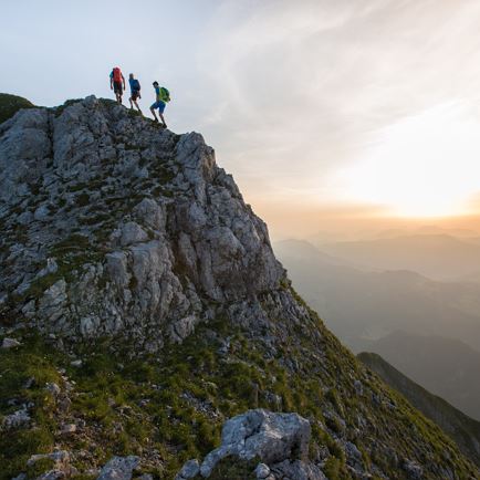
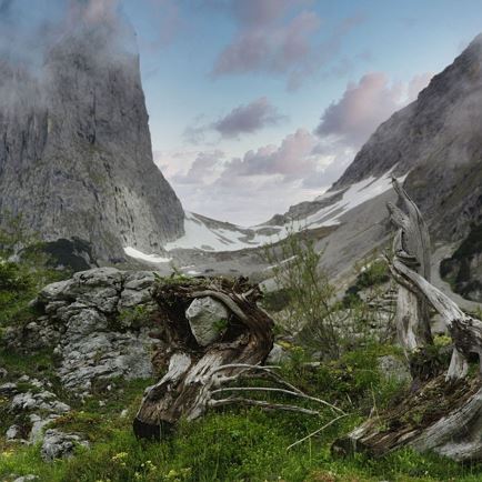
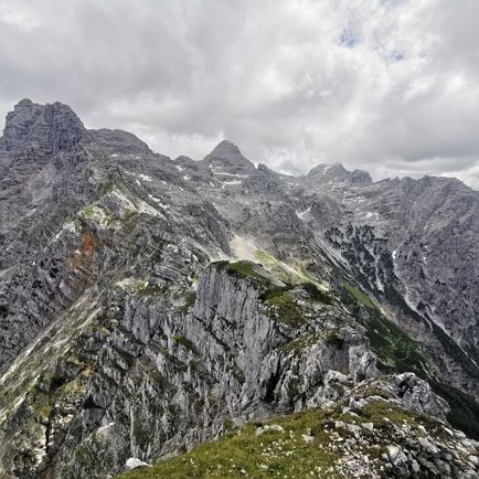
The absolute mountain hike is the Grosser Rettenstein hike. To attempt this tour, it is essential that you are very sure-footed, experienced and have a good head for heights (no dizziness). It is strongly recommended to begin this tour early in the morning. Take the car along the toll road to the “Unteren Grund” as far as the Hintenbachalm. Below these mountain huts, a very steep forest path to the left leads through the forest in the Schöntalgraben as far as the Schöntalalm. Pleasure hikers can walk from the Hintenbachalm via the Sonnwendalm enroute to the Schöntalgraben. To the left of the Schöntalalm, where we can see the Spießnägel’s grass slopes, we continue through the beautiful high valley, passing the Schöntalscherm and ascending to the Schöntal spring. At this point a short rest is recommended to prepare for the summit climb. The abundance of flowers is amazing here. Admire everything from arnica to clematis. If you remain very quiet and still, it is possible to hear the shrill whistles of the marmots settled here. Recharged and strengthened we embark on the winding path before us. The ascent becomes more difficult and in some places you have to cling on to the rocks. Full attention is required by hikers as the risk of falling rocks and stones is very significant. Shortly before arriving at the summit we have to master a narrow, rocky, climbing path. Eventually, having reached the mountain crest at 2,366 m, we can enter our names, with pride, in the Großer Rettenstein summit book. This is one of the highest mountains in the Kitzbühel Alps and leaves everyone with unforgettable memories. The unique panorama (Hohe Tauern, Großglockner, Großvenediger as far as the Zillertal valley) leaves you in an astonished silence. For the descent the same route is recommended.
Read more