Maukspitze

Hiking

favorite_borderfavorite
play_arrowpause
  • HardLevel
  • access_time11:00 hDuration
  • arrow_right_alt18,8 kmDistance
  • terrain2218 mHighest point
  • trending_up1612 mUphill
  • trending_down1607 mDownhill
  • Show map
Maukspitze

Tour information

Follow the trail towards Diebsöfen / Schleierwasserfall. Continue past the waterfall, climb the ladder toward Granderalm and hike on to Ackerlhütte (open on weekends only; beverages ONLY - no food!). The trail winds through pine dwarfs to Niedersessel, the access point to Maukspitze. Climb the rock face by following the red-white-red marks; there are some iron grips at the most difficult parts. At Niedersessel follow another scree trail towards Maukspitze. There is a bit of rock scrambling inolved to reach the meadows of the southeast ridge of Maukspitze but the trail is not very difficult. After a short traverse to the west you reach the summit via a rock chute (easy rock scramble) and some steps on the east ridge. The views from Maukspitze are absolutely stunning!


Read more
Info

Maukspitze

Features

  • check difficult
  • check
  • Narrow alpine trail, exposed and challenging terrain
  • Steady trekking shoesFunctional shirtSnacks and full drink bottlesFully charged mobile phone and chargerFirst aid kitSun protectionCashhelmet
  • Hiking start in the region St. Johann in Tirol (Click here for driving description)
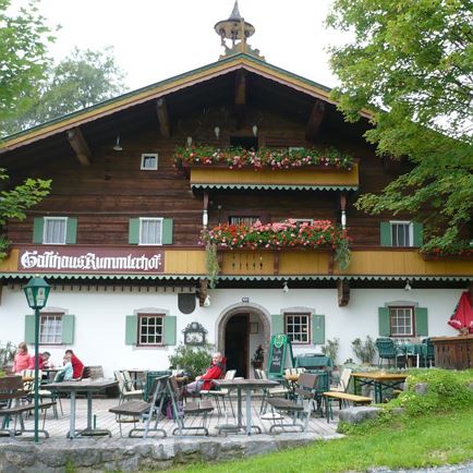
  • Hiking parking lot Rummlerhof

Restaurants & infrastructure

Similar

Kleines Törl

Kleines TörlHard
Kleines Törlaccess_time8:00 harrow_right_alt11,2 kmfavorite_borderfavorite

Lärchegg

LärcheggHard
Lärcheggaccess_time8:30 harrow_right_alt9,3 kmfavorite_borderfavorite

Ellmauer Tor

Ellmauer TorHard
Ellmauer Toraccess_time6:00 harrow_right_alt7,8 kmfavorite_borderfavorite