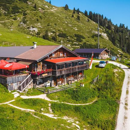
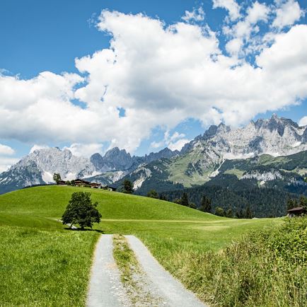
We cover the first few metres in altitude comfortably on the Gaisberg lift. Once at the mountain station, we follow the mountain path to the Gaisbger. There are just enough steps on the flat before the path begins to climb relentlessly. When we reach the Bärstättalm, we keep to the right and take the mountain hiking trail to the Bärstättkreuz, the path winds its way up between fields of mountain pines, a short rest at the Bärstättkreuz before we tackle the last few metres in altitude. Once we reach the ridge, we are spoilt by an unforgettable panorama, a panoramic view that is worth stopping to enjoy the beautiful mountain world. We run along the ridge in hilly terrain over the Gaisberg, moments that make every runner's heart beat faster. Once we reach the Gaisberg Joch, we are once again in front of a summit cross. From there, the mountain trail leads us steeply down to the Harlaßanger, past the Harlaßanger pilgrimage church, which invites us to pause for a moment. Once we reach the Kobingerhütte, we turn left towards the Bärstättalm, which we passed on the ascent, and from here we take the same route back to the Gaisberg lift.
Read more