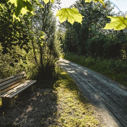
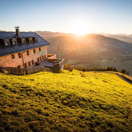
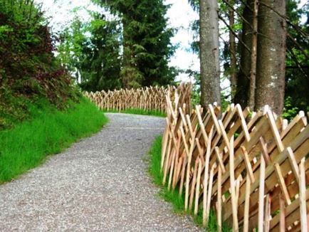
Letzte Sonnenstrahlen

Kleiner Rettenstein

"Small, but mighty!"

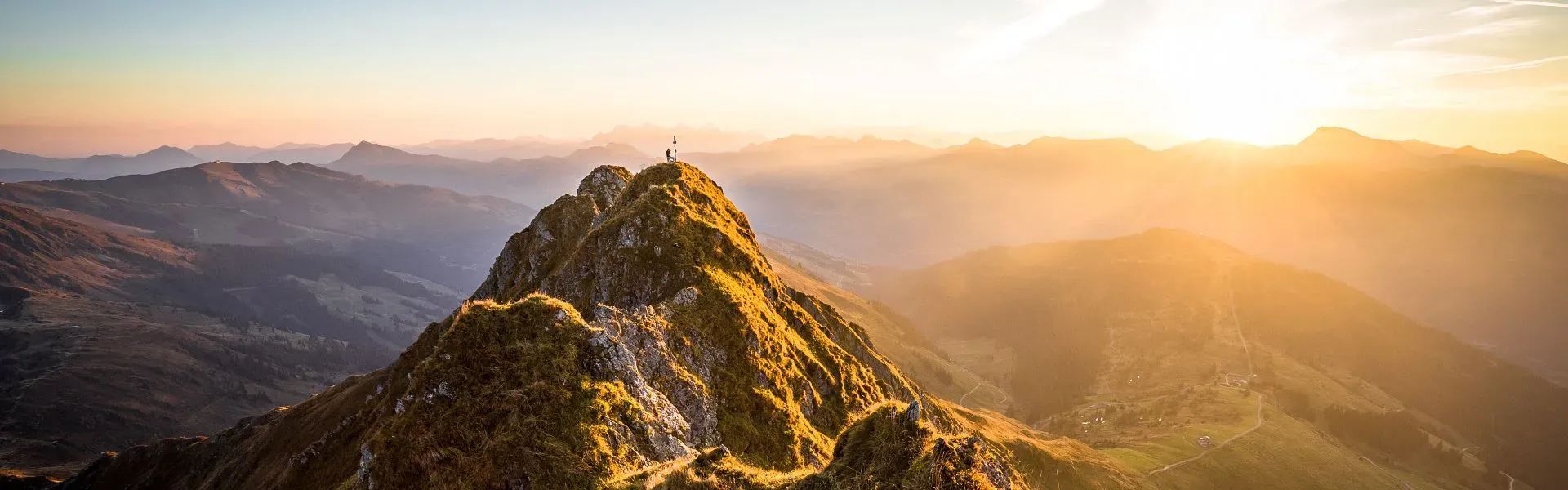
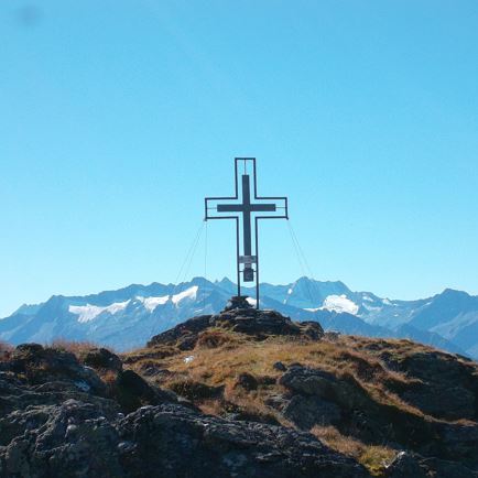
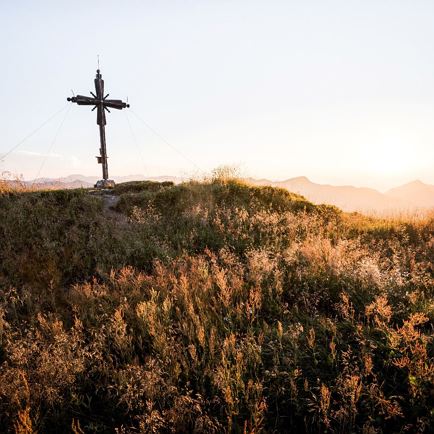
Kleiner Rettenstein with its 2,216 m may be smaller than Grosser Rettenstein, but in no way easier to get to. In order to reach the summit, you need surefootedness and a head for heights.

play_arrow

Kleiner Rettenstein

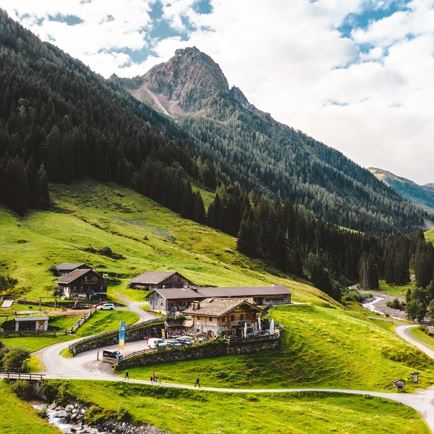
From Oberlandhütte Lodge in Aschau, the route goes along a forest road into the valley.

Data & Facts

  • checkType: half-day hike

  • checkDuration: 4.5 hours

  • checkDistance: 9.5 km

  • checkHighest point: 2,216 m

  • checkElevation gain uphill: 1,300

  • checkElevation drop downhill: 1,300

  • checkLevel: difficult / black mountain path

  • checkEquipment: good hiking boots, poles, drink

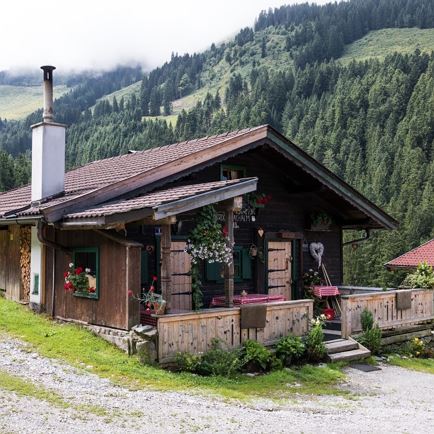
  • checkStarting point: Oberlandhütte in Aschau

Special waypoints:
On the last section you should definitely make a short detour to "Blaue Lacke" Lake.

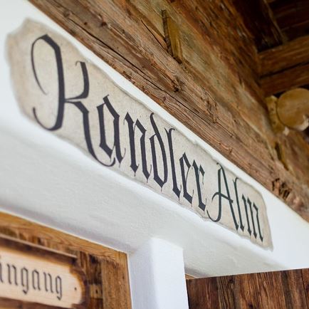
Snack stops: Klooalm, Oberlandhütte

Kleiner Rettenstein

  • HardLevel
  • access_time6:30 hDuration
  • arrow_right_alt19,0 kmDistance
  • terrain2216 mHighest point
  • trending_up1359 mUphill
  • trending_down1359 mDownhill
  • Details
  • Sign Kleiner Rettenstein
    These directions show the destination Kleiner Rettenstein.
  • Hiking paradise Kitzbühel Alps
    The Kitzbühel Alps are a paradise for hiking fans. All possible hiking trails can be found. This hiking trail leads up to Kleiner Rettenstein.
  • Goats on Kleiner Rettenstein
    The perfect location for goats: On the rocky slopes of Kleiner Rettenstein.

Interactive map

Plan your tour to the Kleiner Rettenstein with our interactive map. In addition to the specific data and facts about the tour, you will find further, specific route information, an altitude profile of the tour and GPS data to download. Directions as a PDF are also waiting for you.

More

Further tour suggestions

Kröndlhorn

KröndlhornMedium
Kröndlhornaccess_time7:00 harrow_right_alt13,5 kmfavorite_borderfavorite

Gassnerkogel

GassnerkogelMedium
Gassnerkogelaccess_time3:00 harrow_right_alt7,1 kmfavorite_borderfavorite

Rotwandalm

RotwandalmMedium
Rotwandalmaccess_time3:30 harrow_right_alt6,0 kmfavorite_borderfavorite

Fleiding

FleidingMedium
Fleidingaccess_time1:15 harrow_right_alt3,3 kmfavorite_borderfavorite

Gampenkogel

GampenkogelMedium
Gampenkogelaccess_time2:45 harrow_right_alt6,9 kmfavorite_borderfavorite

Wappenweg

WappenwegMedium
Wappenwegaccess_time6:00 harrow_right_alt15,5 kmfavorite_borderfavorite

Gamsbeil

GamsbeilMedium
Gamsbeilaccess_time5:45 harrow_right_alt6,5 kmfavorite_borderfavorite

The Wiegalm

The WiegalmMedium
The Wiegalmaccess_time4:45 harrow_right_alt10,5 kmfavorite_borderfavorite

Lodron

LodronMedium
Lodronaccess_time8:30 harrow_right_alt20,0 kmfavorite_borderfavorite

Labalm

LabalmEasy
Labalmaccess_time2:50 harrow_right_alt9,0 kmfavorite_borderfavorite

Wohlfühlweg

WohlfühlwegEasy
Wohlfühlwegaccess_time1:30 harrow_right_alt3,6 kmfavorite_borderfavorite