"Waterfall Runningtrail" Runningtrail 4

Running

favorite_borderfavorite
play_arrowpause
  • MediumLevel
  • access_time3:30 hDuration
  • arrow_right_alt18,4 kmDistance
  • terrain1474 mHighest point
  • trending_up1100 mUphill
  • trending_down1100 mDownhill
  • Show map
IMG_9507.JPG

Tour information

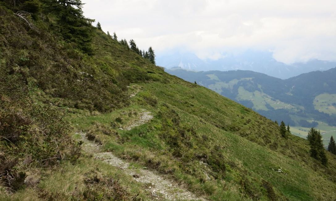
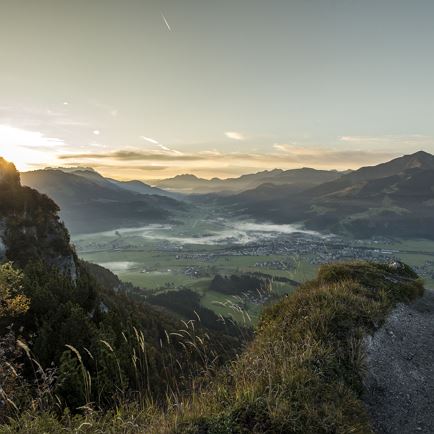
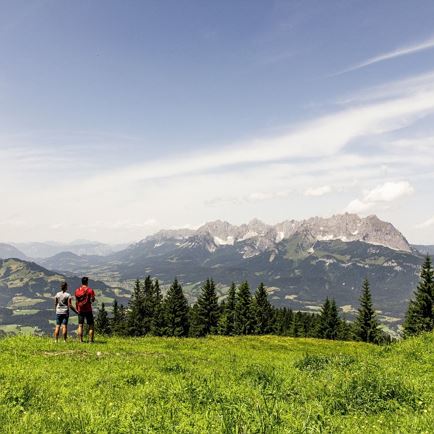
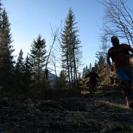
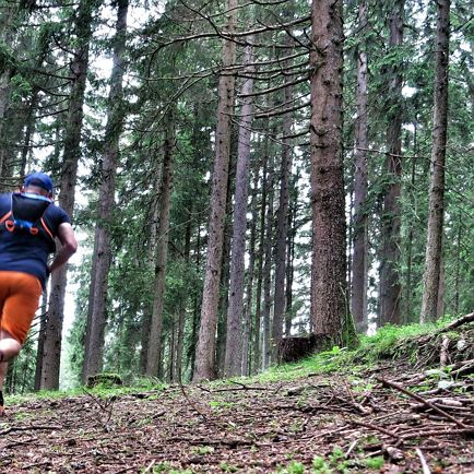
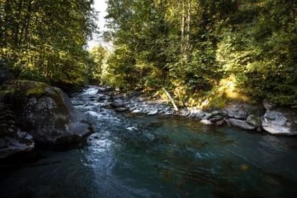
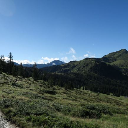
Half-way up the mountain the waterfall runningtrail takes us in a southerly direction and then into the Windau valley.  On varied runningtrails, through forests and alongside meadows the ascent is somewhat steep just at the beginning followed by a pleasant ascent as far as the ski area from where the extremely popular waterfall runningtrail leads back in the direction of Westendorf.  A very nice downhill concludes the runningtrail.
 

Read more

Info

"Waterfall Runningtrail" Runningtrail 4

Features

  • check medium difficulty level
  • Trail Running Schuhe, Rucksack, Notfallset

Restaurants & infrastructure

Similar