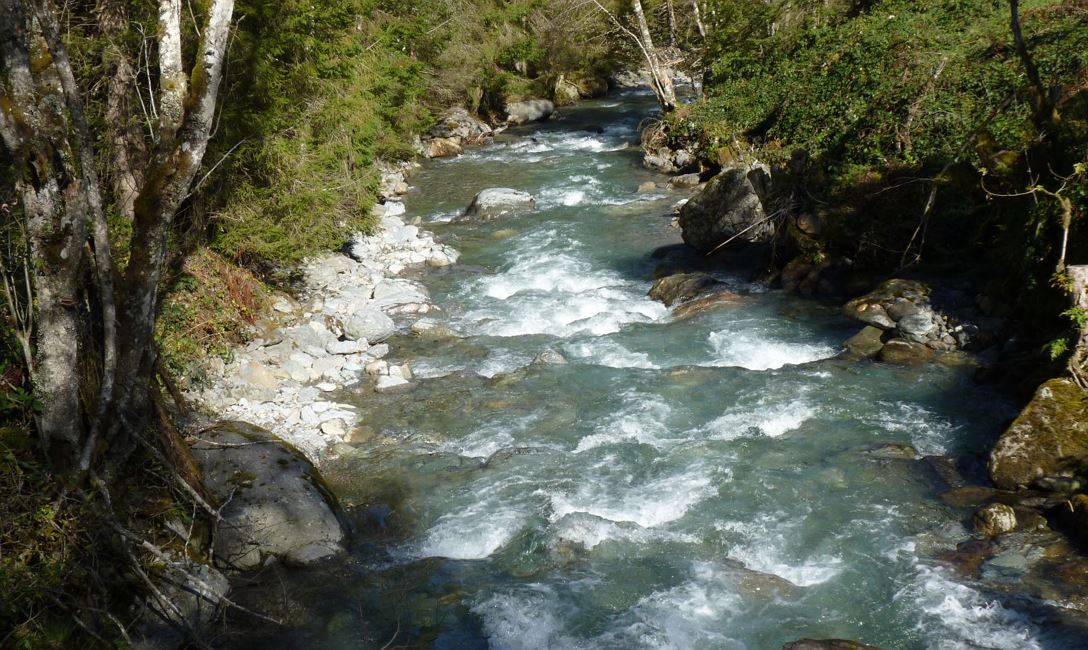
Starting from the village centre, walk along the Dorfstraße in the direction of Holzham, following the signposts for “Daxlhöfe”. Once on the Oberwindau road, walk in the direction of the “Gassnerwirt” & “Schrandlhof” mountain restaurants. Shortly before the “Schrandlhof” at the “Schernthrein” farm, branch off to the right, downhill towards the “Windautal”. The asphalt road converts into a tractor trail at a farm along the route. The trail ultimately joins the Windautal road in the valley. Turning to the left, follow the road as far as the “Jägerhäusl Inn”. After the inn, turn to the right after crossing a bridge, onto a cycling route. This route takes us along the Windau Ache (stream) until we arrive at the “Lendwirt Inn” where we follow the uphill road to the right leading us back into the centre of Westendorf.
Read more