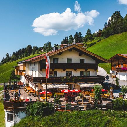
This recommended route begins at the mountain inn “Schrandlhof” in the Oberwindau, Westendorf. Shortly after the inn there is a larger parking bay. If you would like to park at the inn, please ask for permission to do so.
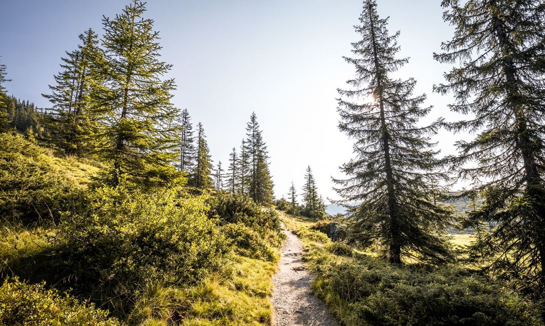
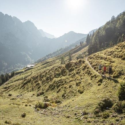
First we walk along the forest road, which is also signposted with the MTB route 209, following some gentle serpentine bends uphill. We can remain on this forest trail until just below the Windaubergalm, or we can branch off to the left at a sharp right-hand bend (look out for signposts) and subsequently ascend along a mountain trail to the Windaubergalm. Then walk a short distance downhill in order to find the hiking trail to the Schledernalm.
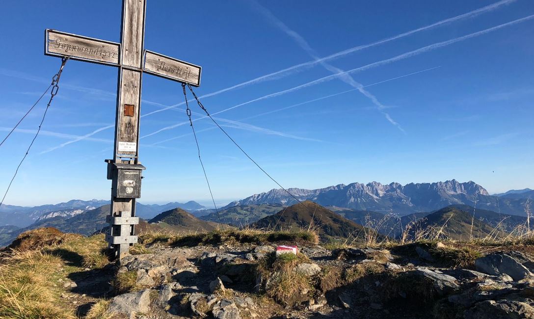
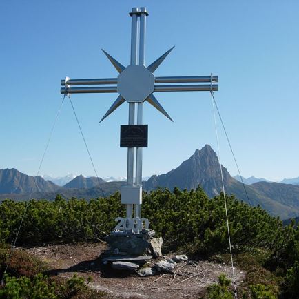
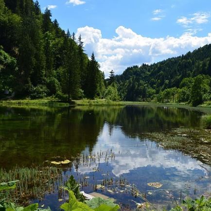
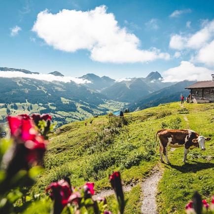
This trail leads through a variety of woodlands and Alpine meadows to the Schledernalm. From the mountain pastures we hike along the forest path to the Brandeggalm and further on on our left-hand side to the Feldbergalm. From here on we follow a beautiful Alpine / mountain trail to summit of the Brechhorn!
The descent is either the same route or alternatively there are a number of options:
• Initially begin the descent along the same route, but instead of going in the direction of the Feldbergalm, follow the route to the Brechhornhaus (comfortable rest stop). Then follow the forest road first to the Fleidingalm, then onwards to the Schrandlhof.
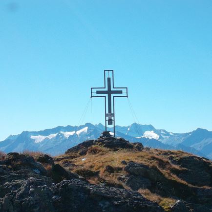
• From the summit cross follow the ridge in a southerly direction (note - short climbing passage). In the ensuing valley there are 2 options:
a) from this valley follow the signs downhill to the Brandeggalm or
b) from this valley continue in a slight ascent in the direction of Floch, then before the ascent to this summit a trail leads to the Miesfankalm (pay attention to the signs!) From these mountain pastures follow the forest path down to the Schönaualm. At the Schönaualm, continue in a northerly direction along the forest track, steadily downhill, until you finally reach the Gasthof Schrandlhof once more.
Read more