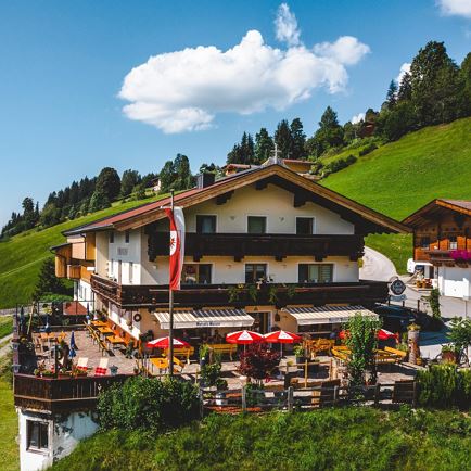
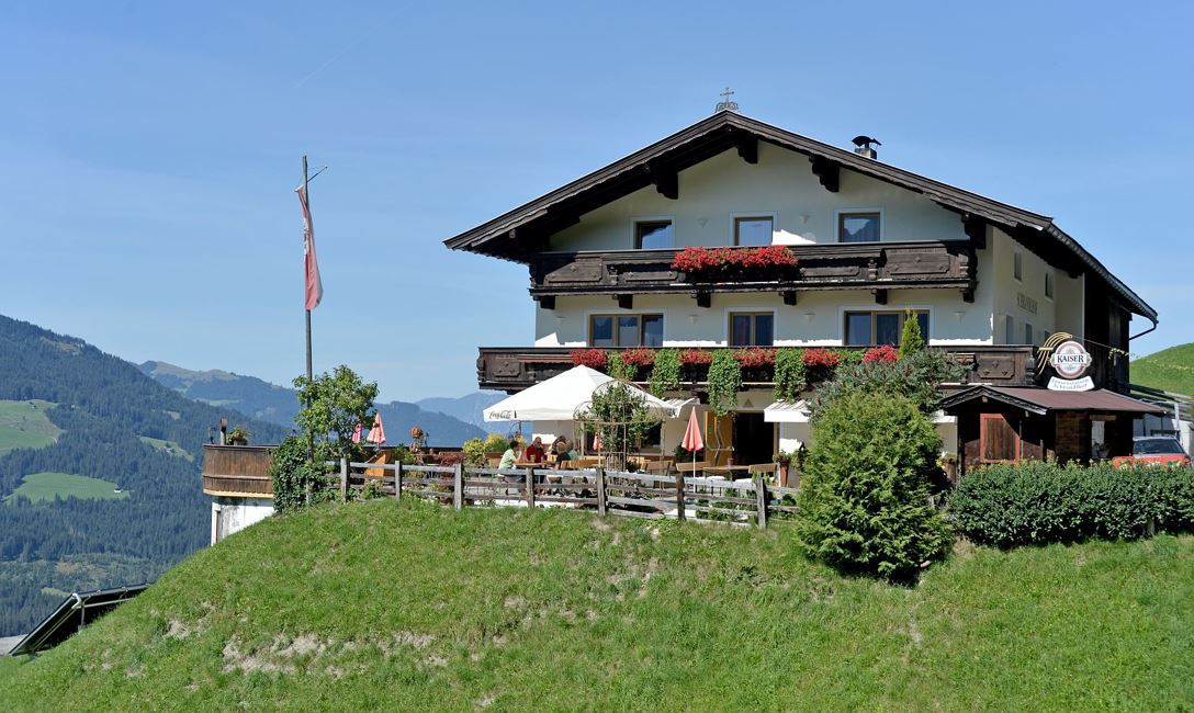
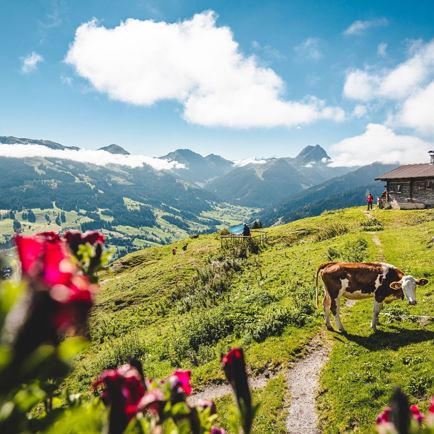
We have chosen the Schrandlhof mountain restaurant, in the Oberwindau / Westendorf, as our starting point for this suggested route.
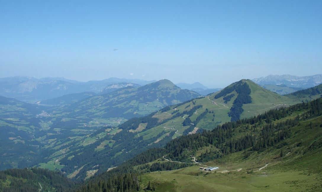
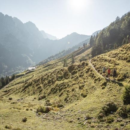
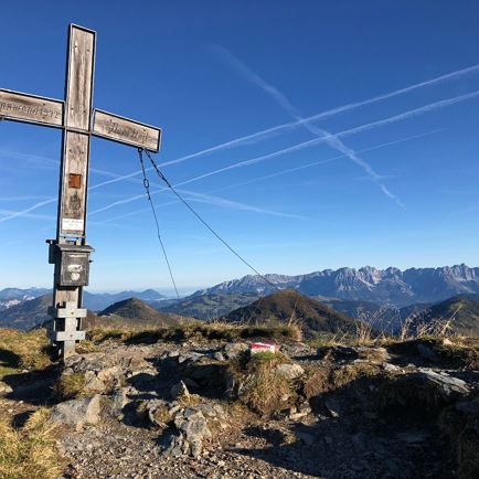
At first, we follow the continuously increasing Alpine road. In a sharp left bend, we turn to the right (actually we continue straight-ahead) and follow this Alpine road to the “Schönau” mountain farm. After the farm buildings, we turn left onto the mountain track to the higher Alp “Miesfank”. Now the track meanders a bit steeper uphill. From the “Miesfank”, we hike along an Alpine trail deep into a beautiful basin. Having arrived at a ridge, we walk a short distance to the right, uphill, through a sparse pine forest and after a few minutes reach the Gassnerkogel with its magnificent summit cross.
(If you continue to the left on a steep climb along this ridge, you will reach the mountain summit “Floch”)
For the descent you can, of course, choose the same route. Or alternatively:
• Continue the ascent to the left to the "Floch" - then follow the trail towards "Miesfank".
• Continue the ascent to the left to the "Floch" – then onwards to the "Brechhorn" mountain summit and then descend via the Brechhornhaus - Fleidingalm - Schrandlhof, or descend via Feldbergalm - Schledernalm- Windaubergalm - Schrandlhof
• further ascent via the Hinterkarscharte to the Gerstinger Joch
Read more