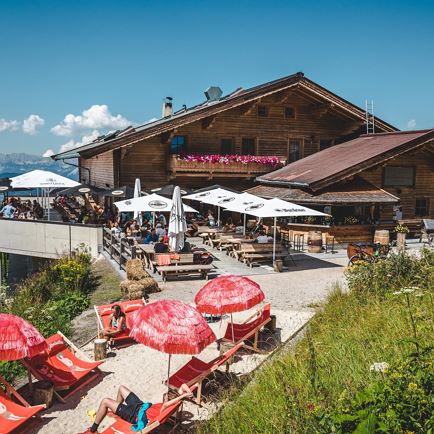
Mountain restaurant PengelsteinMountain restaurant PengelsteinOpen todayKitzbühelfavorite_borderfavorite
Alpinolino Holzwurmweg (The woodworm tour) !MediumAlpinolino Holzwurmweg (The woodworm tour) !access_time1:30 harrow_right_alt3,7 kmfavorite_borderfavorite
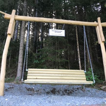
Hängebank HislegseeMediumHängebank Hislegseeaccess_time1:50 harrow_right_alt5,1 kmfavorite_borderfavorite
Hängebank AchenbergMediumHängebank Achenbergaccess_time1:40 harrow_right_alt5,3 kmfavorite_borderfavorite
Hängebank ZintingMediumHängebank Zintingaccess_time2:30 harrow_right_alt5,3 kmfavorite_borderfavorite
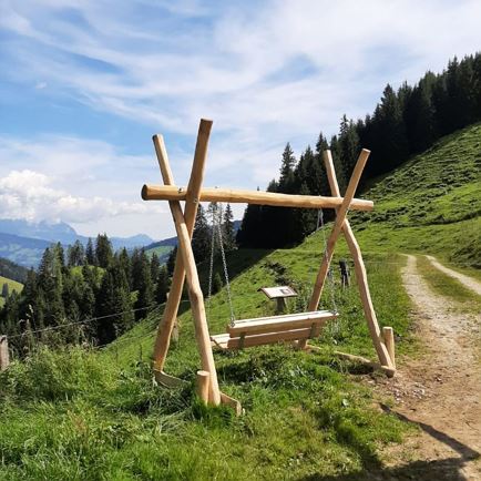
Hängebank SpeckalmMediumHängebank Speckalmaccess_time2:40 harrow_right_alt7,0 kmfavorite_borderfavorite
Hängebank SonnwendalmMediumHängebank Sonnwendalmaccess_time3:15 harrow_right_alt7,0 kmfavorite_borderfavorite
From Griesner Alm to StripsenkopfMediumFrom Griesner Alm to Stripsenkopfaccess_time5:15 harrow_right_alt7,4 kmfavorite_borderfavorite
Hängebank Rastplatz LehrpfadMediumHängebank Rastplatz Lehrpfadaccess_time2:50 harrow_right_alt7,8 kmfavorite_borderfavorite
Hängebank Rastplatz LehrpfadMediumHängebank Rastplatz Lehrpfadaccess_time2:50 harrow_right_alt7,8 kmfavorite_borderfavorite
Hängebank ZinsbergMediumHängebank Zinsbergaccess_time3:15 harrow_right_alt9,0 kmfavorite_borderfavorite