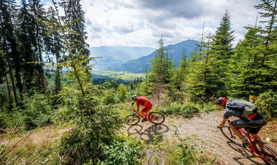
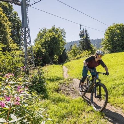
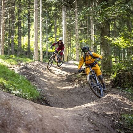
The start of the Suntrail is located at around 1,340 m above sea level on the Gsengweg. In the upper section, the trail winds through a forest, which thins out in the middle and then transitions into alpine pastureland. On the fluid, springy trail, you quickly find a successful rhythm between rollers and berms. After crossing the Raggingbach, the trail continues downhill over rollers, tables, and banked turns along the stream. The trail ends near the power station east of Brixen.
The trail can be reached via Brixen on bike route 265 to Berggasthof Nieding and then via route 299. Or via route 288. The first 500 meters of elevation can be covered more comfortably with the mountain railway from Hochbrixen. From here, ride down to Berggasthof Nieding and then a leisurely 200 meters of elevation uphill (route 299) to the start of the Suntrail.
Difficulty level S0 - S1 (easy)
Read more