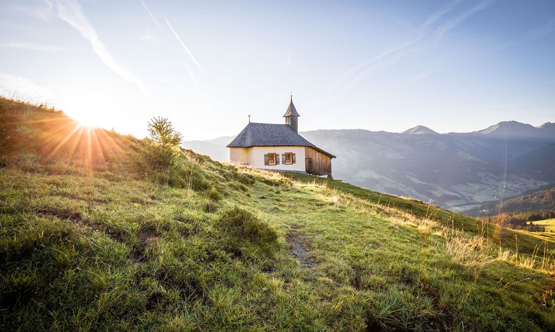
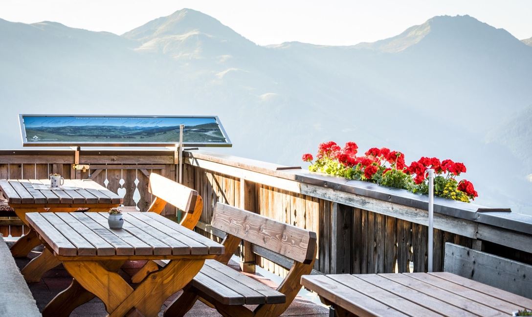
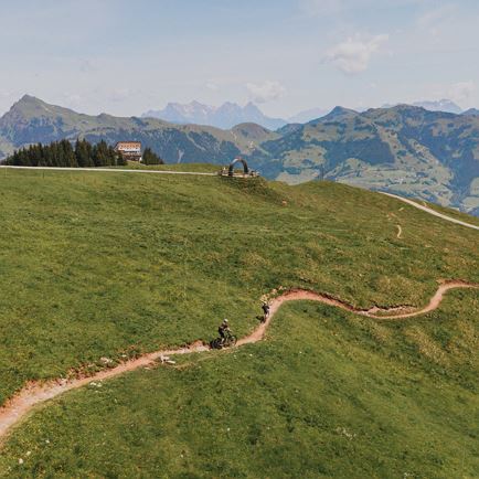
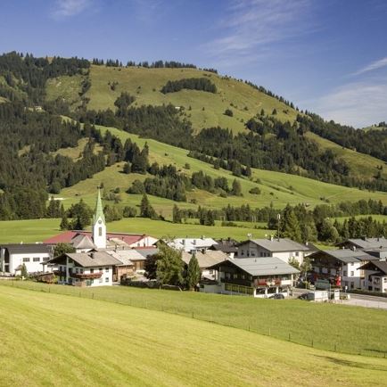
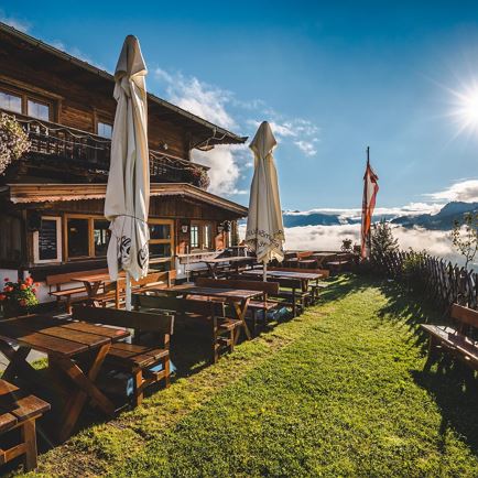
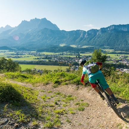
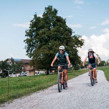
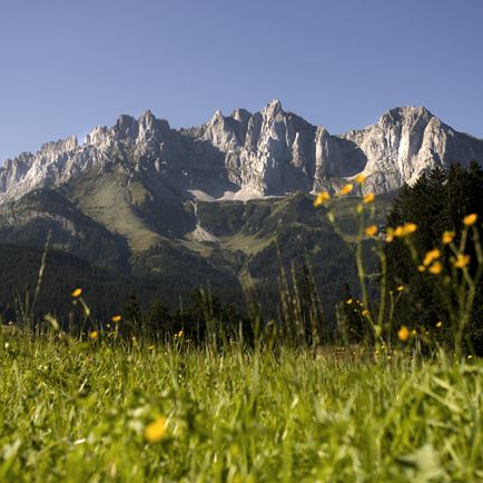
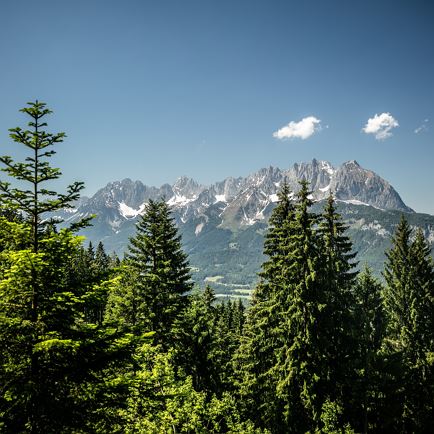
The starting point is at the valley station of the Gaisberglift in Kirchberg. From there, we cycle leisurely along the Ache river to the district of Obwiesen, where we turn right towards Kleinseite. From here, the route climbs immediately, initially on an asphalted road, which soon turns into a gravel path. The route leads through the forest via several serpentines. The forest thins out and you pass a junction where you could take a detour to the Bärstättalm. Otherwise, we continue straight ahead; the path becomes somewhat flatter as it passes several alpine pastures before climbing once more shortly before the destination. Once at the top, a fantastic view awaits us, stretching as far as Aschau to the Großer Rettenstein and over the whole of Kirchberg.
There are several options for the descent:
- return via the same path
- Route 276 to the district of Skirast
- descent via the Wiegalmtrail
- continue the ride to the Wiegalm and cycle downhill towards Brixenbachalm and back to Kirchberg via the valley cycle path from Brixen
Read more