Gipfelkreuz Spießnägel

Spießnägel

Unspoilt nature, the romantic Hirzegglacke and an adundance of blooming, floral beauty

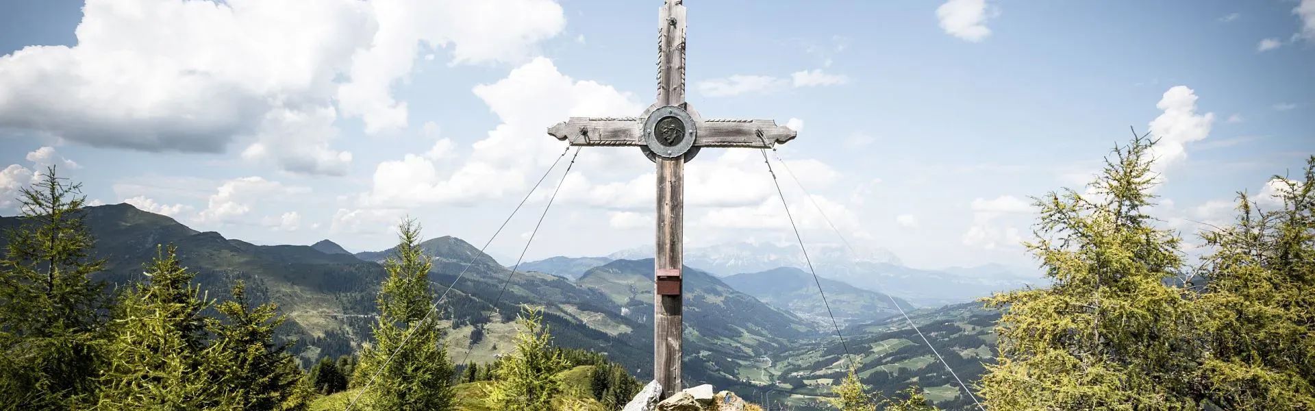
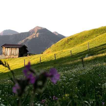
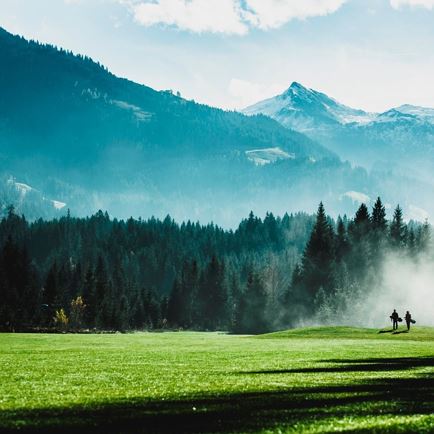
On this moderately difficult hike, which takes you along sections of gravel path, hiking trails and alpine tracks, you can truly recharge your batteries and enjoy an untouched natural landscape. The locals call Spießnägel the "blooming mountain".
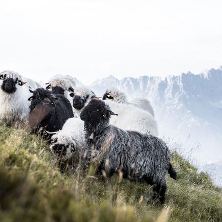
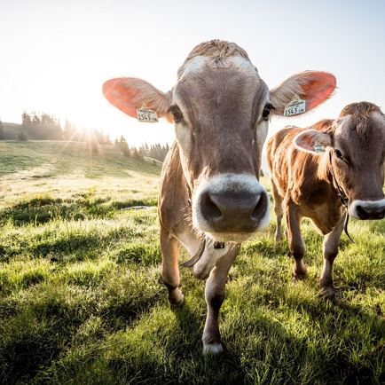
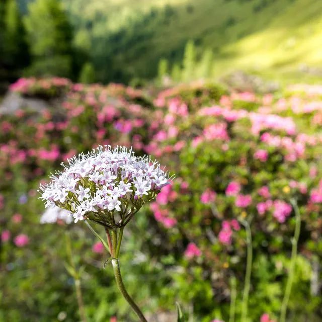
If you love alpine flowers and untouched nature, then a hike to Spießnägel is simply a must.

play_arrow

Spießnägel in Kirchberg in Tirol

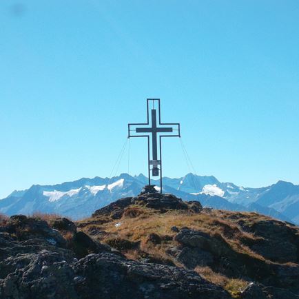
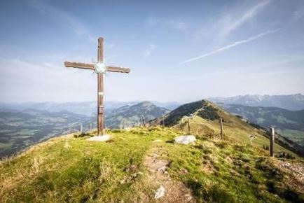
The Spießnägel is one of the most impressive mountains in Kirchberg and a must-experience for visitors on a hiking holiday.

Details

  • checkType: Half-day hike

  • checkDuration: 3 hours

  • check Distance: 7.1 km

  • checkHighest point: 1,880 m

  • checkElevation gain: 832 m

  • checkElevation loss: 832 m

  • checkLevel: Moderate/Red

  • checkEquipment: Sturdy hiking boots, provisions, weather-appropriate clothing

  • checkStarting point: Aschau im Spertental

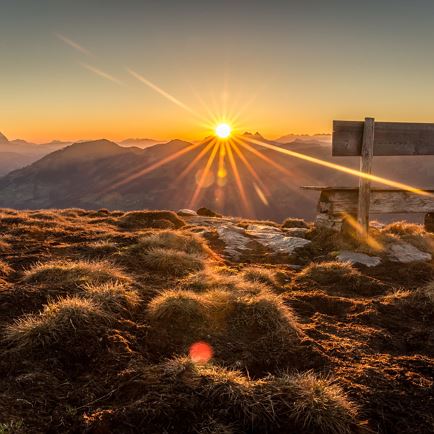
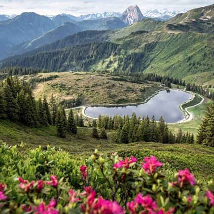
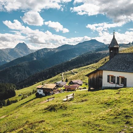
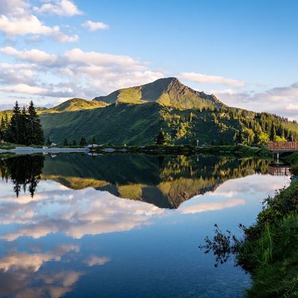
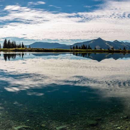
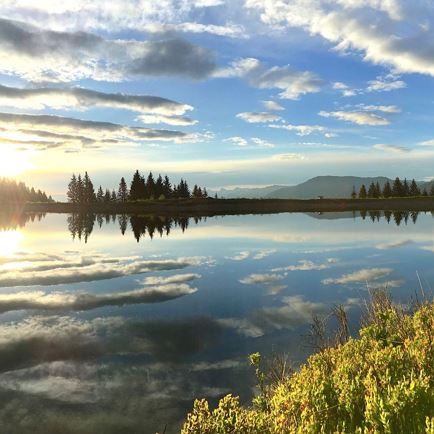
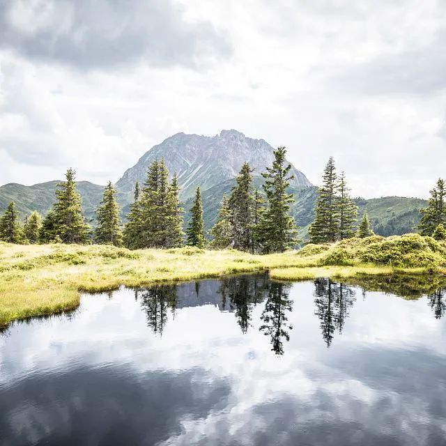
Special waypoints: The hike along the spectacular ridge path to Hirzegglacke on the way to the summit is very romantic. Along the trail you can see the magnificent Grosser Rettenstein reflected in the mountain lake. There is also unique and beautiful flora on the path to the Spießnägel and at the summit, as well as stunning views that will leave an indelible impression on you.

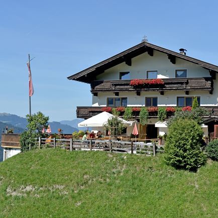
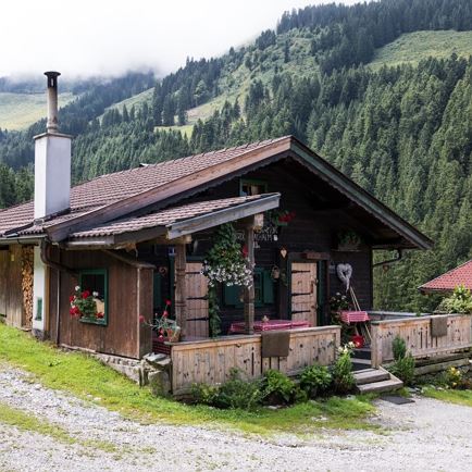
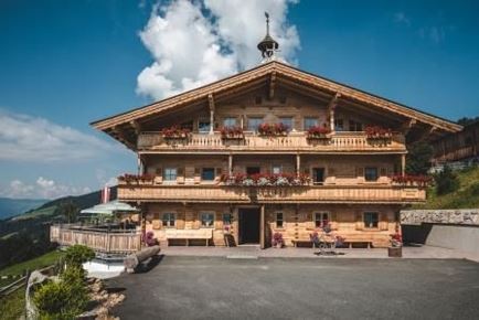
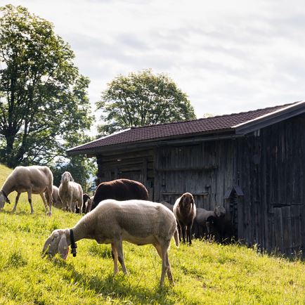
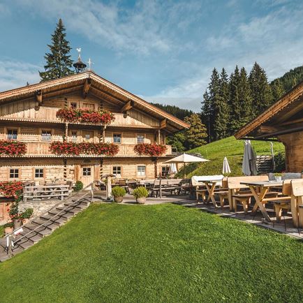
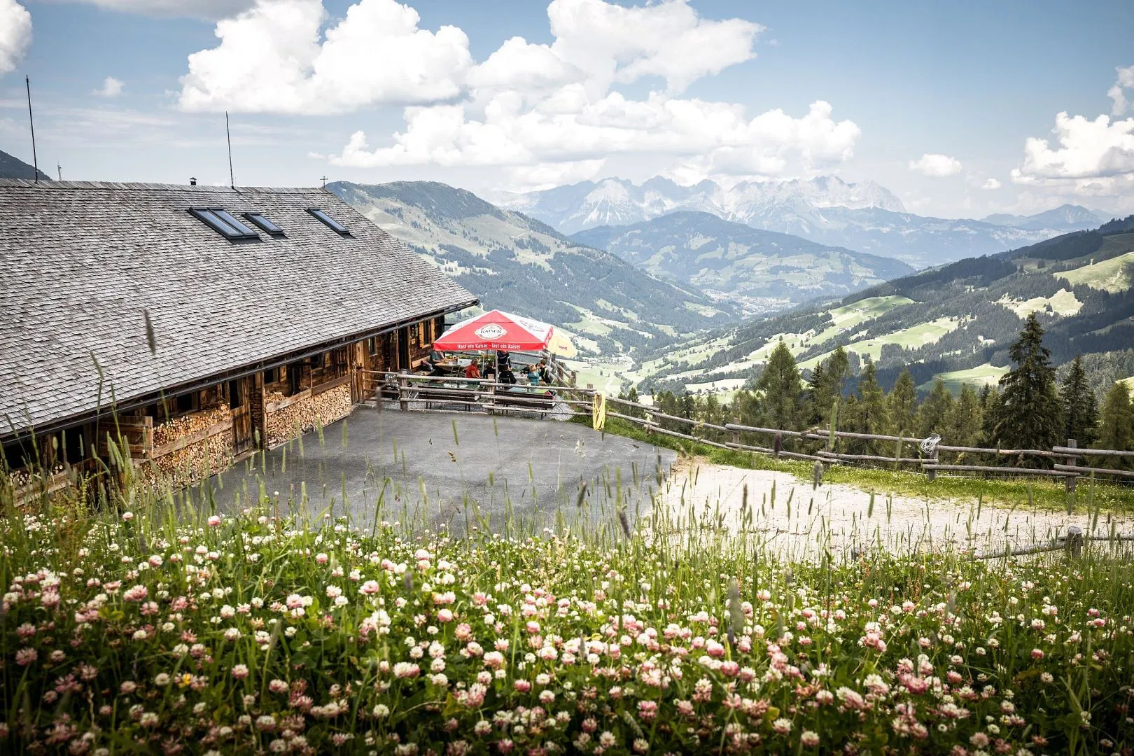
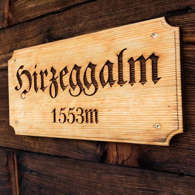
Refreshment stops: You can recharge you batteries at either the Oberlandhütte or Hirzeggalm (at the start or end of the hike), at the Kasplatzl (if you descend via Unterer Grund) or at the Klooalm in the Oberer Grund in Aschau (approx. 30 minutes further on foot in the Oberer Grund from the turnoff to the Hirzeggalm).

  • Spießnägel summit cross
    From the summit you can enjoy stunning views of the entire region.
  • Grosser Rettenstein reflection
    The mountains of the Kitzbüheler Alpen are reflected in the mountain lakes, as here with the Grosser Rettenstein.
  • Lunchtime
    You can stop for a bite to eat at the Hirzeggalm, which serves a variety of regional dishes.
  • Take a break
    You should definitely take a break at one of the many alpine huts and enjoy the view.
  • Spießnägel 1,880m
    The Spießnägel summit is located at 1,880 m above sea level.
  • Rustic alpine hut
    When hiking in the Kitzbüheler Alpen you'll always come across rustic mountain huts.
  • Hirzeggalm
    The Hirzeggalm mountain hut lies at 1,553m above sea level and is located in Kirchberg in Tirol.

Soothing start to the hike

Soothing start to the hike
The Spertental Valley in Aschau near Kirchberg is one of the most important natural recreation areas in the region and has been declared a protected landscape. The valley, which also holds the source of Kirchberger Ache river (flows into Lake Chiemsee) begins directly at the geographical centre of the Kitzbühel Alps.
The Spießnägel lies in one of the grassy ridges in front of the Grosser Rettenstein in the Kitzbühel Alps. These are often taken on a descent of a hike to the Rettenstein. But even without visiting the Rettenstein, the Spießnägel itself is a worthy hiking destination. The hike starts at the Kneipp pools in Aschau near Kirchberg. Naturally, briefly cooling your arms and feet in the treatment pools presents the perfect opportunity to get the circulation going before the hike. But don't forget to start the hike!

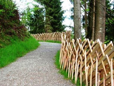
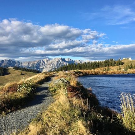
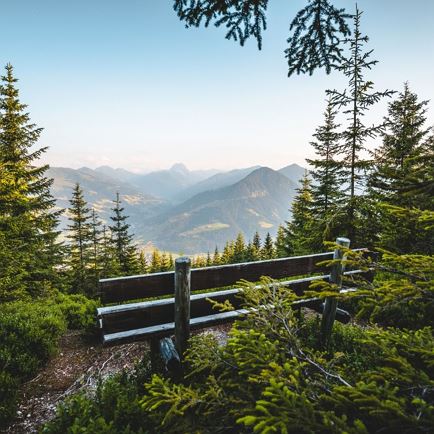
From the Kneipp pools you walk along the Oberer Grund. The walk through the Oberer Grund takes just under half an hour. Shortly after reaching a pasture gate, the signposted path branches off to the right in the direction of Hirzeggalm and the Spießnägel (yellow signpost). Here you'll leave the wide forest path by turning right and following the narrow, picturesque path through dense forest in a series of twists and turns uphill. Every now and then you'll pass a clearing where you can look in an easterly direction over the Oberer Grund and marvel at the beauty of the Schwarzkogel mountain.

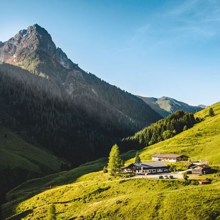
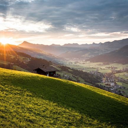
After a good hour, you'll reach a wide forest path into which you'll turn sharply right. Now follow the route out of the forest with only a moderate incline. A good ten minutes later you'll come to the Hirzeggalm, which is located just below the forest path. From here, you'll have a wonderful view over the mountain hut and the Spertental Valley, stretching all the way to the Wilder Kaiser.
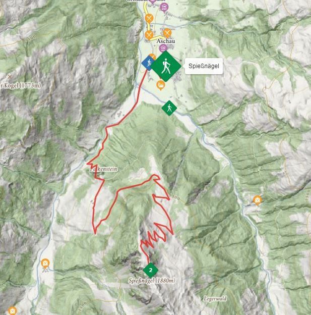
Cosy alpine refreshment stop with a stunning view

Hirzeggalm
At the Hirzeggalm the happy dairymaid awaits you. During a short break with a glass of milk and a hearty snack to recharge your batteries for the last stage of the summit climb, you can peacefully savour the breathtaking view of the Spertental Valley. Despite the idyllic relaxation, don't forget to complete the hike to the summit! From the Hirzeggalm, you'll hike along a forest path that leads to the Hintenbachalm in the Unterer Grund. Continue along this path until after a short time you come to a small hunting lodge. Just before it, branch off to the right and follow the twists and turns in the trail towards the summit. Now well marked, it was once a path to drive cattle to the pastures on the higher, small plateau. As you walk, you'll gradually be able to see the Spießnägel summit. You'll now also have fantastic views of the Oberer and Unterer Grund and the majestic Grosser Rettenstein peak.

Blooming beauty and romantic places on the way to the summit

Flora and fauna in Brixental Valley
The ascent to the Spießnägel summit is without doubt one of the most beautiful hikes.
After the hunting lodge, you'll reach a plateau with an idyllic moor lake. The summit trail captivates with a variety of alpine roses and blooming alpine meadows and slopes. From the small moor lake, it is only a few minutes' walk to the Spießnägel summit. Simply follow the red and white markings. A narrow path then takes you up a winding path, including some steeper sections, along the grassy eastern flank of the Spießnägel. Eventually you'll reach the wide grassy ridge. Turn left here. Then head south over the grassy ridge towards the summit cross. On your right, you'll have a spectacular view of the imposing, rocky Grosser Rettenstein peak. After a short final climb, and a total of three hours' walk, you'll have reached the Spießnägel summit cross. Must-dos at the summit include entering your name in the summit book and collecting the stamp. The beautiful summit cross was erected several years ago by the young farmers/rural youth group.

The descent

Grosser Rettenstein reflection
From the top of the Spießnägel, head south and descend into a mountain depression. Then from the depression you'll climb short rocky steps secured by an iron chain to reach a grassy plateau. Then hike slowly downhill in an easterly direction to the Oberer Grund (pay attention to the red and white markings!) and follow the right curve to continue south. You'll now cross the grass ridge on its east side and then shortly afterwards reach another ridge. After a brief rise in the trail, follow the now narrowing ridge down towards the romantic Hirzegglacke. Here the magnificent Grosser Rettenstein is reflected in the water. After passing the small lake, turn left (signpost "Hirzeggalm") and descent via the many twists and turns in the trail to the small wooden hut above the Hirzeggalm. From here, the descent is same path as the ascent (through the Oberer Grund).

Alternative: Alternatively, you can also descend from the Hirzeggalm via the forest road to the Sonnwendalm and then to the Kasplatzl Cheese Dairy and along the Unterer Grund, past the waterfall to the starting point of the hike. This route can also be chosen as the ascent route.

Interactive map

Plan your tour to the Spießnägel with our interactive map. In addition to the specific data and facts about the tour, you will find further, specific route information, an altitude profile of the tour and GPS data to download. Directions as a PDF are also waiting for you.

More

More tours

Almrosenweg

AlmrosenwegMedium
Almrosenwegaccess_time6:00 harrow_right_alt15,5 kmfavorite_borderfavorite

Kröndlhorn

KröndlhornMedium
Kröndlhornaccess_time7:00 harrow_right_alt13,5 kmfavorite_borderfavorite

Schwarzkogel

SchwarzkogelMedium
Schwarzkogelaccess_time6:30 harrow_right_alt8,9 kmfavorite_borderfavorite

Gamskogelhütte

GamskogelhütteEasy
Gamskogelhütteaccess_time3:30 harrow_right_alt28,5 kmfavorite_borderfavorite

Rauher Kopf

Rauher KopfMedium
Rauher KopfClosedaccess_time6:00 harrow_right_alt15,0 kmfavorite_borderfavorite

Obwiesen

ObwiesenEasy
Obwiesenaccess_time1:30 harrow_right_alt5,7 kmfavorite_borderfavorite

Silberweg

SilberwegMedium
Silberwegaccess_time5:30 harrow_right_alt15,6 kmfavorite_borderfavorite

Wappenweg

WappenwegMedium
Wappenwegaccess_time6:00 harrow_right_alt15,5 kmfavorite_borderfavorite