Niederkaiser via Maiklsteig and Schleier Waterfall

Hiking

favorite_borderfavorite
play_arrowpause
  • MediumLevel
  • access_time6:00 hDuration
  • arrow_right_alt12,4 kmDistance
  • terrain1370 mHighest point
  • trending_up820 mUphill
  • trending_down816 mDownhill
  • Show map
272-17 FRANZGERDL REG St-Johann _1617.jpg

Tour information

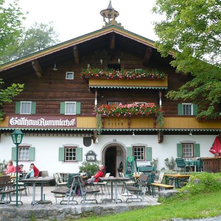
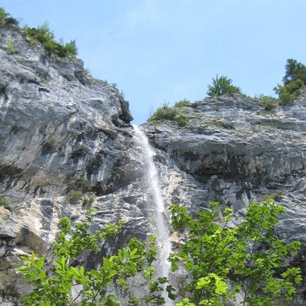
This hike starts in Hinterkaiser, at the hiking trail to Maiklsteig (only for experienced alpine climbers). The trail winds its way up to Niederkaiser and is quite steep in parts. At the rock wall, there are iron rungs and steps up to the ridge. Continue along the ridge to Granderalm. At Granderalm there is an iron ladder down to Schleier Waterfall. Trail No. 818 takes you past the waterfall down to Graspoint Niederalm where you take the trail to St. Johann in Tirol and Moor & more. Continue to Rummlerhof and back to the starting point of this hike.

Read more

Info

Niederkaiser via Maiklsteig and Schleier Waterfall

Features

  • check medium difficulty / red mountain path
  • check
  • Narrow alpine trail, exposed and challenging terrain
  • Steady trekking shoes
    Functional shirt
    Snacks and full drink bottles
    Fully charged mobile phone and charger
    First aid kit
    Sun protection
    Cash
  • Hiking start in the region St. Johann in Tirol (Click here for driving description)
  • Hiking parking lot Rummlerhof

Restaurants & infrastructure

Similar

Sonnjoch

SonnjochMedium
Sonnjochaccess_time5:15 harrow_right_alt12,4 kmfavorite_borderfavorite

Torhelm

TorhelmMedium
Torhelmaccess_time6:30 harrow_right_alt11,9 kmfavorite_borderfavorite