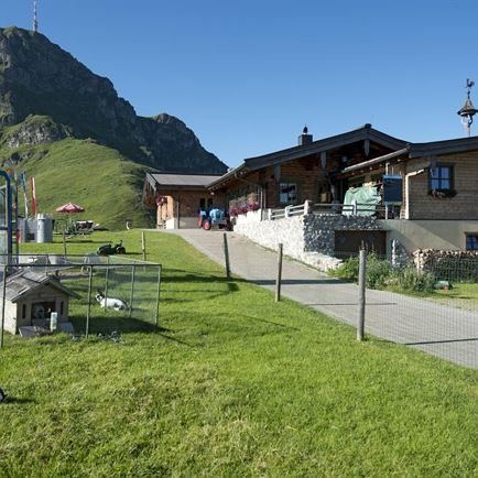
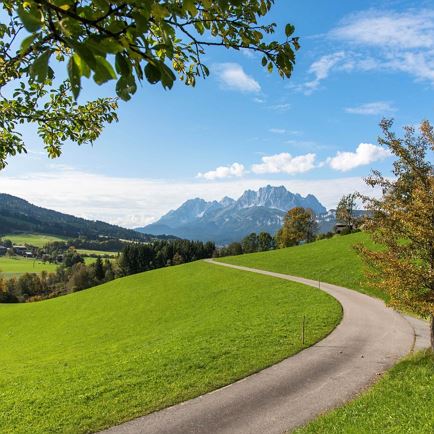
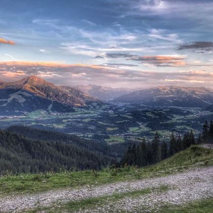
Medium-steep asphalt path past the Alpengasthof Hirschberg - continue on shady forest road to the idyllic mountain lake Angerer Alm (1300 m SH middle station) - mountain station Harschbichl (1604 m SH) magnificent panoramic view; many cozy stop and rest opportunities along the way.
Read more
Info
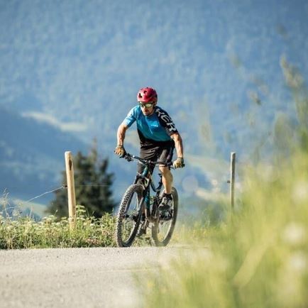
Harschbichl I - Nr. 214
Features
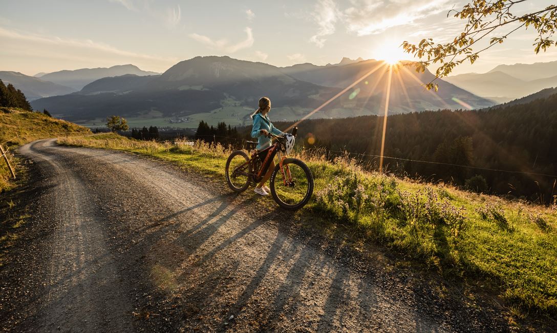
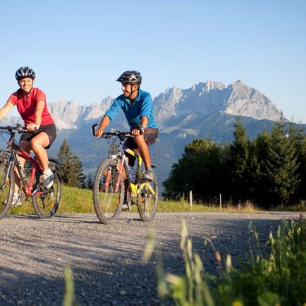
checkMedium difficulty / red
check
asphalt, well prepared forest trails
- outdoor clothing -helmet - sturdy shoes - Sufficient food and drinks - First aid kit - Mobile phone with full battery & charger - Hiking map & guide literature - GPS device or download the GPS data to your mobile phone if necessary - Sun protection (sunglasses, sun cream, cap) - Rain protection - Cash -opt. Multitool & repair kit, bike pump
Coming from the direction of Waidring, Erpfendorf, Kirchdorf on the B178, follow Salzburger Straße into the roundabout, take the third exit and drive into Poststraße. Continue towards the train station and park on Speckbacherstraße at the St. Johann in Tirol cable car car park. Now you have reached nearly Apfeldorf.
Coming from the direction of Kitzbühel, Oberndorf on the B161, drive towards St. Johann in Tirol. At Eggerwerk, turn right towards St. Johann in Tirol and drive to the St. Johann in Tirol cable car car park. Now you have reached nearly Apfeldorf.
This is how you get to the St. Johann in Tirol region: https://www.kitzbueheler-alpen.com/en/stjo/getting-here/holidays.html
Bustop / Trainstation: St. Johann i.T. Bahnhof (ca. 1 km from gondola Harschbichlbahn)
Bus and traintimes: kitzalps.cc/mobile
Parking lot Bergbahnen St. Johann in Tirol (Hornweg 21, you will have to pay a parking fee)