Mühltalrunde

Hiking

favorite_borderfavorite
play_arrowpause
  • EasyLevel
  • access_time1:30 hDuration
  • arrow_right_alt6,7 kmDistance
  • terrain703 mHighest point
  • trending_up140 mUphill
  • trending_down140 mDownhill
  • Show map
dorfplatz_itter2026-08-03kem_hohe_salve_28_830293313.JPG

Tour information

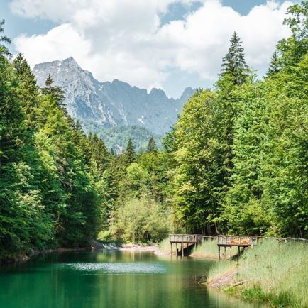
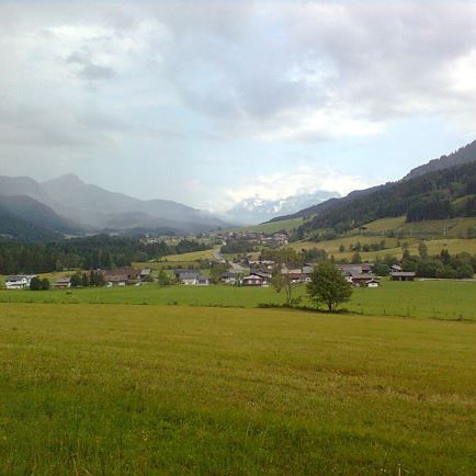
The starting point of the hike is the village square in Itter. Follow the signs towards Rosenweg (No. 4). Passing the viewing platform, continue to the fork in the path and turn right. At the fountain in the Itterer Dörfl, turn left and walk past the two farms Starmacher and Mitterer. There, follow the signs for the Mühltalrundweg towards Nasen (No. 5). Once at the bottom, cross the main road and follow the hiking and cycling path towards Mühltal.
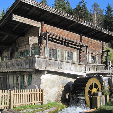
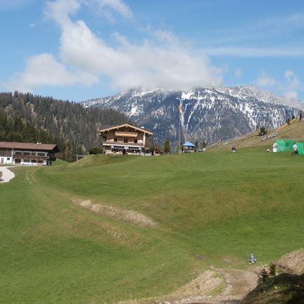
Passing the Gasthaus Rösslwirt, continue along the Dengbach stream towards Schwendt. After the underpass, walk past the valley station of the Salvistabahn. From there, take the Schwendter Weg back to the starting point (No. 3).

Read more

Info

Mühltalrunde

Features

  • check easy
  • check
  • Asphalt, forest track
  • Outdoor clothing, sturdy footwear
  • Bus: Dorfplatz Itter

    Regional Guest Card = Train ticket from Kirchbichl to Hochfilzen + Bus ticket from Mariastein to Kitzbühel included! 

    Valid on ÖBB local trains (S, REX) and InterRegio trains (IR) between Kirchbichl - Wörgl and Hochfilzen
    Not valid on RJ, RJX, EC, IC, ICE, D and NJ/EN trains

    More detailed information at: www.hohe-salve.com/mobilität
  • Coming from Innsbruck/Munich: A12 exit Wörgl Ost – feeder road B178 towards St. Johann i. T. & Kitzbühel – stay on the B178 for approx. 3km after the tunnel (drive under the roundabout) – follow Luechstraße onto Loferer Straße – at the main intersection (industrial area Itter on the left) turn right onto Itterer Straße – the destination is reached after approx. 1.5km following a slight incline

    Coming from Kitzbühel: B170 Brixentalstraße towards Wörgl – drive through Hopfgarten until just before the town exit (Bahnhof Hopfgarten) – approx. 100m after Bahnhof Hopfgarten follow the signs right to Itter – continue up the hill on Itterer Straße for approx. 2km until the destination 
    free parking directly at the village square in Itter

Restaurants & infrastructure

Similar

Weitentalweg

WeitentalwegEasy
Weitentalwegaccess_time2:00 harrow_right_alt6,5 kmfavorite_borderfavorite

Brixner Gangl

Brixner GanglEasy
Brixner Ganglaccess_time2:30 harrow_right_alt7,1 kmfavorite_borderfavorite