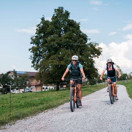
Wörgl - Zauiberwinkel (MTB 355)
 Hard
Hard
The Hohe Salve routes and tours portal provide the loveliest suggestions for hiking, cycling, running, cross-country skiing, snow-shoe hiking, tobogganing and winter hiking. Make the most of the extensive filter function to find a tour that wholly suites your ideas. As well as the difficulty level, type of sport, distance, duration and metres of ascent can also be set. Just have a browse, find a suitable tour and discover the variety in the region !
Hard Easy
Easy Medium
 Easy
Easy Easy
Easy Hard
Hard Medium
 Medium
 Easy
Easy Easy
Easy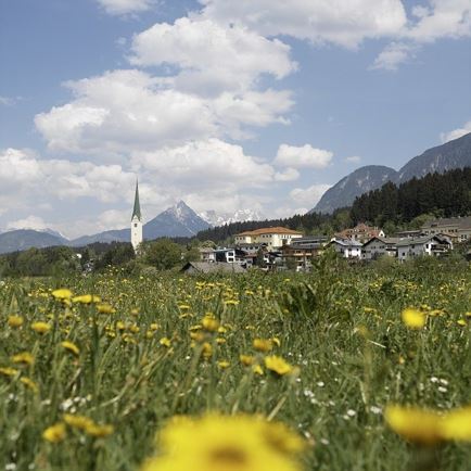 Easy
Easy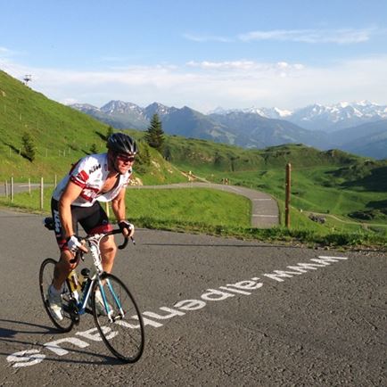 Hard
HardThe interactive map of the Kitzbühel Alps convinces with lots of content about the most beautiful holiday activities. Plan your next trip to the Tyrolean mountains today. Special features of the map are the GPX download, the filter function and the 3D round flight.