Wandern Kraftalm Itter

The route & tour portal for hiking

Hikes and hiking trails in the Holiday Region Hohe Salve

search
closeConfirmation

What?

Category

Where?

Regions

  • check
  • check
  • check
  • check
  • check

Distance

0

50

Duration

0

10

Altitude

0

5000

Confirmation

Reitham Trail

Reitham TrailEasy
Reitham TrailClosedarrow_right_alt7,0 km89 m favorite_borderfavorite

Penningberground

PenningbergroundMedium
Penningbergroundaccess_time4:00 harrow_right_alt12,0 km287 m favorite_borderfavorite

Lake Schlosserbergsee

Lake SchlosserbergseeMedium
Lake SchlosserbergseePartially openaccess_time4:00 harrow_right_alt8,4 km422 m favorite_borderfavorite

Aschaurunde

AschaurundeMedium
Aschaurundeaccess_time3:00 harrow_right_alt7,7 km390 m favorite_borderfavorite

Lodron

LodronMedium
Lodronaccess_time8:30 harrow_right_alt20,0 km1125 m favorite_borderfavorite

a Traum

a TraumEasy
a Traumarrow_right_alt110,0 kmfavorite_borderfavorite

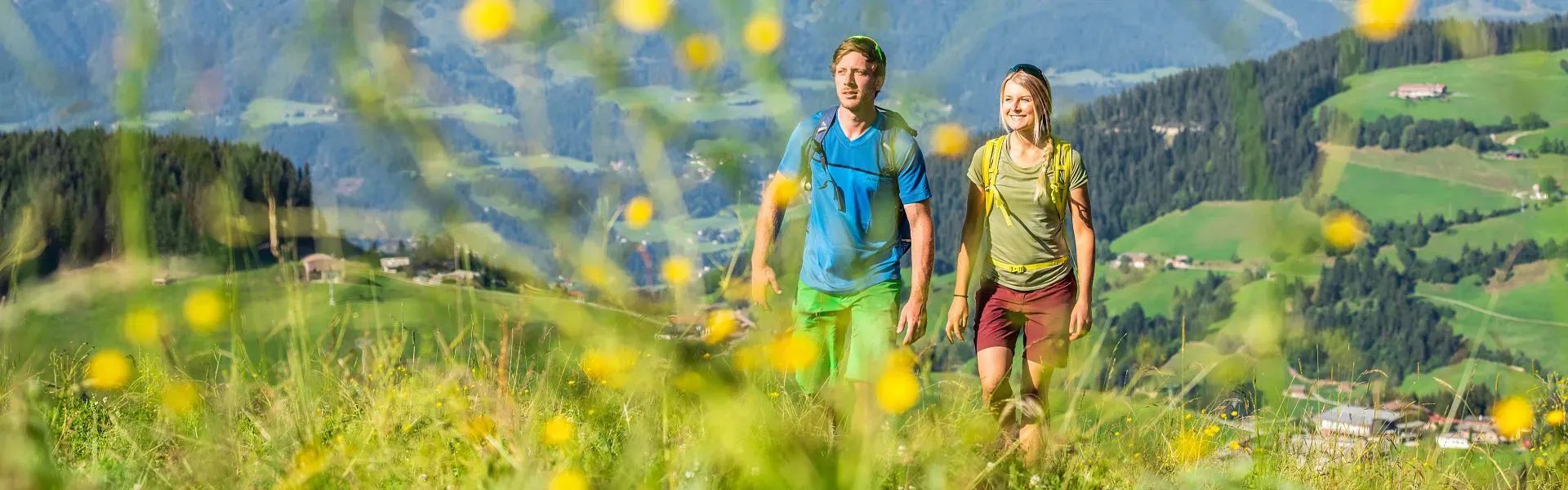
The most scenic hikes and footpaths in the townships of Hopfgarten, Itter, Kelchsau, Wörgl, Angerberg, Mariastein, Angath and Kirchbichl summarised for you. In addition to a detailed description you’ll find all important data such as time, elevation gain and kilometres directly in the route view. The hiking tours can be downloaded as a PDF and printed out. There is also the option of loading the GPS data onto your sports watch or a GPS device. Use the filter function and promptly find a suitable route for your next hike in the Holiday Region Hohe Salve.