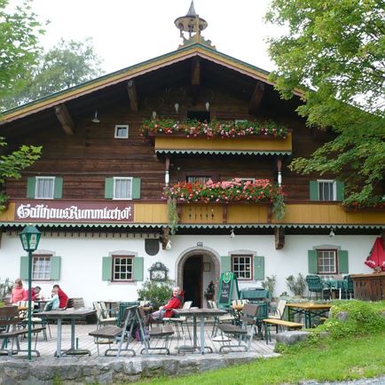
The starting point is the more than 400-year-old Rummlerhof inn (775 m). From there, you walk via the small settlement of Maurern towards Diebsöfen. According to legend, smugglers and thieves used to hide up there. Evidence shows that during Napoleon's invasion (1809), the population hid in the caves of the Diebsöfen.
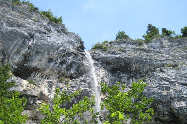
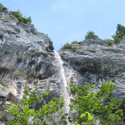
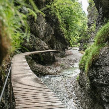
Finally, we continue to the Schleier waterfall (1,245 m). A unique natural spectacle rewards the 2.5 hours hiked so far. Like a curtain, the Schleier waterfalls pour over an 80 m high rock face.
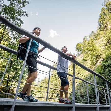
Next to the waterfall is one of the most beautiful, but also most difficult climbing gardens in the Alps. A paradise for sport climbers.
The way back begins in the direction of Hüttlmoos, across the Moor & more. Continue via Maurern to the starting point, the Rummlerhof.
Another attraction is the "Moor and more" adventure world, a moor landscape, which includes the Hüttlmoos, the Windwehenmoos and the Steinbichlmoor. The moor impresses with its unique flora and fauna.
Alternative:
From the Schleier waterfall via the "Leiterl" (ascent via a short ladder and exposed path!) to the Granderalm and from there back to Maurern/Rummlerhof - total hiking time is then approx. 3 hours.
Read more