Schwaigberghorn past Feldalphorn
 Medium
Due to forestry and construction work, severe weather and other incidents, there may be trail blockages in summer on the hiking, walking trails, footpaths and biking or cycling trails. To prevent this from taking you by surprise, on this page you’ll find all important details and additional tour tips. On the interactive map, all blockages, the affected trails and possible alternative routes are indicated. For your personal safety, please note the waymarking and observe any mandatory and prohibition signs.
checkOverview updated daily
checkFurther route suggestions and alternative routes or diversions options
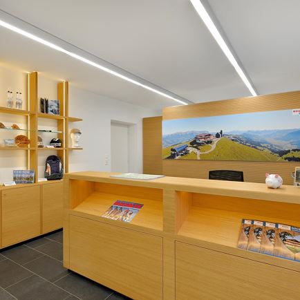
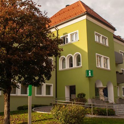
checkInformation also available in the info offices of the Holiday Region Hohe Salve
If you notice any damage to the trails, please report this to one of the info offices of the Holiday Region Hohe Salve or to the cable cars. The team of the Holiday Region Hohe Salve will be happy to help you with any questions and comments!
Please note: In winter, please only walk on the signposted winter hiking trails and snowshoeing trails of the Holiday Region Hohe Salve.

The interactive map of the Kitzbühel Alps
A wide range of hiking tips of many different distances and difficulty levels can be found on the interactive map. There you can also directly see the opening status of the tour and find suitable routes.
Simply select filter category, choose suitable tour and set off on your hike or your cycling trail!