
Bike & Hike Lodron über Lodronalm
 Hard
Hard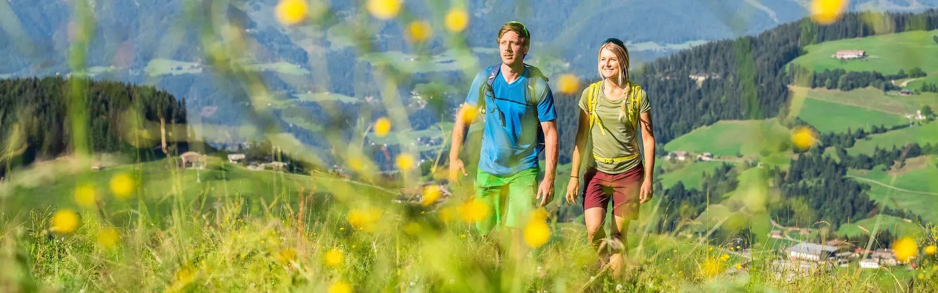 Hard
Hard Medium
 Medium
 Hard
Hard Medium
 Medium
 Easy
Easy Easy
Easy Easy
Easy Medium
 Easy
Easy Easy
EasyThe most scenic hikes and footpaths in the townships of Hopfgarten, Itter, Kelchsau, Wörgl, Angerberg, Mariastein, Angath and Kirchbichl summarised for you. In addition to a detailed description you’ll find all important data such as time, elevation gain and kilometres directly in the route view. The hiking tours can be downloaded as a PDF and printed out. There is also the option of loading the GPS data onto your sports watch or a GPS device. Use the filter function and promptly find a suitable route for your next hike in the Holiday Region Hohe Salve.