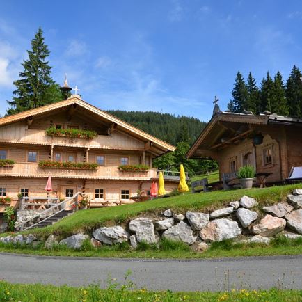
The approach is from Westendorf into the Windautal valley where there is a toll fee of €3 per car – as of 2018. Good parking facilities are available after the Gasthaus Steinberg below the Pastau Alm. Alternative take the Windau hiking taxi into the valley - information at: 0043 57507 2000 300
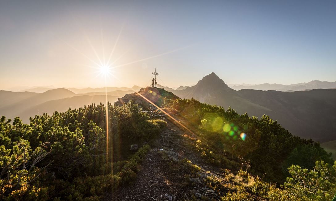
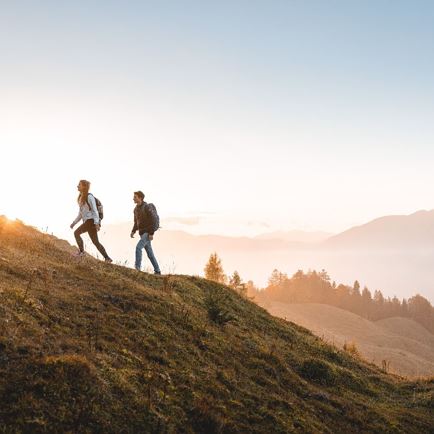
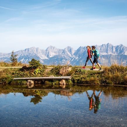
From there we start the hike and walk a short distance into the valley. Exactly at the transition of the asphalt road into a gravel path we keep left and cross the bridge over the Windauer Ache. Now follow the forest path steadily uphill and after numerous hair pin bends you come to a fork where you turn left to Scheibenschlag Niederalm. We pass the Alpine pasture and follow the Alpine path on the right to the Scheibenschlag Hochalm. The road ends at the Hochalm. Directly above the Alpine pasture building we find the path that leads us to the Hintenkarscharte. Due to the numerous cattle hoof prints, the trail is difficult to find in some places! At the Hintenkarscharte we follow a beautiful hiking trail on the right hand side, which after a few ascents shows us the way to the Gerstinger Joch. A magnificent landscape awaits you up here - mountain pine fields, high moors with many "Hirschlaken", countless blueberry and cranberry bushes and a fantastic view!
The return journey can be made along the well-known path, or you can stay on the eastern side of the summit and reach the Labalm in the Spertental!
Read more