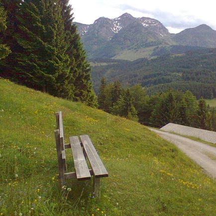
The approach is from Westendorf into the Windau valley to the car park at the Ahornau Alp/hunting lodge. Just opposite the hunting lodge we hike across the footbridge over the Windauer Ache and continue uphill along Alpine pastures, past the Ahornau Alp, to the edge of the forest. Here we follow the well-marked, rather steep forest/alm trail to Lagfelden Alm. From now on the tour leads us steadily uphill on open Alpine pastures and numerous stoney fields to the summit of the Steinbergstein (2,215m). The great view of the Brixen valley and the numerous peaks of the Tauern mountain range compensates for the rather steep ascent!
For the return journey, you can of course choose the same route, or alternatively continue along the ridge to the Lodron mountain.
Read more