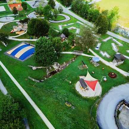
The starting point for this tour is the Wasserfeld car park P3 in Hopfgarten.
From there, follow the signs on Kelchsauer Straße and cross an old wooden bridge on the left. After the bridge, turn right into the district of Elsbethen. Follow signpost 228 in the direction of Ölbank. At the crossroads, turn right onto the Glantersberg and continue along trail no. 228 until you pass the two alpine pastures Vorder- and Hinterölbank. The trail leads past the Demmelshütte hut into Kelchsau. You return to the starting point via the Kelchsau road to Hopfgarten.
Alternatively, you can make a detour to the Lodronalm pasture after the two Ölbank pastures (no. 79).
Ölbankrunde (MTB Nr. 228)
Cycling
favorite_borderfavoriteplay_arrowpause
- HardLevel
- access_time4:00 hDuration
- arrow_right_alt28,7 kmDistance
- terrain1697 mHighest point
- trending_up950 mUphill
- trending_down950 mDownhill
Info
Ölbankrunde (MTB Nr. 228)
Features
- check difficult / black
- check
- Asphalt, gravel, forest roads,
- cycling helmet cacling clothes rainwear sun protection cash mobile phone cycling map (available at the tourist info offices) snack sufficient water repair kit first-aid kit
- From Innsbruck/Munich: A12 exit Wörgl Ost - feeder road B178 towards St. Johann i. T. & Kitzbühel - after tunnel exit towards Hopfgarten - at roundabout take B170 towards Hopfgarten - in Hopfgarten through railway underpass and right over bridge towards Kelchsau - destination is on right hand side on Kelchsauer Straße immediately after crossing.
From Kitzbühel: B170 Brixentalstraße direction Wörgl - in Hopfgarten before the second railway underpass turn left direction Kelchsau - cross the bridge - destination is on the right hand side at Kelchsauer Straße immediately after the crossroads.
- bus: Hopfgarten Berglift Bahnhof
train: Hopfgarten Berglift Bahnhof
Guest card = travel ticket - bus & train included!
Online timetables:
www.vvt.at
www.oebb.at - Car park P3 Wasserfeld (free of charge)
Lift parking - free of charge when using the gondola
More information about the tour
Arrival to starting point
Plan routeHöhenprofil
GPX Download