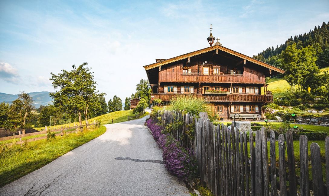
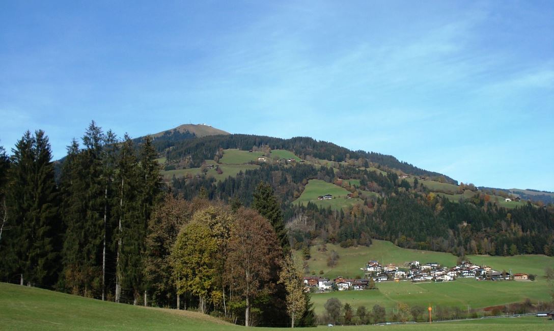
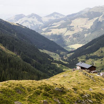
We start the hike in the centre of Westendorf. Along the Peter-Neuschmid-Straße we hike out of the village, slightly downhill, to the valley floor at "Mühltal". We cross the main road (Hofer supermarket on our right) and hike slightly uphill io the hamlet of "Feichten" which we pass through. At the end of the hamlet we continue straight on, walk past the Strubl farm and reach a tractor/meadow track. At the first sharp right-hand bend, we turn left onto a hiking trail (No. 91). Now the trail continues steadily uphill through woods and meadows. When we reach a farm track, we keep to the right and pass the "Pfennig" and "Haller" farms. Following the asphalt road for a while, we come to a fork in the road where we keep to the right uphill. The road winds up the "Außersalvenberg" giving us a wonderful view. After the 2nd right-hand bend, we turn sharply left at the "Schmiedhof" farm and hike along a beautiful forest hiking trail to the Wittal chapel. There we reach another road, which we follow uphill to the middle station/ Tenn mountain inn.
There are several options here:
we can either take the gondola lift uphill or downhill, or alternatively we can hike from the middle station to the reservoir / Salvensee (No. 99), to the Rigi mountain inn (No. 70) or to the Hohe Salve.
Read more