"Brechhorn Runningtrail" Runningtrail 11

Running

favorite_borderfavorite
play_arrowpause
  • MediumLevel
  • access_time2:00 hDuration
  • arrow_right_alt10,5 kmDistance
  • terrain2018 mHighest point
  • trending_up581 mUphill
  • trending_down581 mDownhill
  • Show map
IMG_3873.JPG

Tour information

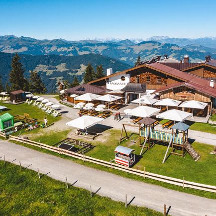
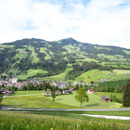
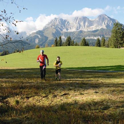
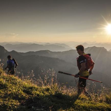
Again, thanks to the Bergbahn Westendorf (gondola) we can save ourselves 800 m elevation gain and still have a great experience.  From the mountain-top station, Talkaser, follow forest paths and runningtrails to the Brechhorn summit.  From here you are unbelievably close to the Hohe Tauern mountain range to the South while crossing some of the nicest runningtrails in the entire Brixen valley.  Return by the same route.
 

Read more

Info

"Brechhorn Runningtrail" Runningtrail 11

Features

  • check medium difficulty level
  • Trailrunning Schuhe, Rucksack, Erste Hilfe Set, Getränk, Windjacke

Restaurants & infrastructure

Similar