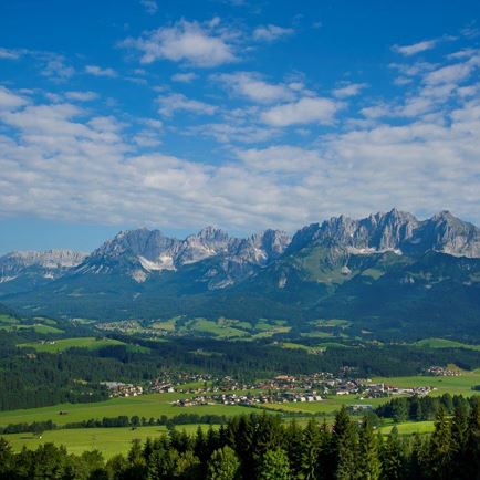
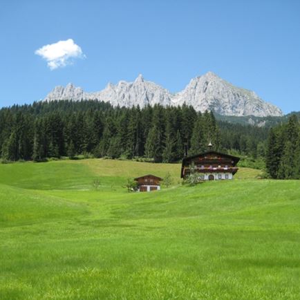
Route 205 starts at the Gaisberg lift’s valley station in Kirchberg. From here the route runs along the Aschauer Ache on forest and hiking trails, very slightly uphill, to Aschau. From Aschau you can take the MTB route 205 to the nature reserve area below the Rettenstein. From now on the trail climbs steadily, past the Klooalm, to the Ragstattalm where the path turns left. From here the route leads along a quiet forest path, alternating uphill and downhill, until you finally reach the valley station of the Hiesleggbahn (1,450 m). The descent, a bit steep at the start, begins on a gravel route but changes into a good asphalt road along the way. At the valley station of the Pengelstein-1 lift, the path crosses the main road and the Aschauer Ache. Now we are back on the cycle and hiking trail that leads back to Kirchberg
Read more