Road cycling route - Reintaler Seen

Cycling

favorite_borderfavorite
play_arrowpause
  • MediumLevel
  • access_time3:30 hDuration
  • arrow_right_alt67,0 kmDistance
  • terrain661 mHighest point
  • trending_up330 mUphill
  • trending_down380 mDownhill
  • Show map
region-hohe-salve-gravel-bike-07-2025-fotograf-stefan-ringler-web-09_1174840920.jpg

Tour information

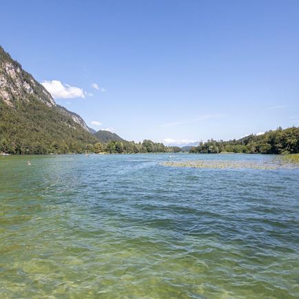
You can join the route at any point. From the start at the Wasserfeld P3 car park, cycle towards Wörgl. At the next junction, turn right over the bridge towards Itter, then left at Café Lois. From here, follow the road past the football pitch. At the junction for Itter, keep straight on towards Wörgl. Here, after the underpasses, follow the road and the cycle path to Bruckhäusl. At Wörgl-Süd Bruckhäusl station, take the underpass onto Brixentaler Str. as far as Wörgl – there, follow the road signs towards the Innpromenade. Stay on the tarmac cycle path to Rattenberg. Before reaching the town, turn right towards Kramsach/Reintaler Seen. Pass the lakes on the L211 to Breitenbach am Inn. After a short climb, the route continues via Angerberg and Mariastein and, from Oberlangkampfen, follows the cycle path again to Angath. Continue following the signs to Wörgl. From Wörgl, take the same route back to Hopfgarten.

Read more

Info

Road cycling route - Reintaler Seen

Features

  • check Medium difficulty / red
  • check
  • Asphalt
  • Cycling helmet,
    suitable cycling clothing, rainwear,
    sun protection,
    cash,
    mobile phone,
    plenty of fluids,
    repair kit, first-aid kit
  • train: train station Hopfgarten Berglift
    bus: 
    bus stop Hopfgarten Berglift

    Guest card of the region = train ticket from Wörgl to Hochfilzen + bus ticket from Mariastein to Kitzbühel included
    Valid on ÖBB local trains (S, REX) and InterRegio trains (IR) between Kirchbichl - Wörgl and Hochfilzen.
    Not valid on RJ, RJX, EC, IC, ICE, D and NJ/EN trains.


    More detailed information: www.hohe-salve.com/mobility
  • Wasserfeld P3

Similar