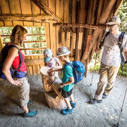
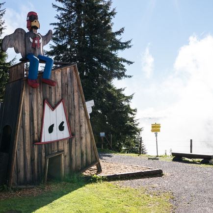
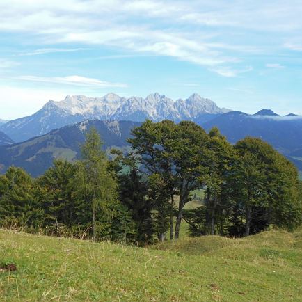
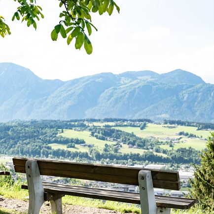
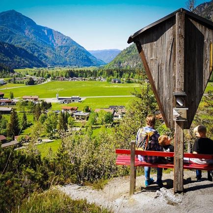
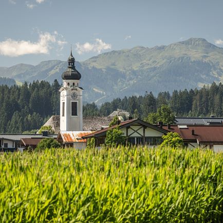
The starting point of this hike is the information office in Hopfgarten. Past the Familotel, follow the signs for no. 5 Mödlingweg. Passing the viewing platform Mödling you continue straight on to the Lindrainweg. From there you walk along the road back to the starting point.
Read more
Info
Mödlingweg
Features
checkeasy
check
check
Asphalt, forest road, walking path
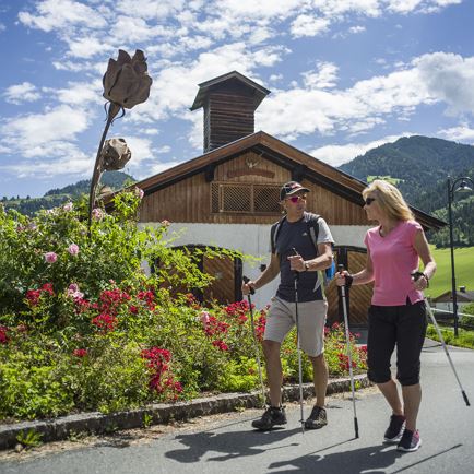
outdoor clothing Sturdy shoes sufficient food and drinks first aid equipment cell phone with full battery & charger hiking map & guide literature possibly GPS device or download the GPS data to the cell phone sun protection (sunglasses, sunscreen & cap) rain protection cash
Coming from Innsbruck/Munich: A12 exit Wörgl Ost - feeder road B178 direction St. Johann i. T. & Kitzbühel - after tunnel exit direction Hopfgarten - in the traffic circle take the B170 direction Hopfgarten - in Hopfgarten before the railroad underpass turn left direction Salvena - follow signs to destination. Coming from Kitzbühel: B170 Brixentalstraße direction Wörgl - in Hopfgarten after the second railroad underpass take the first exit on the right direction Salvena - follow the signs to the destination.
bus: Hopfgarten Berglift Bahnhof train: Hopfgarten Berglift Bahnhof
Guest card of the region = train ticket from Kirchbichl to Hochfilzen + bus ticket from Mariastein to Kitzbühel included