Hohe Salve via KRAFTalm

Hiking

favorite_borderfavorite
play_arrowpause
  • EasyLevel
  • access_time1:30 hDuration
  • arrow_right_alt3,4 kmDistance
  • terrain1822 mHighest point
  • trending_up470 mUphill
  • Show map
KLEIN_Kraftalm Wandern.jpg

Tour information

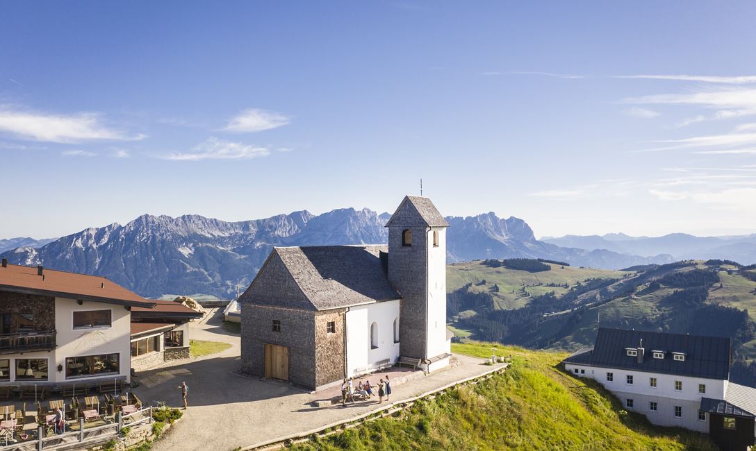
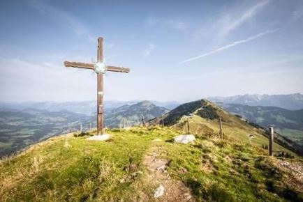
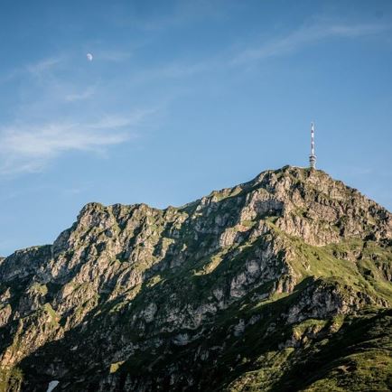
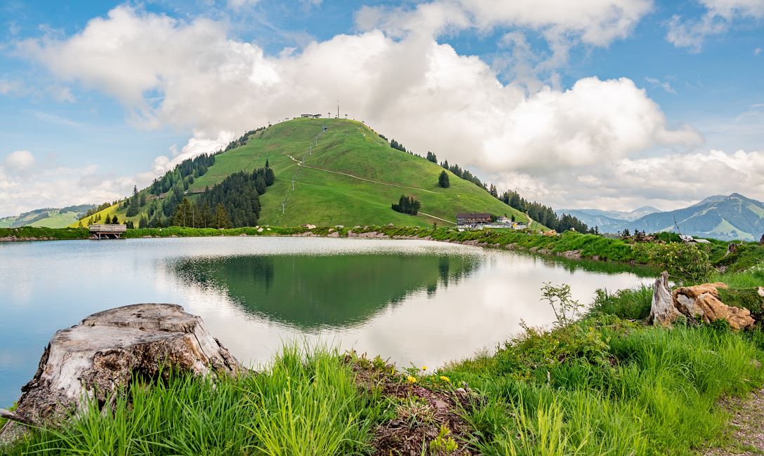
The starting point of this hike is the valley station in Itter. From there, take the Salvistabahn to the middle station. Follow the signs towards Alpengasthof Rigi (No. 70), passing the Kleine Salve reservoir. You then reach the summit of the Hohe Salve via path No. 65.
To return to the starting point in Itter, follow the same path (No. 70).

Read more

Info

Hohe Salve via KRAFTalm

Features

  • check easy
  • check
  • Forest road
  • outdoor clothing sturdy footwear sufficient food and drinks first aid kit mobile phone with a full battery & charger hiking map & guidebooks possibly a GPS device or download the GPS data onto your phone sun protection (sunglasses, sunscreen & cap) rain protection cash


  •  
  • Bus: Itter Salvistabahn

    Regional guest card = train ticket from Kirchbichl to Hochfilzen + bus ticket from Mariastein to Kitzbühel included! 

    Valid on ÖBB local trains (S, REX) and InterRegio trains (IR) between Kirchbichl - Wörgl and Hochfilzen
    Not valid on RJ, RJX, EC, IC, ICE, D and NJ/EN trains

    More detailed information at: www.hohe-salve.com/mobilität
  • Parking facilities directly at the Salvistabahn valley station 

Restaurants & infrastructure

Alpengasthof Rigi

Alpengasthof  Rigi
Alpengasthof Rigi
Open todayHopfgarten im Brixental
favorite_borderfavorite
KRAFTalm

KRAFTalm
KRAFTalm
Open todayItter
favorite_borderfavorite

Similar

Gasthof Nieding

Gasthof NiedingEasy
Gasthof Niedingaccess_time1:15 harrow_right_alt3,4 kmfavorite_borderfavorite

Wohlfühlweg

WohlfühlwegEasy
Wohlfühlwegaccess_time1:30 harrow_right_alt3,6 kmfavorite_borderfavorite

Baumgartenrunde

BaumgartenrundeEasy
Baumgartenrundeaccess_time1:00 harrow_right_alt3,7 kmfavorite_borderfavorite