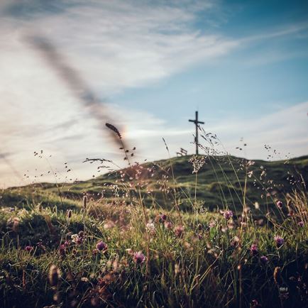
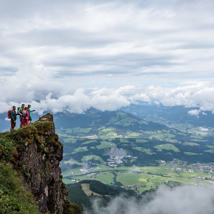
The variety-packed route ascends slightly initially through forests and pastures, passing splendid farmsteads in the Penningberg.
After a short, flat route to Innerpenningberg, the second ascent begins to the traditional Haag Alm (not open for business – trough with cooled drinks available for you to serve yourself). With no real ascent worthy of mention you come to the Höhenbrandalm, where the descent via a forest trail to the stage destination of Kelchsau begins. In Kelchsau there are also a few really lovely wood-construction buildings and farms.
From
Hopfgarten tourist information centre in the
centre of village and at Intersport Oberhauser, bear
left heading down to the
railway underpass. Go under the railway and continue
straight across the
bridge. There is now a short section to the
right, along the
road and at the yellow
signpost Penningdörfl, 1 h proceed to the
left for over a
field.
The path takes you into the
forest. At the
Blaickenhof (670m) continue to the
right on a
forest path, until you cross the
bridge over a stream in Schönbachtal (short downward section). Now bear
left for around 100 metres along the
road, always following the
signposts for
Penningdörfl on a
cart path through
Schönbachtal.
As soon as you come to the first
meadows, the path proceeds through them, heading right up to the old
heritage farms in the
hamlet of
Hinterlitzl (765m). Continue on a
forest path, climbing slightly for around 500 metres, which then more or less evens out at
Penningdörfl (1 hour from Hopfgarten). In
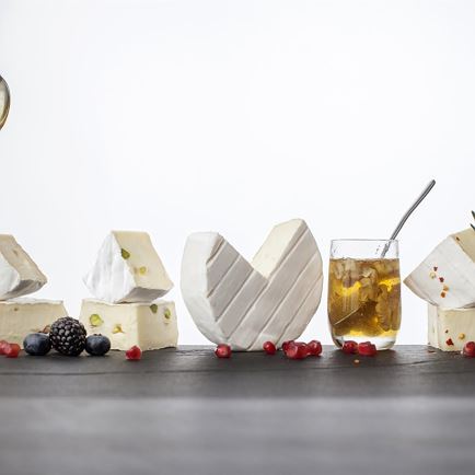
Penningdörfl there is also the authentic shop ‚
Milchbuben‘, where
homemade cheese and other
natural farm produce are
available for purchase.
Pass the old wooden buildings and follow the
signposts for
Markbachjoch, Feldalphorn, walking
uphill for a short section on a forest path, before a steep
path (
Markbachjoch, Feldalphorn) to the
hamlet of
Schipfling (985 m) branches off just in front of a detached house.
As soon as you reach the
access road (Mittermoosenweg), keep
left on a road which goes
downhill for around 800 metres to
Innerpenningbergstraße.
Now
take a right, heading
into the valley on a little used
road for around
two kilometres, with the final section going slightly
downhill to
Innerpenningberg (921 m, approx. 1 ½ hours from Penningdörfl).
Cross a
bridge here and follow the
signposts to
Haag Alm. A
forest path proceeds in several twists and turns, continually climbing through
forest and
Alpine terrain up to the traditional
Haag Alm, where there is a
rustic trough with drinks (1,320 m, approx. 1 ½ hours from Innerpenningberg).
After this, there is still a
short section uphill to get to the
highest point of the tour (1,338 m).
The
route now proceeds slightly
downhill again to
Höhenbrandalm (1,299 m). Hike via several
twists and
turns on the forest path through the little
ski area – the final section is on asphalt –
down to
Kelchsau (around 1 ½ hours from Haag Alm).