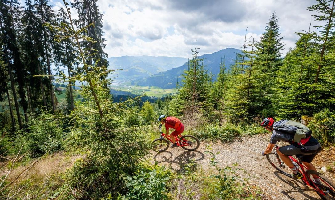
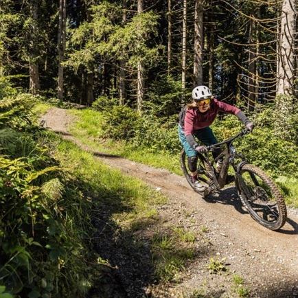
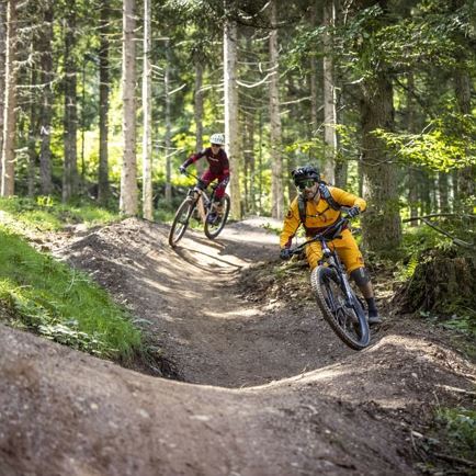
The entrance to the Sun Trail is located at about 1,340 m above sea level on the Gsengweg. On the upper part of the trail, you swing through a forest, which clears in the middle and then passes through an open aalpine area. You can quickly find a successful rhythm between the bends and bumps on this fun route. After crossing the stream, it continues to follow it downhill over bumps, features and hair-pin bends. Near the power station east of Brixen the trail ends.
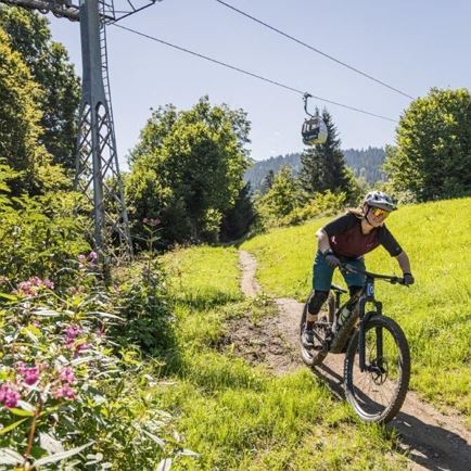
The trail can be reached via Brixen on the Bike Route 265 to the Berggasthof Nieding and then via Route 299. Or via Route 288. The first 500 meters of altitude can be more comfortably overcome with the gondola froch Hochbrixen. From here it's down to Guesthouse Nieding an then a comfortable 200 meters upjill (Route 299) to the entrance to the Sun trail.
Distance: 2.5 km
Elecation: 400 m
Difficulty: S0-S1 (easy)
Read more