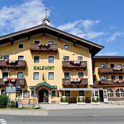
From the centre of the village, we stroll past the Gasthof Kalswirt, and continue along the Weinbergweg beside the stream. There are many venerable and hence enchanting farms on this route. After the meadow path we reach the Sonnbergstraße. Further on, a forest path leads us through forests towards the Rauher Kopf. The last section of the trail to the summit is a real challenge
crossing over roots and small raised mounds of bog land. A fantastic panoramic view in all directions is the reward for reaching the summit - the view at the Rauher Kopf is unique! The descent leads from the summit via the Auer-Hochalm to the Hinterer Sonnberg. An ideal place to stop on the way down to the valley is the rustic Gasthof Ruetzen. There are two options from here - remaining on the road you reach Spertendorf or alternatively route 9a leads along a forest and meadow path to the hamlet of Bockern. With a bit of luck, we will encounter the capercaillie (woodland grouse) making its rounds on the Rauher Kopf.
Read more