Erpfendorf - Prostalm - Prostkogel

Hiking

favorite_borderfavorite
play_arrowpause
  • MediumLevel
  • access_time4:45 hDuration
  • arrow_right_alt11,7 kmDistance
  • terrain1235 mHighest point
  • trending_up589 mUphill
  • trending_down590 mDownhill
  • Show map
2017-08-23-Kitzalps-Reportagen-4536.jpg

Tour information

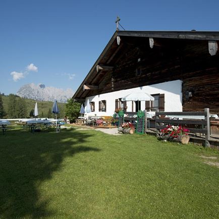
From the centre of Erpfendorf, walk in the direction of the national road. After crossing the road, keep left - past the Steinbacher company - until you reach the river Großache. Turn right and follow the hiking trail to the  bridge. Cross it and hike from the hamlet of Brugging up via the Krepperalm to the Prostalm. A steep trail leads to the Krepperalm and then via Strüblalm (925 m) to the Prostalm (1180 m).

From there it is another 20 minutes to the Prostkogel (1244 m). This detour is worth it, as you will be rewarded with a fantastic view of the mountain peaks all around. On the Prostkogel you will also find a historic air traffic control.

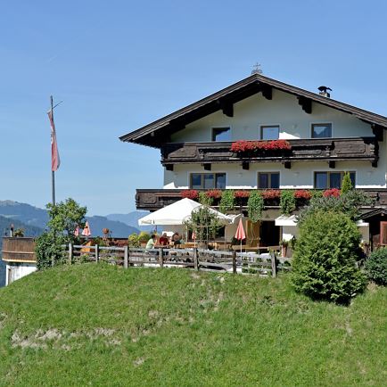
From the Prostkogel, the hike leads back along the same path until the Strüblalm. There keep to the right and hike down to the hamlet of Weng/Prost. Here you change to the hiking trail at the Achendamm and hike back to the centre of Erpfendorf.

Tip:
Make a detour to the "Teufelsgasse".

Read more

Info

Erpfendorf - Prostalm - Prostkogel

Features

  • check medium difficulty / red mountain path
  • check
  • check
  • Asphalt, gravel, forest and mountain trail
  • Steady trekking shoes
    Functional shirt
    Snacks and full drink bottles
    Fully charged mobile phone and charger
    First aid kit
    Sun protection
    Cash
  • Starting from the region St. Johann in Tirol (Click here for driving description) take first the B164 and then the B178 to Erpfendorf 
  • Postbus 4012 St. Johann i.T. Bahnhof - Erpfendorf Ort
  • Erpfendorf center

Restaurants & infrastructure

Prostalm

Prostalm
Prostalm
Kirchdorf in Tirol
favorite_borderfavorite

Similar

Torhelm

TorhelmMedium
Torhelmaccess_time6:30 harrow_right_alt11,9 kmfavorite_borderfavorite