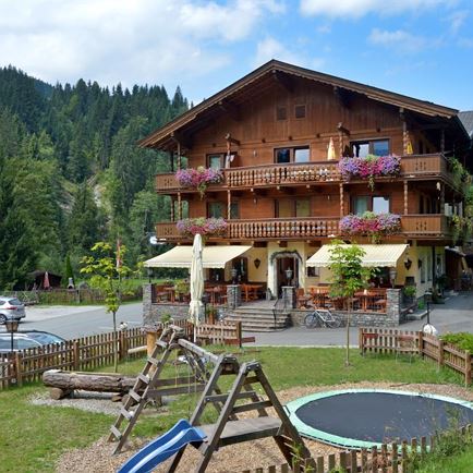
The departure point for this hike is in the Unterwindau area of Westendorf. There are several smaller parking bays close to the “Gasthof Lendwirt”.
For this hike you can also follow the signs for the MTB route No. 206!
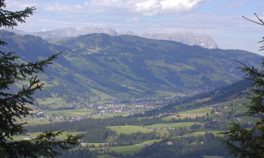
Just after the Gasthof Lendwirt a small bridge crosses the Windauer Ache (river) immediately followed by a fork in the road. We take the route uphill ie. straight ahead and remain on the asphalt road, passing impressive farms on the Schwaigerberg mountain. At the junction for “Gruberberg” we keep to the left and continue uphill. After a short distance this road runs into a gravel track. We continue uphill along this track as far as the junction for “Angerla Alm”. Here we keep to the left downhill and arrive at the Kinzlinger Alm (no refreshment facilities!!). From here the road begins to meander slightly uphill again. At the next fork in the road we keep to the left and walk slightly downhill again. Passing numerous Alpine buildings on the way to the valley, we also have beautiful view of Westendorf and the Brixental valley. Approaching the bottom of the valley, we have two hiking possibilities:
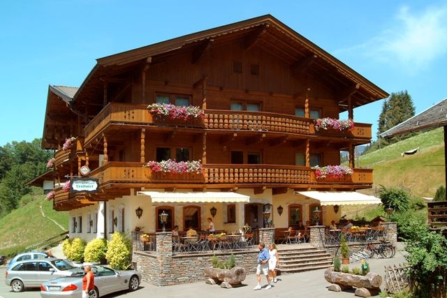
• Continue down the valley – thus leading to the Gasthof Jägerhäusl. Before the bridge which crosses the Windauer Ache, we keep to the left and walking continuously along the river, we arrive back at our departure point.
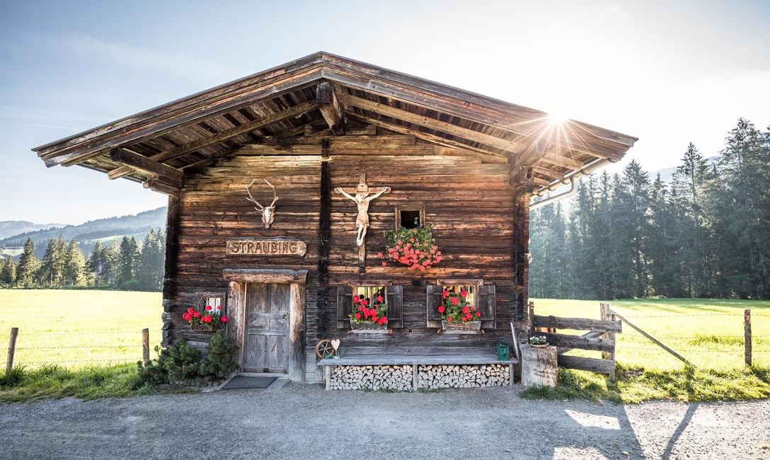
• We can follow the signpost for "Käsealm Straubing" and arrive at the rustic mountain snack bar. From here we continue straight ahead (northerly direction) and join up with the hiking trail No. 6 on the asphalt road which, after keeping to the left at the fork in the road, brings us back to our departure point.
Read more