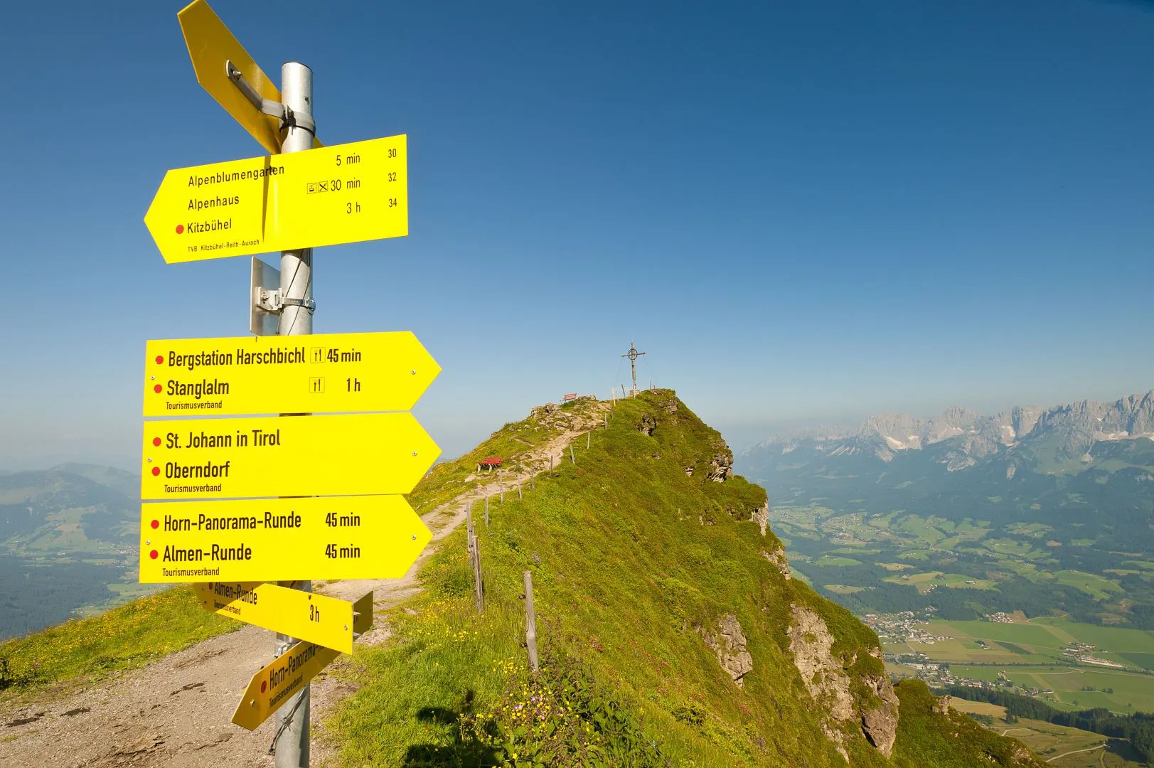
Horn summit mountain trail

Panorama circular route on the Kitzbüheler Horn in St. Johann in Tirol!
More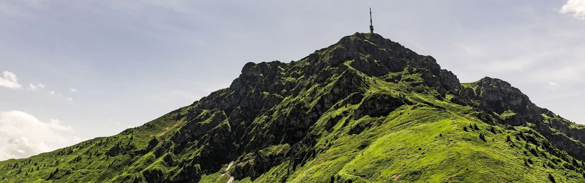
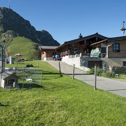
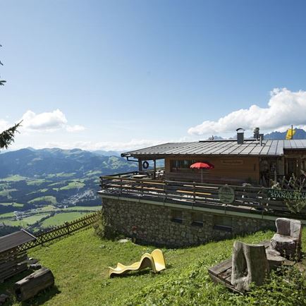
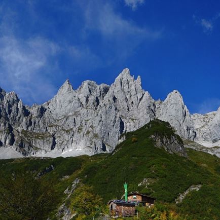
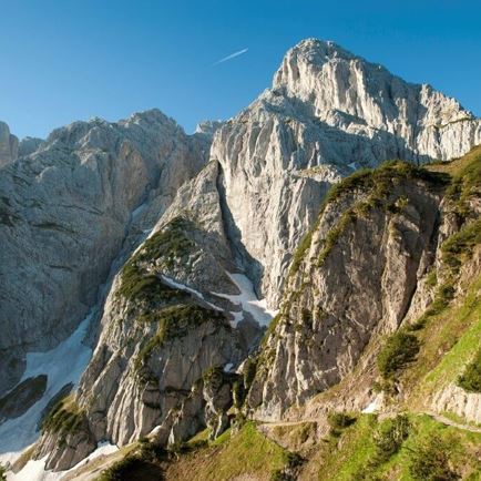
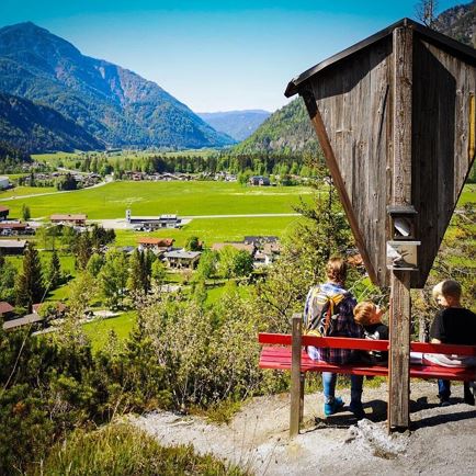
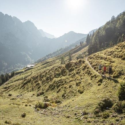
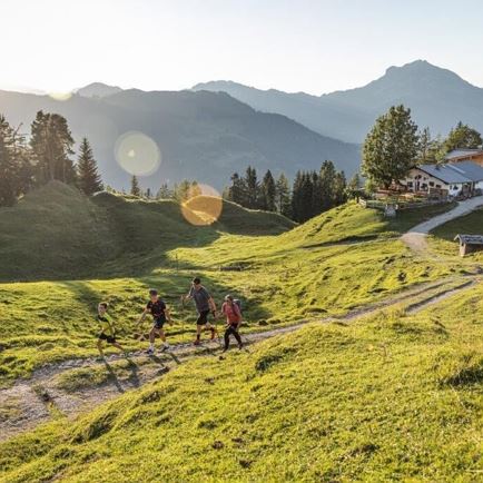
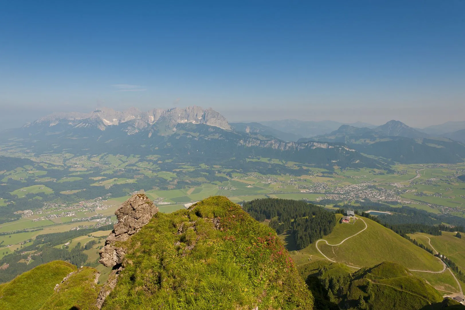
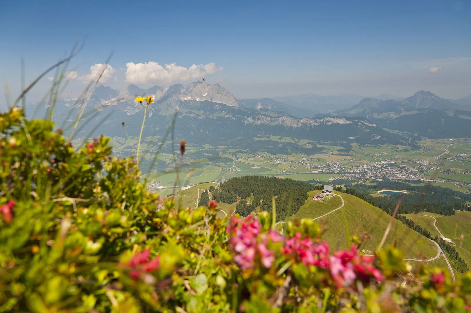
The Kitzbüheler Horn is the heart of the St. Johann in Tirol region. With its elevation of 1996 m only just misses out on that two-thousand metre mark. The radio tower, 102 metres in height, is the finishing touch at the tip of the mountain, and is almost like a landmark. A hike to the Kitzbüheler Horn is a "must-do" for all holiday guests in the St. Johann in Tirol region. Every hiker is rewarded with a breath-taking panorama view to the Hohe Tauern, the Venediger Group, Kaiser Mountains, Steinplatte, Loferer, Leoganger Steinberge and many more. To start a circular hike which has plenty of views Horn summit mountain trail, you can take the Cable car St. Johann in Tirol up to the Harschbichl (1604 m). Storm the summit cross on the Kitzbüheler Horn!


checkType: Circular hike
checkDuration: ca. 3.5 hours
checkDistance: ca. 6.2 km
checkHighest point: 1964 m
checkMetres ascent: 600 m
checkMetres descent: 600 m
checkLevel: Medium / Red mountain path
checkEquipment: Good mountaineering shoes, supplies (food, drink), clothing that is suited to the weather conditions
checkStart point: Harschbichl mountain station
Today 2024-04-19
Tomorrow 2024-04-20
Tomorrow 2024-04-21
Tomorrow 2024-04-22