Grießner Almen

Hiking

favorite_borderfavorite
play_arrowpause
  • MediumLevel
  • access_time4:00 hDuration
  • arrow_right_alt12,0 kmDistance
  • terrain1362 mHighest point
  • trending_up480 mUphill
  • Show map
Grießener Almen

Tour information

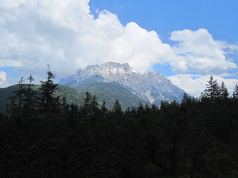
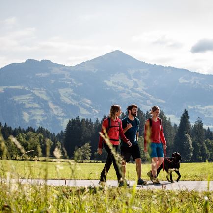
From the village centre walk along the main road and cross the border Tyrol-Salzburg (1.5 km from Hochfilzen). Trun right at the small car parking and follow the forest road up to Grießner Almen. Continue downhill to Aiblalm, then the way up to Aiblhöhe. At the cattle gate keep right and follow the road uphill. Via Waldmahd and the forest road to the main road and left back to the centre of Hochfilzen.

Read more

Info

Grießner Almen

Features

  • check medium difficulty / red mountain path
  • check
  • Gravel, asphalt, meadows.
  • Breathable outdoor clothing, sturdy shoes, food (snacks, drinks), sun protection (sunglasses, sun cream & cap), rain protection, cash; guest card if using the bus.
  • Coming from St. Johann i.T. or Leogang via the B164 Hochkönig Bundesstraße (coming from Waidring / St. Ulrich via the L2 Pillerseestraße) to Hochfilzen. 
  • By bus: Bus connection from Ellmau / Kitzbühel / St. Johann i.T. / Lofer and within the PillerseeTal region. Bus stop Hochfilzen Gemeindeamt. Bus free of charge with guest card.

    By train: free train connection from Wörgl to Hochfilzen (regional trains) with guest card. Hochfilzen train station. Tour leads past the station.
  • Hochfilzen Raiffeisenkasse car park or Kulturhaus.

Similar

Torhelm

TorhelmMedium
Torhelmaccess_time6:30 harrow_right_alt11,9 kmfavorite_borderfavorite

Sonnjoch

SonnjochMedium
Sonnjochaccess_time5:15 harrow_right_alt12,4 kmfavorite_borderfavorite