Kirchberg at Kalkstein

Hiking

favorite_borderfavorite
play_arrowpause
  • MediumLevel
  • access_time9:00 hDuration
  • arrow_right_alt24,7 kmDistance
  • terrain1672 mHighest point
  • trending_up1083 mUphill
  • trending_down1081 mDownhill
  • Show map
2017-10-12-Kitzalps-Koasatrail-Teil1-4637.jpg

Tour information

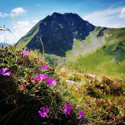
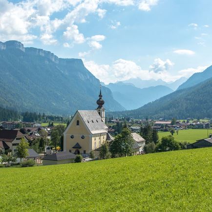
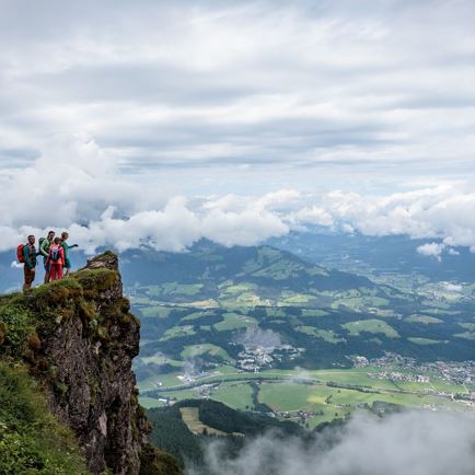
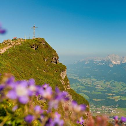
Walk initially through the wild, romantic Griesbachklamm. At the end of the gorge, keep left to reach Breitaualmen. The path proceeds past lovely, old Alpine inns.  From the pretty chapel cross a steep path meanders through fields of mountain pine up to the Kirchberg (1678 m). Kirchberg is the highest elevation on
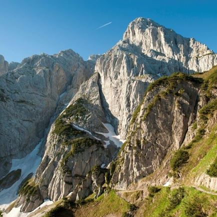
the Kalkstein and provides a wonderful panoramic view. Via a narrow, steep path, hike down towards Adlerspoint. Along a forest road you cross the peaceful mountain plateau. Descend either via the Huberalm or Angerlalm.

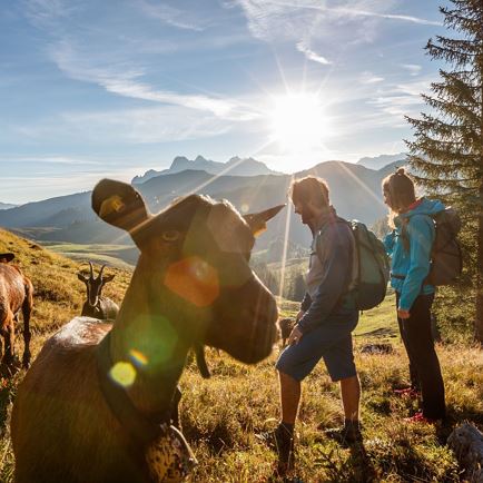
TIP: Bring snacks and drinks with you – there is only one refreshment stop option towards the end of the tour!


Read more

Info

Kirchberg at Kalkstein

Features

  • check medium difficulty / red mountain path
  • check
  • gravel and rocky paths
  • Steady trekking shoes
    Functional shirt
    Snacks and full drink bottles
    Fully charged mobile phone and charger
    First aid kit
    Sun protection
    Cash
  • Starting from the region St. Johann in Tirol (Click here for driving description) Follow B178 with direction to Lofer, turn right at parking lot Griesbachklamm (Salzburger Straße)
  • Postbus 4012 from St. Johann i.T. Bahnhof to Erpfendorf Griesbachklamm


    Return:

    Postbus 4012 from Erpfendorf Griesbachklamm to St. Johann i.T. Bahnhof
  • Parking lot Griesbachklamm

Restaurants & infrastructure

Huberalm

Huberalm
Huberalm
Erpfendorf
favorite_borderfavorite

Angerlalm

Angerlalm
Angerlalm
Open todayErpfendorf
favorite_borderfavorite

Similar